Lough Melvin
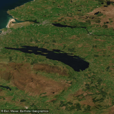
Lough Melvin
- Boat Ramps
- 0
- Access Points
- 0
- Campsites
- 1
Lough Melvin is a freshwater lake in the northwest of Ireland, straddling the border between County Leitrim and County Fermanagh. It measures approximately 12 km in length and up to 3 km in width, covering a surface area of 21.25 km². The lake reaches a maximum depth of 45 metres and contains several islands, including Inishtemple, Inishkeen, Inishmean, Inisheher, Gorminish, and Bilberry Island. The surrounding landscape features lush green hills, and the Glenade Valley to the south offers steep cliffs and waterfalls visible from the water.
The NorthWest Canoe Club, based in Kinlough on the southern shore in Co. Leitrim, uses the lough regularly and describes it as suitable for all skill levels. A paddling route runs between Kinlough and Garrison, the latter being a small settlement on the northeastern corner of the lough in Co. Fermanagh. A boat launch ramp is located near Rossinver on the southern shore. The lough's considerable depth and open expanse mean that wind and wave conditions can change, which paddlers should factor into trip planning.
Water quality has been rated as excellent, with an oligotrophic classification recorded around 2001–2003, indicating low nutrient levels and generally clear water. However, the lough faces ecological pressure from invasive species including curly waterweed, zebra mussels, and freshwater clams. Paddlers moving between fresh and saltwater environments are advised to wash their gear thoroughly to avoid spreading invasive species.
The lough is internationally known for its fish populations, including gillaroo and sonaghan trout, ferox trout, spring salmon, grilse, and an endemic species of char known as Melvin charr or Gray's charr. Anglers from around the world visit the lake, and boat hire is available through several operators including the Fishery Office at Lareen Park in Kinlough and Rossinver Fishery. Paddlers sharing the water with anglers should be mindful of fishing activity, particularly during the salmon season from February through July and the trout season. The northeastern corner of the lough falls within Northern Ireland, where different licensing and permit requirements apply to anglers, though no specific paddling restrictions for that area apply.
Water access, boat ramps & amenities
Learn how to get on Lough Melvin. Uncover great paddling access points, boat ramps, and all the facilities you need for an unforgettable day on the water. Some locations shown may border or include private property. Always check property boundaries and applicable regulations before visiting. PaddleWays's Public & Private Land layer can help you plan your access with confidence.
Paddle smarter with real-time insights
Whether you're en route and conditions shift or you're looking for the best spot based on current flows, we enable you to make informed decisions on the fly.







Co. Leitrim licenses and regulations
No licenses or regulations available for Co. Leitrim.
Find Places to Paddle

Over 400,000 Places to Paddle
Every user gets free access to launch points, boat ramps, and public property parcels.


Water and weather conditions (10 day forecast)
See the best times to paddle Lough Melvin and check the forecast before you go.
Lareen
Paddling near Lough Melvin
Lower Lough Erne

Shannon [Upper]
Donegal Bay
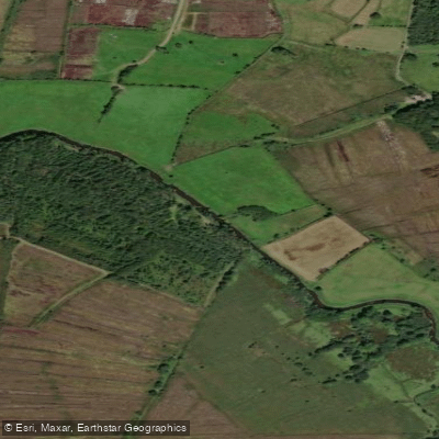
Duff
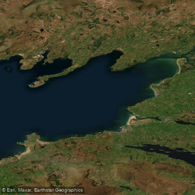
Donegal Bay (Erne)
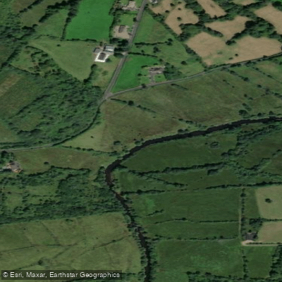
Bonet
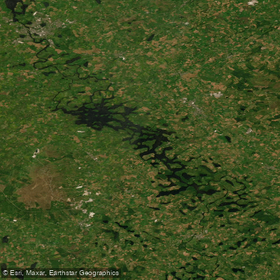
Erne (Lough) (Upper)
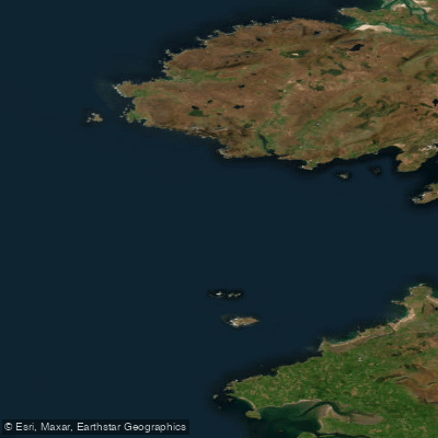
Donegal Bay Northern
Glenaniff
Explore Leitrim waters
Top paddling waters
No waters available right now.
Popular Cities
Loading popular cities...
Explore near Lough Melvin
Access points
Nearby waters
More in Co. Leitrim

Smarter Paddling Starts in the App.
Paddleways gives you everything you need to plan smarter, paddle better, and own every trip from first launch to takeout.