Lough Beagh
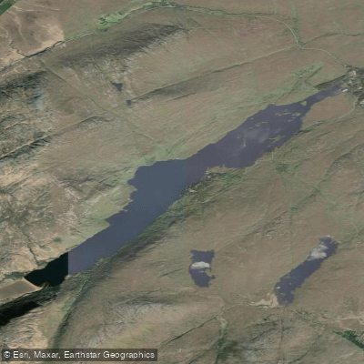
Lough Beagh
- Boat Ramps
- 0
- Access Points
- 0
- Campsites
- 0
Lough Beagh (Irish: Loch Ghleann Bheatha), also known as Lough Veagh, is a freshwater glacial lake in north County Donegal, situated within Glenveagh National Park approximately 24 kilometres northwest of Letterkenny. The lake measures roughly 6.5 kilometres long and 0.8 kilometres wide, with a surface area of 2.61 square kilometres. It sits at an elevation of 45.3 metres and occupies the narrow Glenveagh valley, flanked by the Derryveagh and Glendowan Mountains. Steep granite cliffs rise on both sides to heights of around 300 metres, and the northern end of the lake features numerous small islands. Average depth is 9.2 metres, with a maximum depth of 46.5 metres.
Water enters the lake via the Owenbeagh River at the southern end and drains northward through the Owencarrow River, which connects Lough Beagh to Glen Lough to the north.
Paddlers should be aware that the lake falls within Glenveagh National Park, which carries its own regulations. The fishing arrangements on the lough are notable in that bank fishing is not permitted; two boats with engines are available for hire. This suggests access and use of the lake is managed and regulated, and paddlers planning a visit should confirm current rules with Glenveagh National Park directly before launching any craft.
The surrounding landscape is dramatic, with tall granite cliffs on both sides and mountain terrain throughout. Wildlife in and around the lake includes brown trout, sea trout, Arctic char, salmon, minnow, and the critically endangered European eel. Bird life includes the migrating red-throated diver and the reintroduced golden eagle, making the area of considerable interest to wildlife observers on the water.
The fishing season runs from 15 July to 30 September, during which sea trout and salmon are present. August and September are noted as the best period for sea trout. Paddlers visiting during this window should be aware of active fishing activity on the water. Glenveagh Castle and its Victorian gardens are located within the national park and are accessible to visitors, providing a notable landmark along the lakeshore.
Water access, boat ramps & amenities
Learn how to get on Lough Beagh. Uncover great paddling access points, boat ramps, and all the facilities you need for an unforgettable day on the water. Some locations shown may border or include private property. Always check property boundaries and applicable regulations before visiting. PaddleWays's Public & Private Land layer can help you plan your access with confidence.
Paddle smarter with real-time insights
Whether you're en route and conditions shift or you're looking for the best spot based on current flows, we enable you to make informed decisions on the fly.







Co. Donegal licenses and regulations
No licenses or regulations available for Co. Donegal.
Find Places to Paddle

Over 400,000 Places to Paddle
Every user gets free access to launch points, boat ramps, and public property parcels.


Water and weather conditions (10 day forecast)
See the best times to paddle Lough Beagh and check the forecast before you go.
No forecast data available.
Paddling near Lough Beagh
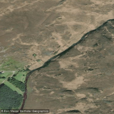
Gweebarra
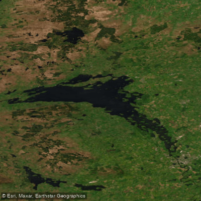
Lower Lough Erne
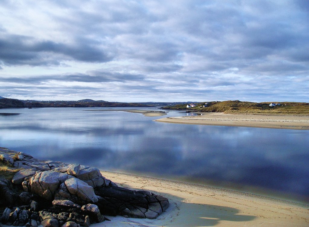
Gweedore Bay
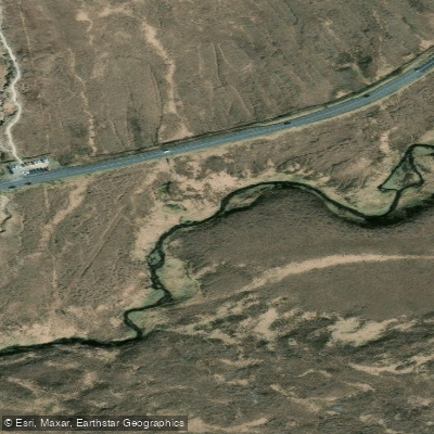
Owenwee [Dunlewy]
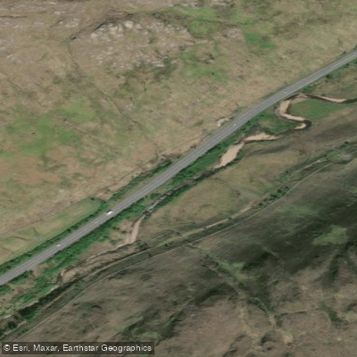
Lowerymore
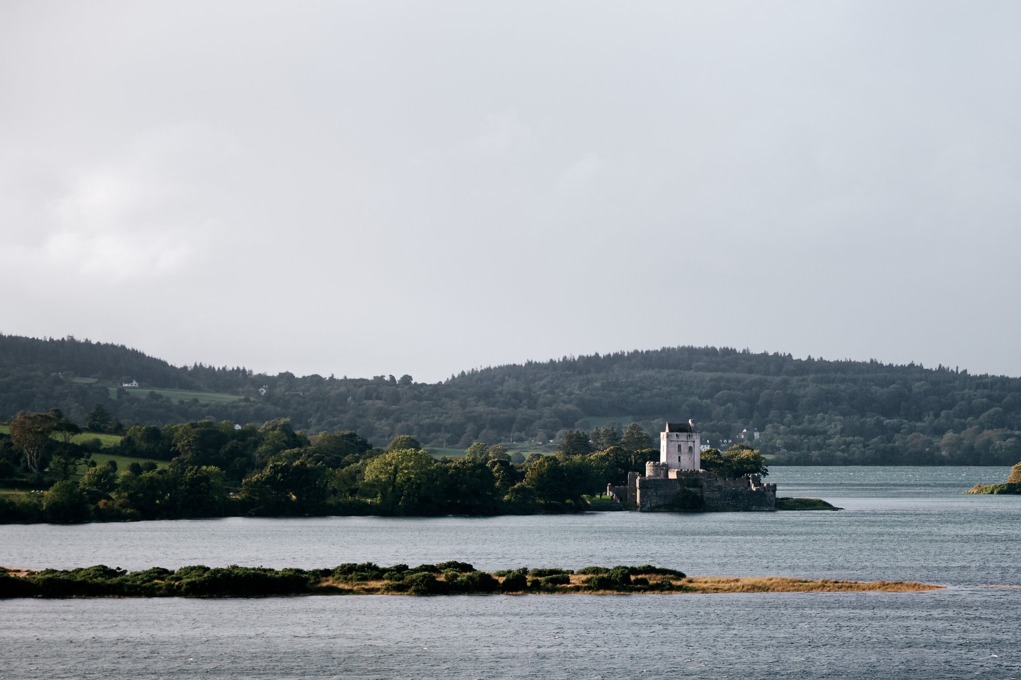
Sheephaven Bay
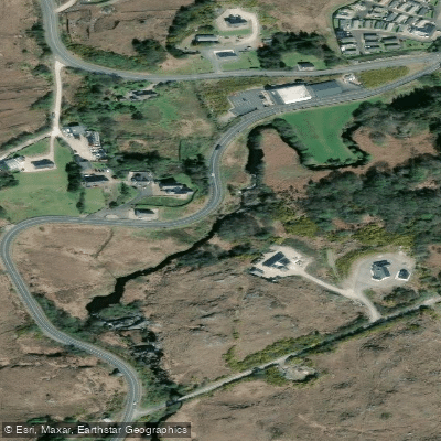
Gweedore
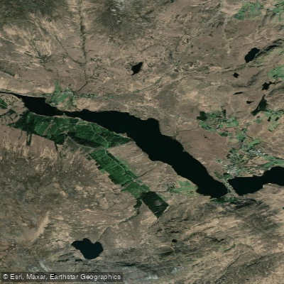
Lough Nacung
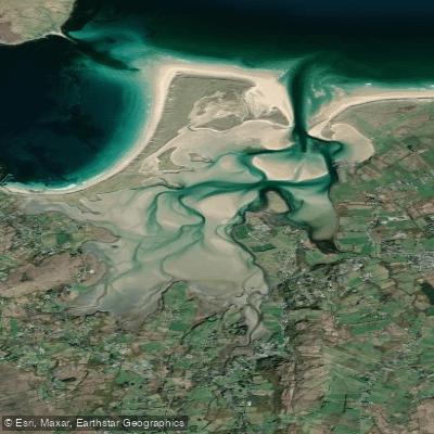
Ballyness Bay
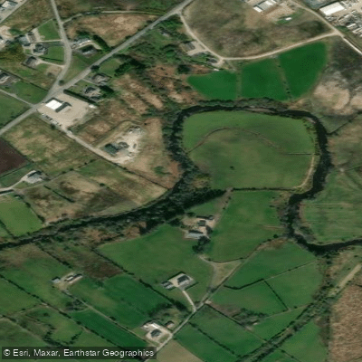
Crana
Explore Donegal waters
Top paddling waters
No waters available right now.
Popular Cities
Loading popular cities...
Explore near Lough Beagh
Nearby waters
More in Co. Donegal

Smarter Paddling Starts in the App.
Paddleways gives you everything you need to plan smarter, paddle better, and own every trip from first launch to takeout.