Brandon Bay
- Saltwater
- Bay
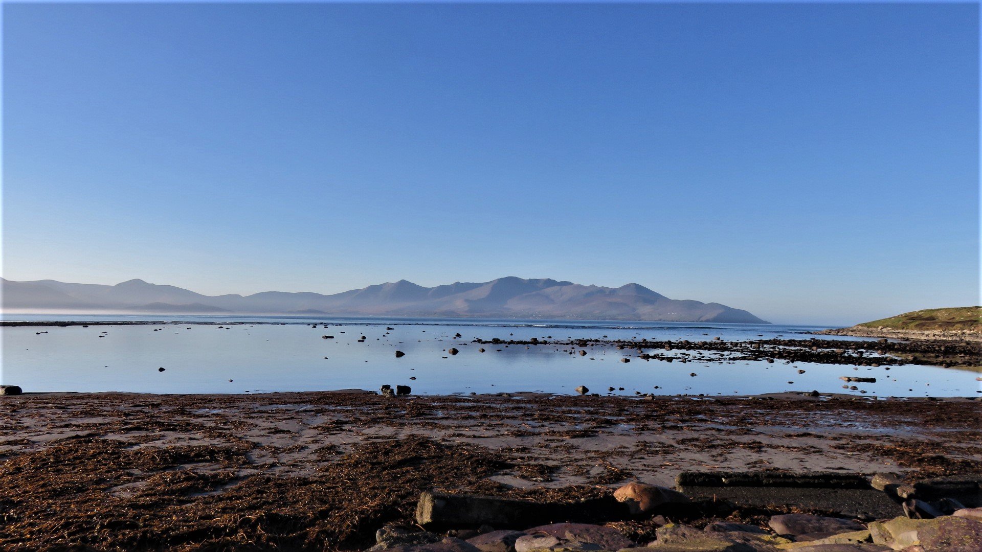
Brandon Bay
- Saltwater
- Bay
- Sq. miles
- 18
- Boat Ramps
- 0
- Access Points
- 0
- Campsites
- 0
Brandon Bay is a large, open bay on the west coast of Ireland, situated on the northern side of the Dingle Peninsula in County Kerry. It is approximately seven miles long, featuring a long stretch of white sandy beach under the gaze of Mount Brandon. The bay's location on the Wild Atlantic Way means it is exposed to ocean swell, but its sheltered position also offers a mix of calm waters and big waves. The primary launch and take-out area for paddlers is the extensive Castlegregory Beach, which extends for nearly 20 kilometers along the bay. This beach provides a gentle beach break suitable for novices, though there are also numerous surfing waves along the shore ranging from novice to expert levels, making it a location for SUP surfing as well. Access to the water is straightforward from this long beach, and there is a small village with a stone pier at one end of the bay offering an anchorage. Paddlers should be acutely aware of the strong currents that abound along this coastline, and weather patterns can change rapidly. The channel between the mainland and nearby islands, such as the Magharee Islands located a mile off the northern end of the sandy peninsula separating Brandon Bay from Tralee Bay, is known for some of the strongest currents in Europe. These conditions, combined with the potential for paddling up to a mile offshore to reach remote surf breaks, necessitate significant experience, local knowledge, or the use of a guided tour. The area is rich in wildlife, with potential sightings of seals, dolphins, whales, and abundant sea birds. Wetsuits are necessary year-round due to the cold water temperatures, and leashes are essential for safety. While no specific regulations are noted, the Irish Coast Guard has been involved in searches in the bay following incidents with unattended kayaks, underscoring the importance of proper safety precautions and not leaving craft unattended on the beach where they can blow out to sea.
Water access, boat ramps & amenities
Learn how to get on Brandon Bay. Uncover great paddling access points, boat ramps, and all the facilities you need for an unforgettable day on the water. Some locations shown may border or include private property. Always check property boundaries and applicable regulations before visiting. PaddleWays's Public & Private Land layer can help you plan your access with confidence.
Paddle smarter with real-time insights
Whether you're en route and conditions shift or you're looking for the best spot based on current flows, we enable you to make informed decisions on the fly.







Co. Kerry licenses and regulations
No licenses or regulations available for Co. Kerry.
Find Places to Paddle

Over 400,000 Places to Paddle
Every user gets free access to launch points, boat ramps, and public property parcels.


Tides, wind & water conditions (10 day forecast)
On open water, wind and tide matter as much as the weather. See the best times to paddle Brandon Bay and check the marine forecast before you launch.
Loading tide predictions…
Paddling near Brandon Bay
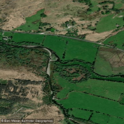
Caragh
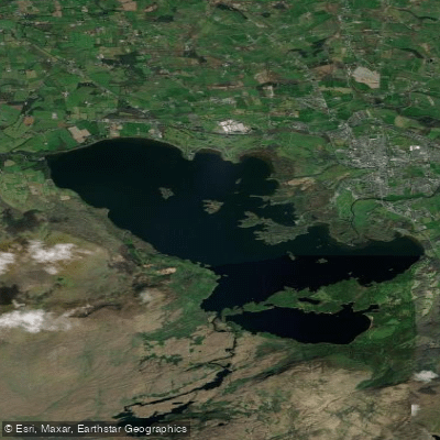
Lough Leane
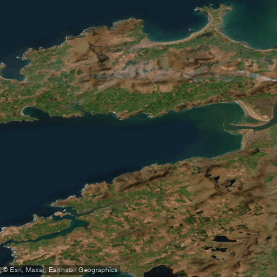
Dingle Bay - Bá an Daingin
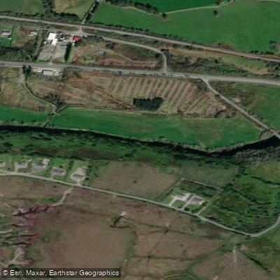
Flesk [Kerry]
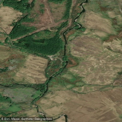
Behy [Kerry]
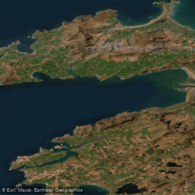
Outer Dingle Bay
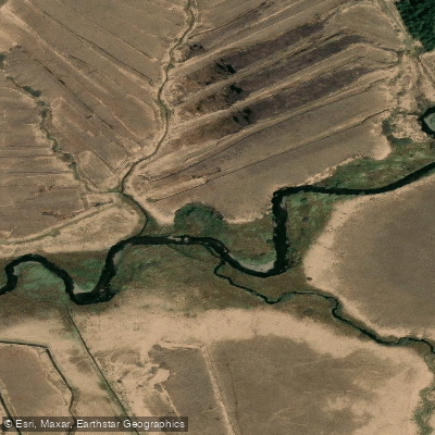
Cummeragh
Lee [Cork]
Caragh ( Lough )
Explore Kerry waters
Top paddling waters
No waters available right now.
Popular Cities
Loading popular cities...
Explore near Brandon Bay

Smarter Paddling Starts in the App.
Paddleways gives you everything you need to plan smarter, paddle better, and own every trip from first launch to takeout.