Castlemaine Harbour
- Saltwater
- Estuary
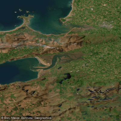
Castlemaine Harbour
- Saltwater
- Estuary
- Sq. miles
- 22
- Boat Ramps
- 0
- Access Points
- 0
- Campsites
- 0
Castlemaine Harbour is a large tidal estuary on the southwest coast of Ireland, forming the inner part of Dingle Bay in County Kerry. The harbour is sheltered by the prominent four-mile-long sand spit of Inch Beach, which projects into it from the north. This geography creates a scenic paddling environment with views across the water to the Macgillycuddy Reeks and Dingle Mountains. The area is designated as a Special Protection Area due to its importance for wintering waterfowl and diverse coastal wildlife, offering paddlers opportunities to see birdlife such as cormorants and gulls. The river Maine flows into the harbour from the east, and the river Laune enters from the north near Cromane, contributing to the estuarine environment.
The harbour is accessible from several points along its shores. The village of Cromane, on the northern shore, features a fishing dock and is a common put-in location. The area around Calinafercy Pier is another noted access point. On the southern side, the village of Castlemaine sits at the gateway to the Dingle Peninsula on the banks of the river Maine, which flows west into the harbour. The harbour's waters are used by local fishermen in small boats, indicating the presence of boat traffic that paddlers should be aware of. A sea kayaking described as for experts runs past towering cliffs and hidden coves within the harbour. The overall character is one of a large, open, and scenic estuary with a mix of sandy shores, mudflats, and coastal cliffs. The water is noted for being clean, and the area is popular for various water sports including kayaking and sailing. Given its exposure to the wider Dingle Bay and the Atlantic beyond, paddlers should be prepared for potential wind and fetch, and must plan around significant tidal currents, as the entire feature is tidal.
Water access, boat ramps & amenities
Learn how to get on Castlemaine Harbour. Uncover great paddling access points, boat ramps, and all the facilities you need for an unforgettable day on the water. Some locations shown may border or include private property. Always check property boundaries and applicable regulations before visiting. PaddleWays's Public & Private Land layer can help you plan your access with confidence.
Paddle smarter with real-time insights
Whether you're en route and conditions shift or you're looking for the best spot based on current flows, we enable you to make informed decisions on the fly.







Co. Kerry licenses and regulations
No licenses or regulations available for Co. Kerry.
Find Places to Paddle

Over 400,000 Places to Paddle
Every user gets free access to launch points, boat ramps, and public property parcels.


Tides, wind & water conditions (10 day forecast)
On open water, wind and tide matter as much as the weather. See the best times to paddle Castlemaine Harbour and check the marine forecast before you launch.
Loading tide predictions…
Paddling near Castlemaine Harbour
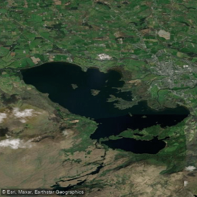
Lough Leane
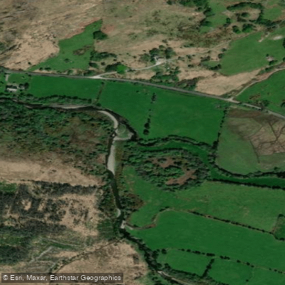
Caragh
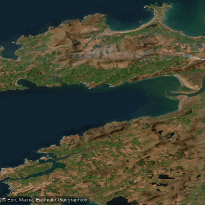
Dingle Bay - Bá an Daingin
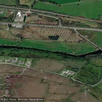
Flesk [Kerry]
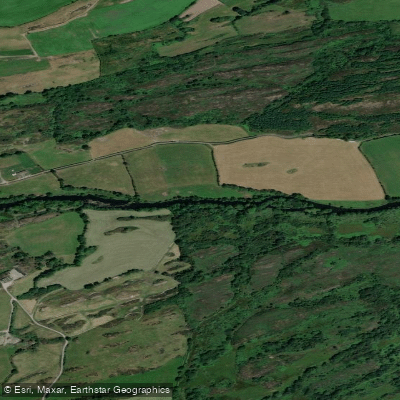
Lee [Cork]
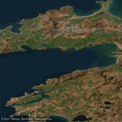
Outer Dingle Bay
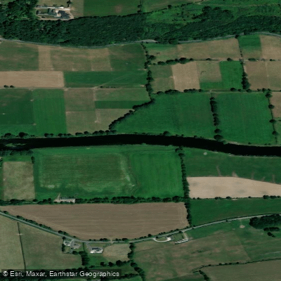
Blackwater [Munster]
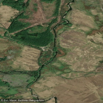
Behy [Kerry]
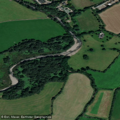
Gaddagh
Explore Kerry waters
Top paddling waters
No waters available right now.
Popular Cities
Loading popular cities...
Explore near Castlemaine Harbour

Smarter Paddling Starts in the App.
Paddleways gives you everything you need to plan smarter, paddle better, and own every trip from first launch to takeout.