Gaddagh
Gaddagh
- Boat Ramps
- 0
- Access Points
- 0
- Campsites
- 1
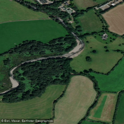
The Gaddagh is a 5-kilometre whitewater river in County Kerry, Munster, rated Grade 4–5. Its headwaters originate in Lochs Callii and Gabhracht on the north side of the Macgillycuddy Reeks mountain range, at an elevation of approximately 450 metres. The river flows through Hags Glen and down the Carrauntoohil Valley before joining the River Leaune, which eventually discharges into the sea at Killorglin.
The river is divided into three distinct sections. The top section, above the waterfalls or "drops" in Hags Glen, is considered potentially Grade 5. The middle section, from below the drops to a point below Cronin's Yard, is generally regarded as Grade 4. The final wooded section, from Cronin's Yard to Gaddagh Bridge, is Grade 3, where the river has widened, its gradient has reduced, and the intensity of flow has diminished. Throughout the upper sections, the river has cut a series of terraces through the mountain over time, producing a number of waterfalls.
The put-in is above Hags Glen, above the series of waterfalls, and the take-out is at Gaddagh Bridge. The river maintains a steep gradient for the majority of its transit through Hags Glen, which is a defining characteristic of the paddling experience.
A critical planning consideration is that the Gaddagh is highly dependent on rainfall and runs only sporadically. Continuous heavy rain is required to bring the river to a paddleable level, typically supplied by slow-moving low-pressure weather fronts approaching from the west. The height and profile of the surrounding mountains cause orographic uplift, which enhances rainfall and causes river levels to rise rapidly. Because flooding is both infrequent and short-lived, it is generally not possible to plan a trip in advance; decisions to paddle are typically made at short notice by groups already in the area. Any paddler considering this river should be prepared to act opportunistically when conditions align.
Water access, boat ramps & amenities
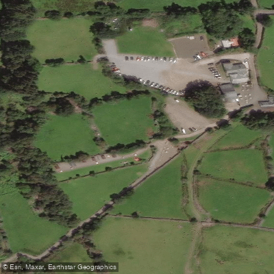
Learn how to get on Gaddagh. Uncover great paddling access points, boat ramps, and all the facilities you need for an unforgettable day on the water. Some locations shown may border or include private property. Always check property boundaries and applicable regulations before visiting. PaddleWays's Public & Private Land layer can help you plan your access with confidence.
Paddle smarter with real-time insights
Whether you're en route and conditions shift or you're looking for the best spot based on current flows, we enable you to make informed decisions on the fly.







Co. Kerry licenses and regulations
No licenses or regulations available for Co. Kerry.
Find Places to Paddle

Over 400,000 Places to Paddle
Every user gets free access to launch points, boat ramps, and public property parcels.


Water and weather conditions (10 day forecast)
See the best times to paddle Gaddagh and check the forecast before you go.
No forecast data available.
Paddling near Gaddagh
Lough Leane
Caragh
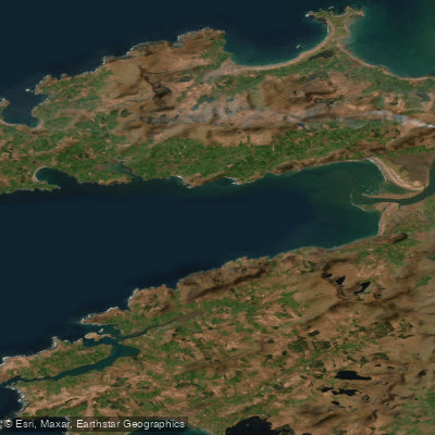
Dingle Bay - Bá an Daingin
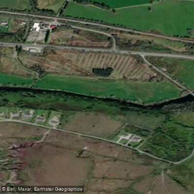
Flesk [Kerry]
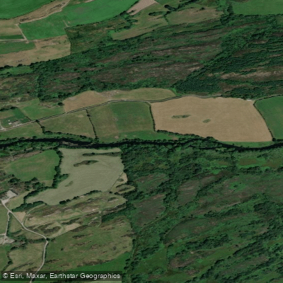
Lee [Cork]
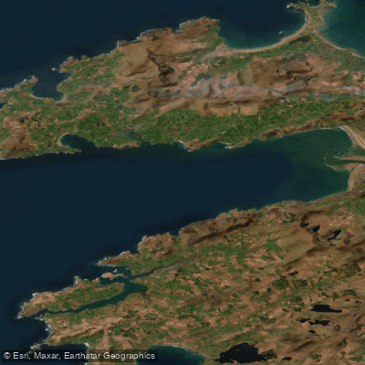
Outer Dingle Bay
Blackwater [Munster]
Behy [Kerry]
Castlemaine Harbour
Explore Kerry waters
Top paddling waters
No waters available right now.
Popular Cities
Loading popular cities...
Explore near Gaddagh
Access points
Nearby waters
More in Co. Kerry

Smarter Paddling Starts in the App.
Paddleways gives you everything you need to plan smarter, paddle better, and own every trip from first launch to takeout.