Lough Egish
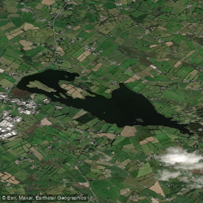
Lough Egish
- Boat Ramps
- 0
- Access Points
- 0
- Campsites
- 0
Lough Egish is located approximately 9 kilometres south-east of Ballybay in County Monaghan, Ireland. The lake covers an area of 117 hectares, making it a substantial body of water. Its shape is notably deceptive: a large headland projects from the northern shore, so that when viewed from the western end, the lake appears considerably smaller than it actually is. The water is studded with islands, which adds to the complexity of navigation and the overall character of the paddling environment.
Depths across the lake range from 2 metres to a maximum of 10 metres. A significant hazard for anyone on the water is the prevalence of submerged rocks lying close to the surface in many areas. Paddlers should exercise consistent caution throughout the lake, as these hazards are not always visible and are distributed across the water rather than confined to a single zone.
Access to the lake is from the R181 road, where a boat can be launched near the village of Lough Egish. The lake is generally considered best explored by boat rather than from the shore, given its size and the reed and rush fringes typical of the surrounding area.
The lake sits within the broader landscape of County Monaghan, a region characterised by drumlin topography and scattered lakes. Lough Mourne, another lake of approximately 45 hectares, lies nearby in the angle of the R181 and R180 roads, providing some context for the wider network of water bodies in the area.
No specific paddling restrictions or regulations are known for Lough Egish. The combination of the lake's considerable size, its island-studded interior, the misleading headland geometry, and the widespread submerged rock hazards means that careful route planning and attentive navigation are advisable for anyone paddling here.
Water access, boat ramps & amenities
Learn how to get on Lough Egish. Uncover great paddling access points, boat ramps, and all the facilities you need for an unforgettable day on the water. Some locations shown may border or include private property. Always check property boundaries and applicable regulations before visiting. PaddleWays's Public & Private Land layer can help you plan your access with confidence.
Paddle smarter with real-time insights
Whether you're en route and conditions shift or you're looking for the best spot based on current flows, we enable you to make informed decisions on the fly.







Co. Monaghan licenses and regulations
No licenses or regulations available for Co. Monaghan.
Find Places to Paddle

Over 400,000 Places to Paddle
Every user gets free access to launch points, boat ramps, and public property parcels.


Water and weather conditions (10 day forecast)
See the best times to paddle Lough Egish and check the forecast before you go.
No forecast data available.
Paddling near Lough Egish
Fane

Inny [Shannon]
Outer Dundalk Bay
Boyne
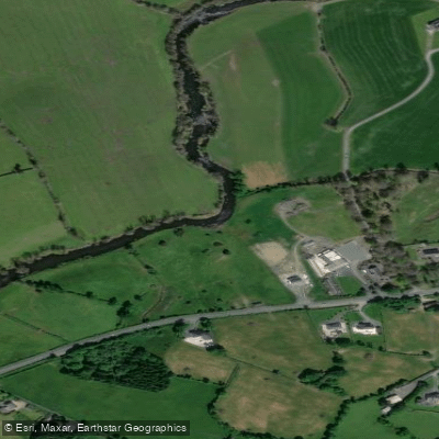
Annalee
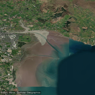
Inner Dundalk Bay
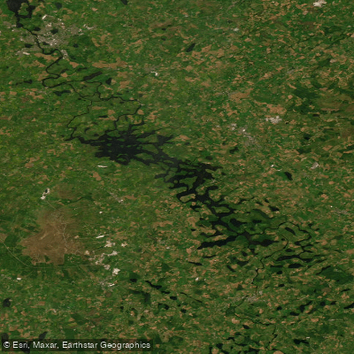
Erne (Lough) (Upper)
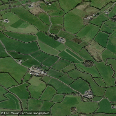
Erne
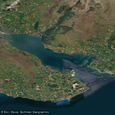
Carlingford Lough
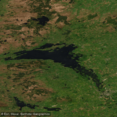
Lower Lough Erne
Explore Monaghan waters
Top paddling waters
No waters available right now.
Popular Cities
Loading popular cities...
Explore near Lough Egish
Nearby waters
More in Co. Monaghan

Smarter Paddling Starts in the App.
Paddleways gives you everything you need to plan smarter, paddle better, and own every trip from first launch to takeout.