Dungarvan Harbour
- Saltwater
- Bay
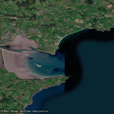
Dungarvan Harbour
- Saltwater
- Bay
- Sq. miles
- 8.8
- Boat Ramps
- 0
- Access Points
- 0
- Campsites
- 0
Dungarvan Harbour is a coastal bay and estuary located at the head of Dungarvan Bay in County Waterford, Ireland. The harbour is formed by The Quay fronting the town of Dungarvan on its western side and is situated at the mouth of the Colligan River, which divides the town from Abbeyside to the east. The bay itself is approximately two and a half miles wide, with its western limit defined by a one and a half mile sandbar called The Cunnigar. The harbour is an east-facing, extensive bay, offering a mix of open water and sheltered estuary conditions. The area is a designated Ramsar Wetland Site, indicating significant ecological value.
For paddlers, the primary public launch point is the harbour slip in Dungarvan, directly accessible from the town quay area. The tidal range is significant and critical for trip planning. The harbour's appearance changes drastically between high and low tide, transforming from a deep harbour to expansive mud flats. This substantial tidal exchange affects water depth, particularly in the approach channel. Navigation buoys mark the channel, but charted depths can be as little as 0.2 metres at Lowest Astronomical Tide near the town quay, meaning paddlers must plan their start and return times around high tide to ensure sufficient water for accessing the slip. The bay is exposed to southwesterly gales, which can send a heavy swell into the area, creating potentially hazardous conditions. The fetch across the open bay means wind can quickly build choppy water. The harbour is a working area with a sailing club pontoon and visiting boats, so paddlers should expect other vessel traffic and maintain awareness, particularly in the main channel.
The surrounding area offers scenic views of the town, Dungarvan Castle, and the distant Helvick Head. The Waterford Greenway crosses a bridge over the harbour, providing a notable landmark. Wildlife is present in the intertidal zone, especially when the tide is out. Water quality has been historically impacted but major wastewater infrastructure improvements have been made, with the area now noted for its clean waterways. The Dungarvan Harbour Sailing Club is active in the harbour and manages the pontoon facilities. The overall character is that of a historic, working harbour within a large, scenic bay, where careful attention to tide and weather is essential for a safe and enjoyable paddle.
Water access, boat ramps & amenities
Learn how to get on Dungarvan Harbour. Uncover great paddling access points, boat ramps, and all the facilities you need for an unforgettable day on the water. Some locations shown may border or include private property. Always check property boundaries and applicable regulations before visiting. PaddleWays's Public & Private Land layer can help you plan your access with confidence.
Paddle smarter with real-time insights
Whether you're en route and conditions shift or you're looking for the best spot based on current flows, we enable you to make informed decisions on the fly.







Co. Waterford licenses and regulations
No licenses or regulations available for Co. Waterford.
Find Places to Paddle

Over 400,000 Places to Paddle
Every user gets free access to launch points, boat ramps, and public property parcels.


Tides, wind & water conditions (10 day forecast)
On open water, wind and tide matter as much as the weather. See the best times to paddle Dungarvan Harbour and check the marine forecast before you launch.
Loading tide predictions…
Paddling near Dungarvan Harbour
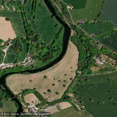
Suir
Colligan
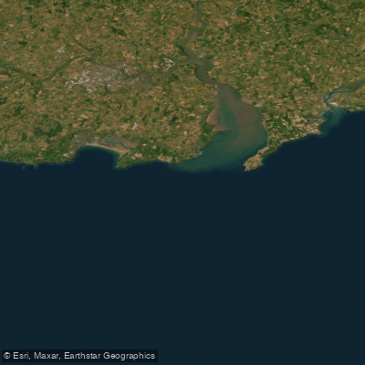
Eastern Celtic Sea (HAs 13;17)
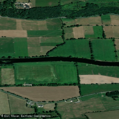
Blackwater [Munster]
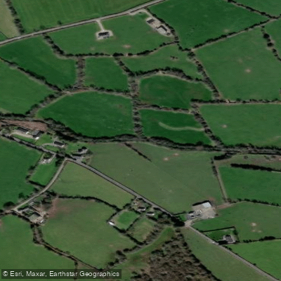
Mahon
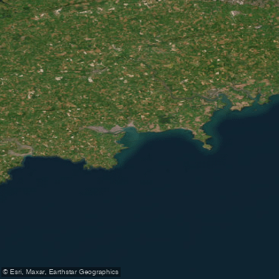
Western Celtic Sea (HAs 18;19;20)
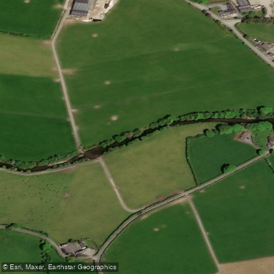
Nier
Clodiagh [Portlaw]

Barrow
Explore Waterford waters
Top paddling waters
No waters available right now.
Popular Cities
Loading popular cities...
Explore near Dungarvan Harbour

Smarter Paddling Starts in the App.
Paddleways gives you everything you need to plan smarter, paddle better, and own every trip from first launch to takeout.