Lough Derravaragh
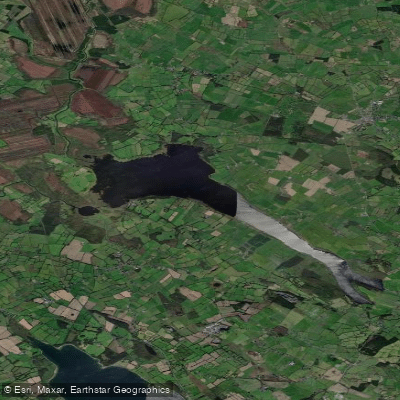
Lough Derravaragh
- Boat Ramps
- 0
- Access Points
- 0
- Campsites
- 1
Lough Derravaragh is a lake in County Westmeath, Ireland, situated north of Mullingar on the River Inny, which flows from Lough Sheelin on its way to the River Shannon. The lake is roughly 10 km long and up to 4 km wide, covering a surface area of approximately 9.14 km² (2,260 acres), with a maximum depth of 23 m (75 ft) and a surface elevation of 61 m. Its shape has been compared to that of Italy — elongated with a broader northern section and a narrower, deeper neck toward Crookedwood to the south. The northern portion is broad and relatively shallow, while the southern stretch is narrow and deep.
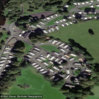
Canoeing and other watersports are established activities on the lake. The main public Donore near Multyfarnham, where a caravan park, shop, and restaurant operate in summer. Boats can be moored free of charge at Donore, Coolure, Faughanstown, and Clintons Bay. Boat hire, including fibreglass lake boats with outboard engines, lifejackets, and fuel, is available at a facility situated just off the N4, approximately 4 km outside Multyfarnham.
The lake sits within a landscape of notable ecological and historical interest. It is designated a Special Protection Area (SPA) for birds, with Greenland white-fronted geese, whooper swans, and European golden plovers among the protected species. Otters and Irish hares are also present in the area, and rare aquatic plants including the charophyte Chara denundata have been recorded. On the southeastern shore, Knockeyon hill rises steeply to 215 metres, with the ruins of the ancient Saint Cauragh chapel and well visible partway up the slope. A Stone Age dug-out canoe was discovered in the lake during the 1970s, reflecting thousands of years of human use of these waters.
Anglers share the water, and the lake is managed by Inland Fisheries Ireland as part of its Midland Fisheries Group, requiring fishing permits. Paddlers should be aware of boat traffic, particularly given the presence of motorised hire boats and angling vessels. The surrounding towns of Multyfarnham and Castlepollard provide the nearest services, and the lake is accessible from Mullingar, roughly 8 miles to the southeast.
Water access, boat ramps & amenities
Learn how to get on Lough Derravaragh. Uncover great paddling access points, boat ramps, and all the facilities you need for an unforgettable day on the water. Some locations shown may border or include private property. Always check property boundaries and applicable regulations before visiting. PaddleWays's Public & Private Land layer can help you plan your access with confidence.
Paddle smarter with real-time insights
Whether you're en route and conditions shift or you're looking for the best spot based on current flows, we enable you to make informed decisions on the fly.







Co. Westmeath licenses and regulations
No licenses or regulations available for Co. Westmeath.
Find Places to Paddle

Over 400,000 Places to Paddle
Every user gets free access to launch points, boat ramps, and public property parcels.


Water and weather conditions (10 day forecast)
See the best times to paddle Lough Derravaragh and check the forecast before you go.
Lough Derravaragh
Paddling near Lough Derravaragh

Inny [Shannon]
Boyne
Boyne Estuary
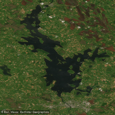
Lough Ree

Shannon [Upper]
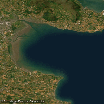
Outer Dundalk Bay
Erne
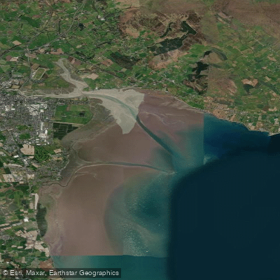
Inner Dundalk Bay

Barrow
Explore Westmeath waters
Top paddling waters
No waters available right now.
Popular Cities
Loading popular cities...
Explore near Lough Derravaragh
Access points
Nearby waters
More in Co. Westmeath

Smarter Paddling Starts in the App.
Paddleways gives you everything you need to plan smarter, paddle better, and own every trip from first launch to takeout.