Tacumshin Lake
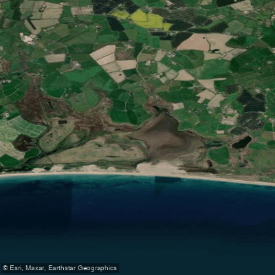
Tacumshin Lake
- Boat Ramps
- 0
- Access Points
- 0
- Campsites
- 0
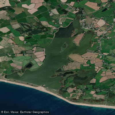
Tacumshin Lake is a shallow coastal lagoon situated on the south County Wexford coast, approximately 15–16 kilometres south of Wexford town and roughly halfway between Kilmore Quay and Carnsore Point. The lake covers an area of about 3 square kilometres and sits on the landward side of a wedge-shaped sand and shingle barrier known locally as "the burrow," which separates the lagoon from the open sea. The Irish name, Loch Sáile, translates as "Saltwater Lake," reflecting the saline character of the water. The lagoon was formerly a shallow sea bay that became progressively cut off from the sea through longshore drift, and it is now largely land-locked, with connection to the sea maintained only through drainage pipes set through the gravel and sand bar.
The lake is designated both a Special Protection Area (SPA, IE0004092) and a Special Area of Conservation (SAC, IE0000709) under EU directives, recognising its importance for lagoon habitat, sand dunes, and stony bank habitats. These designations mean paddlers should be aware that the site is subject to conservation regulations, and any activity should be undertaken with care to avoid disturbing protected habitats and wildlife.
The lagoon is one of the most significant ornithological sites in Ireland, supporting an assemblage of over 20,000 wintering waterbirds. Species of particular note include Whooper Swan, Bewick's Swan, Black-tailed Godwit, Wigeon, Gadwall, Pintail, Teal, Shoveler, Tufted Duck, Coot, Golden Plover, Grey Plover, Lapwing, and Little Grebe. The site is also notable for passage waders and vagrant North American and Eurasian waterfowl, particularly in autumn. The waterfowl population remains diverse throughout the year, which is unusual among Irish wetlands.
Road access to the lake is available at five points, including directly at The White Hole. The surrounding landscape is part of what is described as Ireland's Great Barrier Coast, considered one of the finest barrier coastlines in Europe. The barrier itself shows evidence of landward migration over time, and the broader coastal geology includes Rosslare Complex metamorphic rocks and Caledonian granites associated with the nearby Saltee Islands and Carnsore Point.
Water access, boat ramps & amenities
Learn how to get on Tacumshin Lake. Uncover great paddling access points, boat ramps, and all the facilities you need for an unforgettable day on the water. Some locations shown may border or include private property. Always check property boundaries and applicable regulations before visiting. PaddleWays's Public & Private Land layer can help you plan your access with confidence.
Paddle smarter with real-time insights
Whether you're en route and conditions shift or you're looking for the best spot based on current flows, we enable you to make informed decisions on the fly.







Co. Wexford licenses and regulations
No licenses or regulations available for Co. Wexford.
Find Places to Paddle

Over 400,000 Places to Paddle
Every user gets free access to launch points, boat ramps, and public property parcels.


Water and weather conditions (10 day forecast)
See the best times to paddle Tacumshin Lake and check the forecast before you go.
Sigginstown
Paddling near Tacumshin Lake

Barrow
Slaney

St George's Channel
Avonbeg
Avonmore
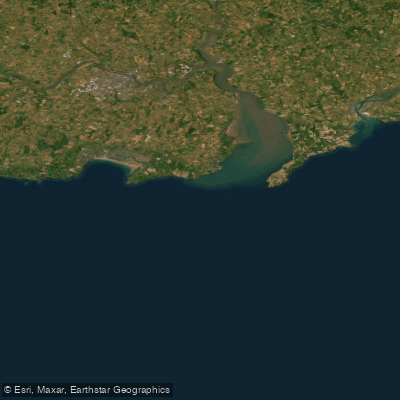
Eastern Celtic Sea (HAs 13;17)
Suir
Cahore
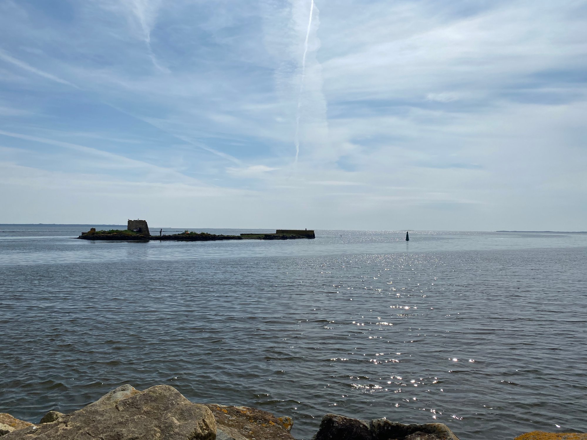
Wexford Harbour
Lady'S Island Lake
Explore Wexford waters
Top paddling waters
No waters available right now.
Popular Cities
Loading popular cities...
Explore near Tacumshin Lake

Smarter Paddling Starts in the App.
Paddleways gives you everything you need to plan smarter, paddle better, and own every trip from first launch to takeout.