Inchavore
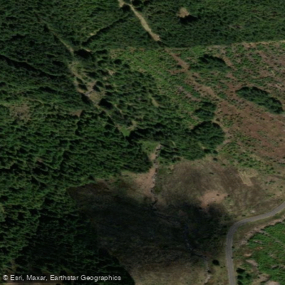
Inchavore
- Boat Ramps
- 0
- Access Points
- 0
- Campsites
- 0
The Inchavore is a river in County Wicklow, Ireland, flowing through the Inchavore Valley before emptying into Lough Dan. It is considered one of the lesser-run classic whitewater runs in the Wicklow region, partly due to its unpredictable water levels and an unusually long shuttle. The put-in is located near the Sally Gap on the road toward Glenmacnass, and the river's character at the top is reminiscent of the Source of the Liffey — extremely narrow at the outset, essentially ditch paddling for a considerable stretch before the river develops. Because the put-in is not on a commonly traveled route, paddlers rarely get the opportunity to scout water levels in passing, which adds to the uncertainty of planning a trip.
The standard takeout is at the bottom of Lough Dan, which requires paddling the full length of the lake after completing the river section. This makes the shuttle one of the longest in Ireland and is a significant logistical consideration when planning a trip. The Cloghoge Brook, which runs roughly parallel to the Inchavore about 2 km to the north, is sometimes combined with a similar takeout at Lough Dan.
Water levels on the Inchavore are variable and not always easy to predict. One informal gauge used by paddlers is the level on the Dargle — when the Dargle is running at around one-and-a-half blocks, the Inchavore has been found to be runnable, though this correlation is anecdotal.
The Inchavore Valley itself is ecologically rich. The river and surrounding area support breeding Dippers and Grey Wagtails, and Herons and Cormorants are present near the confluence with Lough Dan. Otters, deer, hare, and red grouse have all been recorded in the valley, and Peregrine Falcons nest on steep cliffs on the eastern side of Lough Dan. The valley contains broad-leaved woodland and the river is noted for its invertebrate populations.
Paddlers should be aware that a fatal kayaking accident occurred on the Inchavore River in November 2014, underscoring that the river carries genuine hazard, particularly at higher water levels. The combination of remote location, difficult shuttle logistics, and unpredictable flows means the Inchavore demands careful planning and appropriate experience.
Water access, boat ramps & amenities
Learn how to get on Inchavore. Uncover great paddling access points, boat ramps, and all the facilities you need for an unforgettable day on the water. Some locations shown may border or include private property. Always check property boundaries and applicable regulations before visiting. PaddleWays's Public & Private Land layer can help you plan your access with confidence.
Paddle smarter with real-time insights
Whether you're en route and conditions shift or you're looking for the best spot based on current flows, we enable you to make informed decisions on the fly.







Co. Wicklow licenses and regulations
No licenses or regulations available for Co. Wicklow.
Find Places to Paddle

Over 400,000 Places to Paddle
Every user gets free access to launch points, boat ramps, and public property parcels.


Water and weather conditions (10 day forecast)
See the best times to paddle Inchavore and check the forecast before you go.
No forecast data available.
Paddling near Inchavore
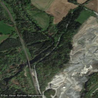
Avonmore
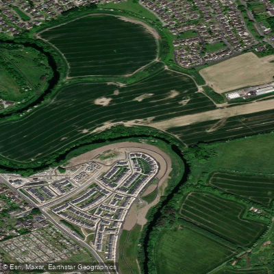
Liffey
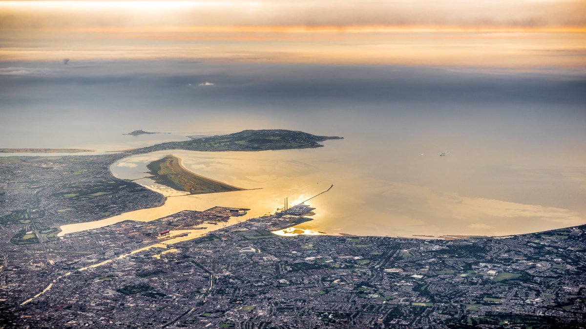
Dublin Bay
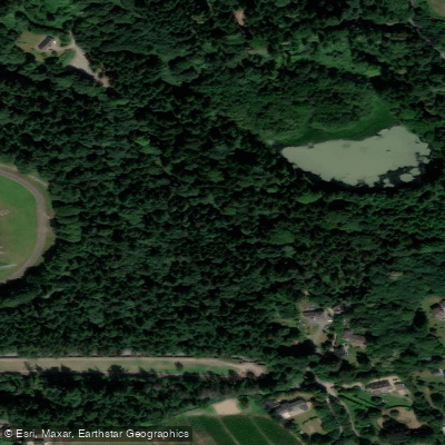
Vartry
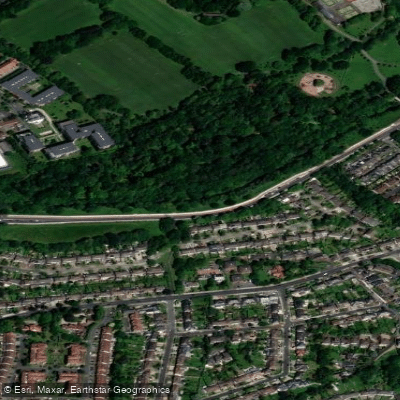
Dodder
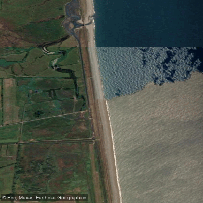
Leamore Strand
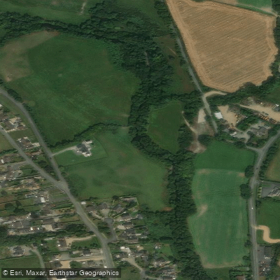
Avonbeg
Dargle
Broad Lough

Barrow
Explore Wicklow waters
Top paddling waters
No waters available right now.
Popular Cities
Loading popular cities...
Explore near Inchavore
More in Co. Wicklow

Smarter Paddling Starts in the App.
Paddleways gives you everything you need to plan smarter, paddle better, and own every trip from first launch to takeout.