Gat van de Noorderklip
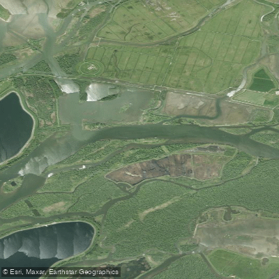
Gat van de Noorderklip
- Boat Ramps
- 0
- Access Points
- 0
- Campsites
- 0
The Gat van de Noorderklip is a significant waterway in the Brabantse Biesbosch, part of Europe's largest freshwater tidal area in the Netherlands. Although technically a creek, it is wide enough to resemble a substantial river. Its upper section, which forms the boundary between the Noordwaard and Zuidwaard of the Biesbosch, is known as the Reugt or Ruigt; the name changes to Gat van de Noorderklip a few kilometers downstream. The waterway begins as a broad westward branch of the Steurgat and serves as an important navigable route connecting the Steurgat to the Hollandsch Diep, in addition to its ongoing function in water drainage.
Several creeks feed into the Gat van de Noorderklip and Ruigt. Moving downstream from where the waterway branches off the Steurgat, these include the Gat van Paulus, the Bevert, the Dood, the Buiten-Kooigat, and a recently excavated unnamed connection to the Nieuwe Merwede. After passing the island Rietplaat — located opposite the Petrusplaat reservoir, one of three storage basins in the Brabantse Biesbosch — the waterway changes name again to the Gat van Van Kampen, which eventually transitions into the Gat van de Visschen.
The waterway is well-suited to canoe and kayak touring. Organized canoe trips departing from Jachthaven van Oversteeg use the Gat van de Noorderklip and Ruigt as part of multi-hour routes through the Biesbosch. One route, estimated at approximately 2.5 hours, passes through wide ditches and winding creeks, reaches the Rietplaat island where paddlers can stop on a beach, and then continues across the Gat van de Noorderklip and Ruigt to a campsite. Another route of roughly 2.25 hours incorporates the Buiten-Kooigat and the Bevert, where a pole campsite is available for overnight stays at a modest fee, though it has no sanitary facilities or drinking water and requires advance reservation.
The surrounding landscape is characteristic of the Biesbosch delta environment, featuring willow forests, wetlands, and a network of rivers, islets, and streams. The area supports diverse wildlife. The terrain is flat, and the waterway's position within a protected natural area makes it a notable destination for paddlers seeking an immersive delta experience.
Water access, boat ramps & amenities
Learn how to get on Gat van de Noorderklip. Uncover great paddling access points, boat ramps, and all the facilities you need for an unforgettable day on the water. Some locations shown may border or include private property. Always check property boundaries and applicable regulations before visiting. PaddleWays's Public & Private Land layer can help you plan your access with confidence.
Paddle smarter with real-time insights
Whether you're en route and conditions shift or you're looking for the best spot based on current flows, we enable you to make informed decisions on the fly.







North Brabant licenses and regulations
No licenses or regulations available for North Brabant.
Find Places to Paddle

Over 400,000 Places to Paddle
Every user gets free access to launch points, boat ramps, and public property parcels.


Water and weather conditions (10 day forecast)
See the best times to paddle Gat van de Noorderklip and check the forecast before you go.
No forecast data available.
Paddling near Gat van de Noorderklip
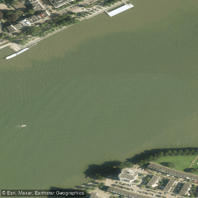
Nieuwe Maas
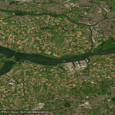
Hollandsch Diep
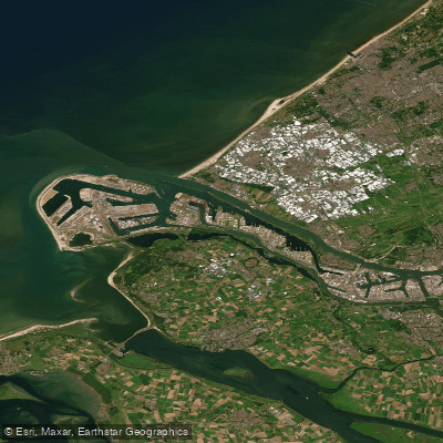
Nieuwe Waterweg
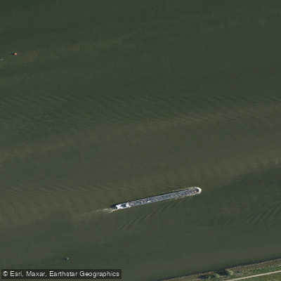
Hollandsch Diep
Nieuwe Merwede
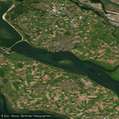
Haringvliet-west
Hollandsch Diep
Nieuwe Merwede
Oosterschelde
Beneden-Merwede
Explore North Brabant waters
Top paddling waters
No waters available right now.
Popular Cities
Loading popular cities...
Explore near Gat van de Noorderklip

Smarter Paddling Starts in the App.
Paddleways gives you everything you need to plan smarter, paddle better, and own every trip from first launch to takeout.