Volkerak
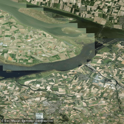
Volkerak
- Boat Ramps
- 0
- Access Points
- 5
- Campsites
- 0
The Volkerak is a large, structured stretch of water in the Netherlands, centrally positioned within the Rhine delta system. The Haringvliet lies to the north and the Hollands Diep to the east, making the Volkerak a connecting element within a broader network of waterways, locks, and canals that also carries commercial shipping traffic. Paddlers should be aware that commercial vessel traffic is present on the water.
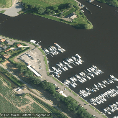
Access by boat is possible at Galathese Haven, which has a modernised trailer slipway and is noted as a practical entry point with straightforward procedures and short distances to the water. Another option is De Heen and De Schapenput, located on the Steenbergse Vliet. Reaching De Schapenput involves travelling approximately three kilometres along the Steenbergse Vliet from the Benedensas before reaching the junction into the harbour canal on the starboard side; the site includes a slip option. The marina area at Oude Tonge also provides direct water access to the Volkerak.
Weather conditions can render the Volkerak unsafe for small craft, and trips on the water are sometimes cancelled or relocated due to adverse conditions. This suggests paddlers should exercise caution and monitor weather carefully before launching, as the open character of the water body can expose paddlers to wind and wave conditions.
Water access, boat ramps & amenities
Learn how to get on Volkerak. Uncover great paddling access points, boat ramps, and all the facilities you need for an unforgettable day on the water. Some locations shown may border or include private property. Always check property boundaries and applicable regulations before visiting. PaddleWays's Public & Private Land layer can help you plan your access with confidence.
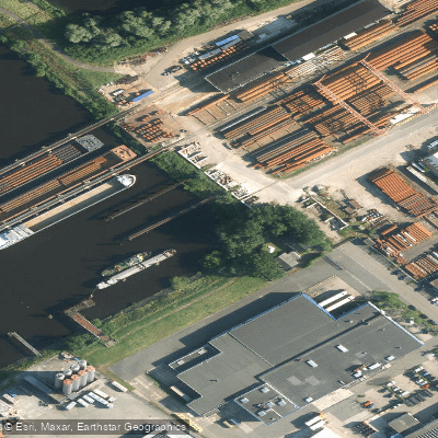
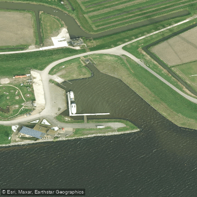
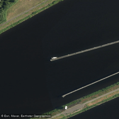
Paddle smarter with real-time insights
Whether you're en route and conditions shift or you're looking for the best spot based on current flows, we enable you to make informed decisions on the fly.







North Brabant licenses and regulations
No licenses or regulations available for North Brabant.
Find Places to Paddle

Over 400,000 Places to Paddle
Every user gets free access to launch points, boat ramps, and public property parcels.


Water and weather conditions (10 day forecast)
See the best times to paddle Volkerak and check the forecast before you go.
Willemstad, Volkerak
All Flow Stations
Paddling near Volkerak
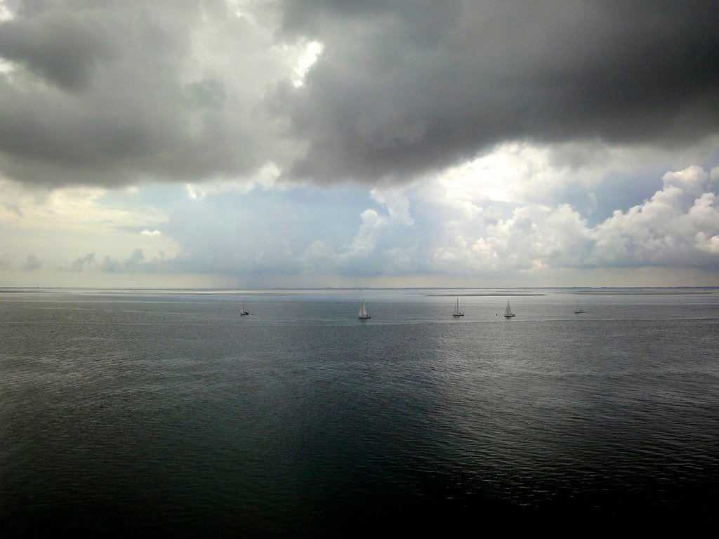
Oosterschelde
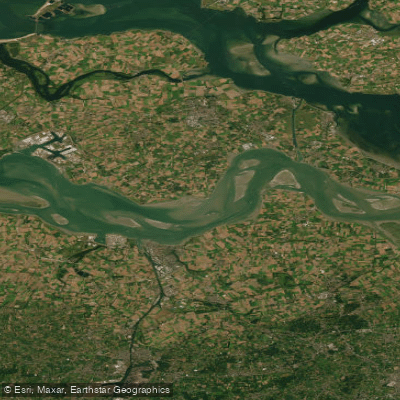
Westerschelde
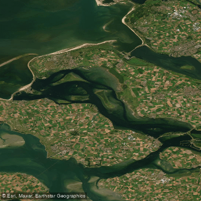
Grevelingenmeer
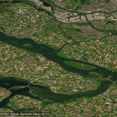
Haringvliet
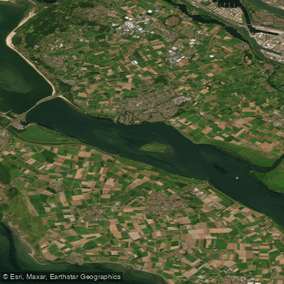
Haringvliet-west
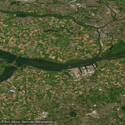
Hollandsch Diep
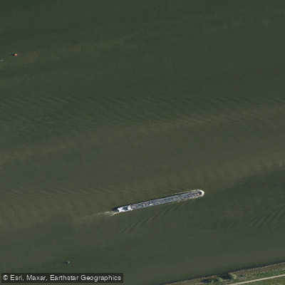
Hollandsch Diep
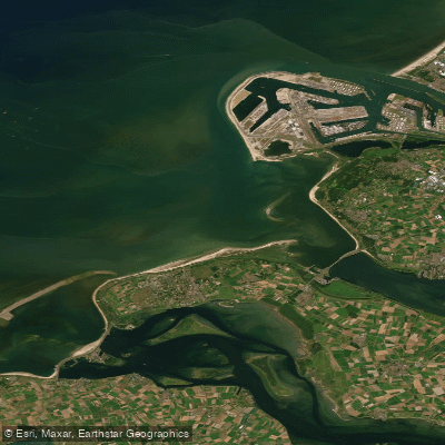
Noordelijke Deltakust (kustwater)
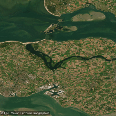
Veerse Meer
Explore North Brabant waters
Top paddling waters
No waters available right now.
Popular Cities
Loading popular cities...
Explore near Volkerak

Smarter Paddling Starts in the App.
Paddleways gives you everything you need to plan smarter, paddle better, and own every trip from first launch to takeout.