Haringvliet
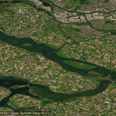
Haringvliet
- Boat Ramps
- 1
- Access Points
- 5
- Campsites
- 1
The Haringvliet is a former estuary in the Dutch province of South Holland, now functioning as a freshwater lake following its separation from the North Sea. The damming took place between 1956 and 1970 as part of the Delta Works, a response to the catastrophic 1953 floods. The water body forms part of the Rhine-Meuse delta and serves as a gateway to the Rhine river system. Since 2019, the Haringvliet locks have been regularly opened to allow migratory fish passage, which is an ongoing aspect of ecological restoration efforts in the area.
The lake offers open, expansive water with conditions that can vary considerably. Near the Haringvliet dam, the structure creates notably flat water even when winds are present from the north, making that area relatively sheltered. Elsewhere on the lake, paddlers should expect open-water conditions with wind exposure across a wide fetch. The surrounding landscape includes low-lying islands, reed beds, and estuary remnants, alongside the prominent hydraulic engineering infrastructure of the Delta Works.
One well-documented day trip runs from Hellevoetsluis to Middelharnis. The launch site in Hellevoetsluis is a small beach just west of the canal entering the town from the Haringvliet, with free adjacent parking and a paved walkway to the water. The route passes Slijkplaat, a low-lying island managed by Staatsbosbeheer and designated as a bird foraging and breeding area. Access to Slijkplaat is prohibited, and paddlers are expected to remain outside the buoy line encircling it.
The town of Hellevoetsluis, on the southern shore, is a historically significant maritime fortified town with 17th-century monuments including the Prinsehuis, the Jan Blanken dry dock (the first dry dock in the Netherlands), the corn mill De Hoop, and Fort Haerlem. Middelharnis, on the northern shore, has a historic harbor and offers a summer ferry service across the Haringvliet. The village of Stad aan 't Haringvliet is noted for its old harbor and has a sandy beach nearby. Marina facilities are available at Atlantica marina, which accommodates transient berths and provides water, electricity, showers, and parking.
The Haringvliet is accessible from Rotterdam by Water Bus, making it a practical destination for paddlers based in that city.
Water access, boat ramps & amenities
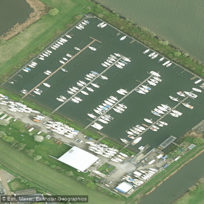
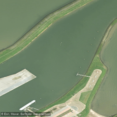
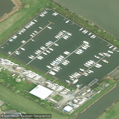
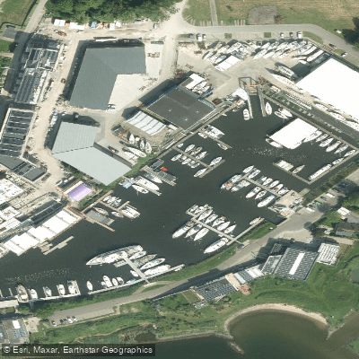
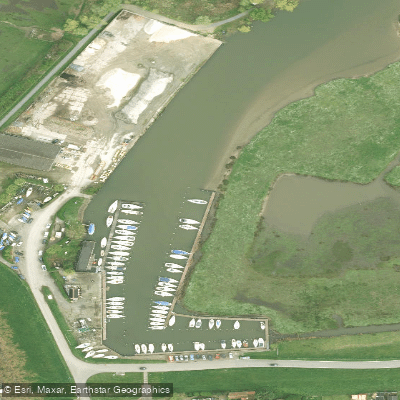
Learn how to get on Haringvliet. Uncover great paddling access points, boat ramps, and all the facilities you need for an unforgettable day on the water. Some locations shown may border or include private property. Always check property boundaries and applicable regulations before visiting. PaddleWays's Public & Private Land layer can help you plan your access with confidence.
Paddle smarter with real-time insights
Whether you're en route and conditions shift or you're looking for the best spot based on current flows, we enable you to make informed decisions on the fly.







South Holland licenses and regulations
No licenses or regulations available for South Holland.
Find Places to Paddle

Over 400,000 Places to Paddle
Every user gets free access to launch points, boat ramps, and public property parcels.


Water and weather conditions (10 day forecast)
See the best times to paddle Haringvliet and check the forecast before you go.
No forecast data available.
Paddling near Haringvliet
Nieuwe Maas
Nieuwe Waterweg
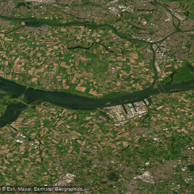
Hollandsch Diep
Hollandsch Diep
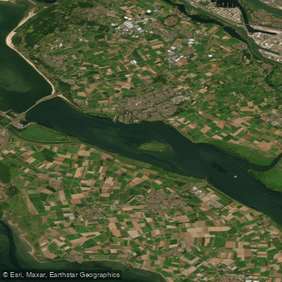
Haringvliet-west
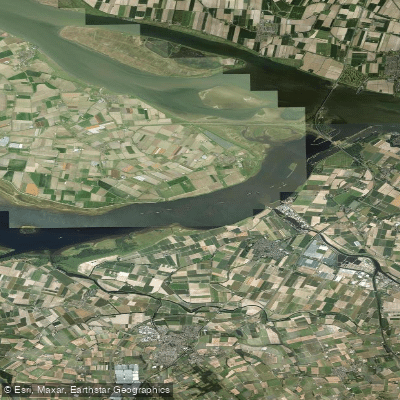
Volkerak
Hollandsch Diep
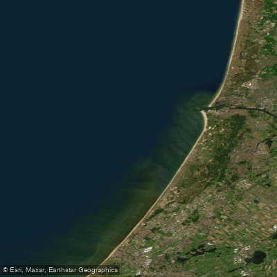
Hollandse kust (kustwater)
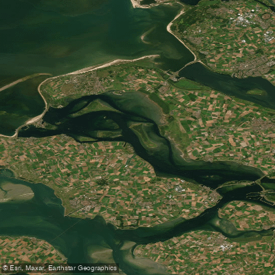
Grevelingenmeer
Explore South Holland waters
Top paddling waters
No waters available right now.
Popular Cities
Loading popular cities...
Explore near Haringvliet
Access points
Nearby waters
More in South Holland

Smarter Paddling Starts in the App.
Paddleways gives you everything you need to plan smarter, paddle better, and own every trip from first launch to takeout.