Grevelingenmeer
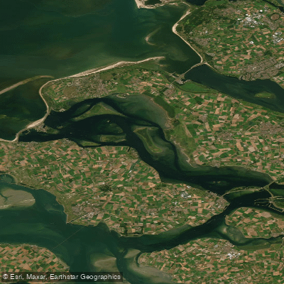
Grevelingenmeer
- Boat Ramps
- 0
- Access Points
- 17
- Campsites
- 7
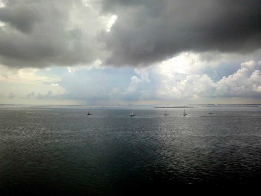
Grevelingenmeer is the largest saltwater lake in the Netherlands, formed from one of the four former estuaries in Zeeland, the most southwestern province of the country. Its saltwater character produces notably clear water compared to many Dutch inland waters, which has made it a popular destination for both divers and paddlers. The lake is dotted with a number of islands, which adds variety and navigational interest to paddling routes.
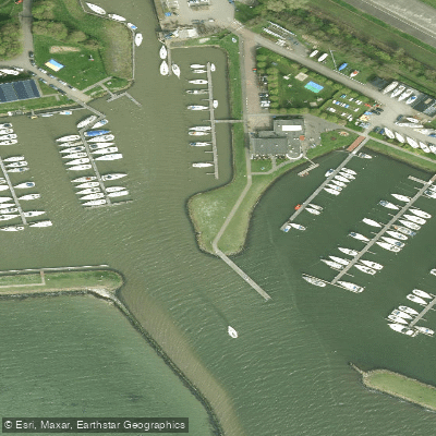
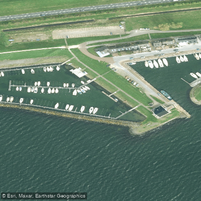
One well-established paddling route involves circumnavigating Hompelvoet island, launching from Ouddorp harbor on the north shore of the lake. The harbor offers a practical put-in point, and a small restaurant at the end of the dike provides restroom access. The route around Hompelvoet includes the option of a lunch stop at a small archipelago on the south side of the island. Landing on Hompelvoet itself is not permitted, as it is a protected bird area.
Wind is a significant factor on the Grevelingenmeer. The lake's open, exposed character means conditions can build quickly, and paddlers should be prepared for substantial wind and chop. The saltwater environment also means that spray and wind-driven water can leave a noticeable salt residue on skin and gear after a day on the water.
The lake sits on the border of Zuid-Holland and Zeeland, on the island of Goeree-Overflakkee, and is roughly 45 minutes by road from Rotterdam. The surrounding area offers cycling and walking routes, and camping facilities with boat launch access are available nearby, including at Camping de Grevelingen near Nieuwe Tonge on the southern shore. There are plans to construct 13 new islands on the inside of Brouwersdam as a vacation development, which may alter the character of that area of the lake in the future.
The combination of saltwater clarity, island geography, and open-water exposure makes Grevelingenmeer a destination suited to paddlers comfortable with big water and variable wind conditions rather than those seeking sheltered flatwater paddling.
Water access, boat ramps & amenities
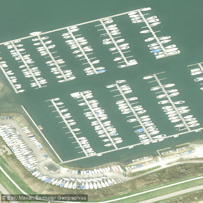
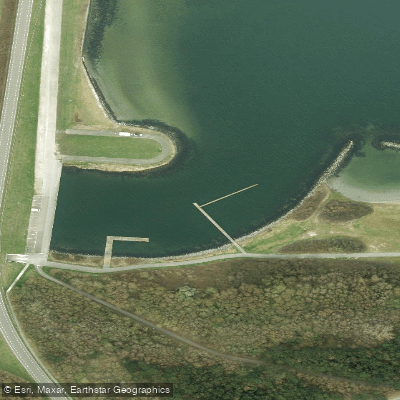
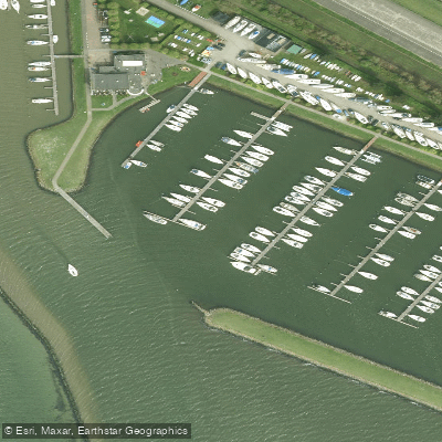
Learn how to get on Grevelingenmeer. Uncover great paddling access points, boat ramps, and all the facilities you need for an unforgettable day on the water. Some locations shown may border or include private property. Always check property boundaries and applicable regulations before visiting. PaddleWays's Public & Private Land layer can help you plan your access with confidence.
Paddle smarter with real-time insights
Whether you're en route and conditions shift or you're looking for the best spot based on current flows, we enable you to make informed decisions on the fly.







South Holland licenses and regulations
No licenses or regulations available for South Holland.
Find Places to Paddle

Over 400,000 Places to Paddle
Every user gets free access to launch points, boat ramps, and public property parcels.


Water and weather conditions (10 day forecast)
See the best times to paddle Grevelingenmeer and check the forecast before you go.
No forecast data available.
Paddling near Grevelingenmeer
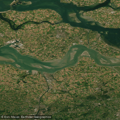
Oosterschelde
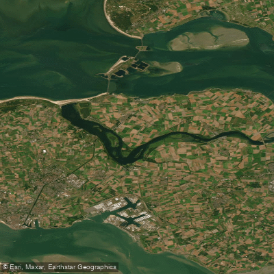
Westerschelde
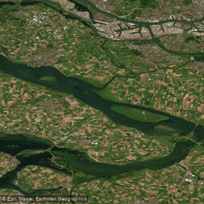
Veerse Meer
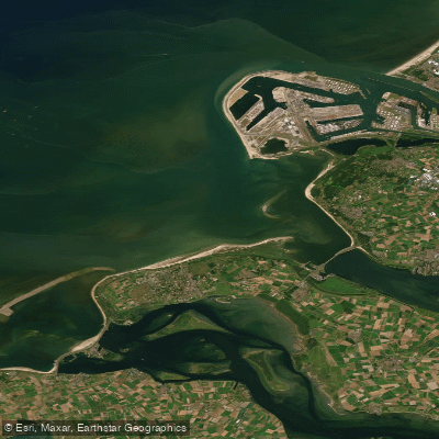
Haringvliet
Noordelijke Deltakust (kustwater)
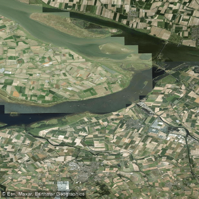
Volkerak
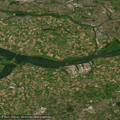
Hollandsch Diep
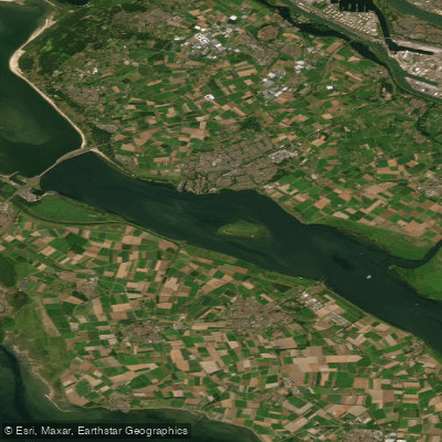
Haringvliet-west
Hollandsch Diep
Explore South Holland waters
Top paddling waters
No waters available right now.
Popular Cities
Loading popular cities...
Explore near Grevelingenmeer
Access points
Nearby waters
More in South Holland

Smarter Paddling Starts in the App.
Paddleways gives you everything you need to plan smarter, paddle better, and own every trip from first launch to takeout.