Oosterschelde
Oosterschelde
- Boat Ramps
- 1
- Access Points
- 25
- Campsites
- 13
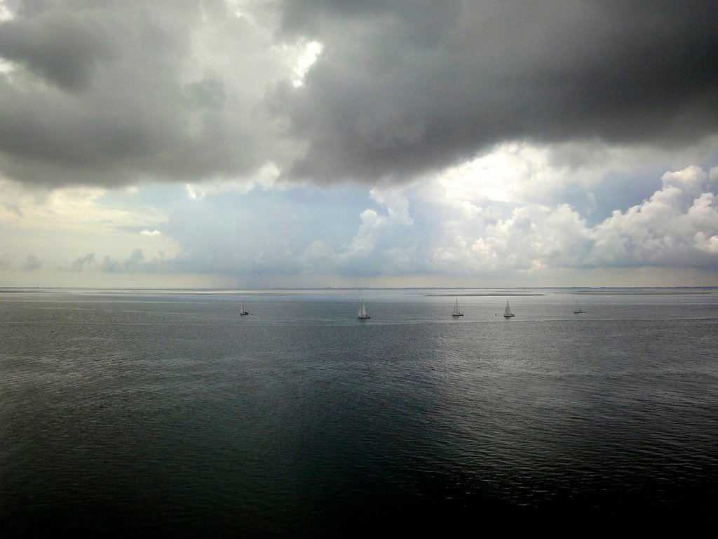
The Oosterschelde (Eastern Scheldt) is a large tidal estuary in the Netherlands, stretching up to 8 km (5 miles) wide at its eastern end. It is a genuine open-water sea kayaking environment, shaped by significant tidal forces that paddlers must plan around carefully. The estuary is wide enough that navigating by buoy-to-buoy is a practical approach, particularly at the eastern end where the far shore may not be clearly visible.
Tides play a central role in trip planning here. The tidal range is substantial — water levels can rise by roughly half a meter or more during a flood tide — and paddlers typically time their launches to catch the tide in their favor. At low water, channels and mudflats are exposed, while high water covers the channel edges entirely and opens up broader routing options. Working with the tidal flow rather than against it is essential for managing distance and effort on longer paddles.
Sint-Maartensdijk is one documented launch point on the eastern Oosterschelde, with routes heading out across open water and returning via different lines to take advantage of tidal timing. The area around Strijenham offers a stopping point along the way. The estuary is also home to the Netherlands' only anchovy fishery, known as the Weervisserij, which can be passed on the water. Elsewhere on the Oosterschelde, oyster reefs are a notable feature, and the Oosterscheldekering — the large storm surge barrier at the North Sea end — marks the western boundary of the estuary.
The surrounding landscape is characteristically Dutch: grassy dikes separating low farmland from salt marshes, with marsh channels cutting through the intertidal zone. Wind turbines are visible from the water in places. On calm days the water can be completely flat and glassy, making for effortless paddling, though conditions on such a wide, exposed estuary can change. The salt marshes support birdlife and the tidal flats are ecologically rich.
Day paddles in this area can cover significant distances; one documented route from Sint-Maartensdijk ran longer than planned, reaching well over 20 km. Paddlers should account for tidal timing, the exposed nature of the crossing, and the potential for long distances when planning trips on the eastern Oosterschelde.
Water access, boat ramps & amenities
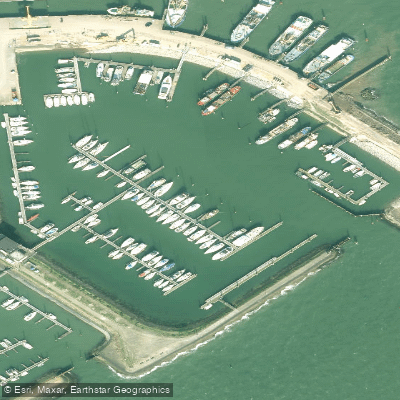
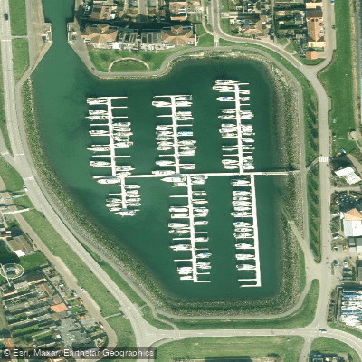
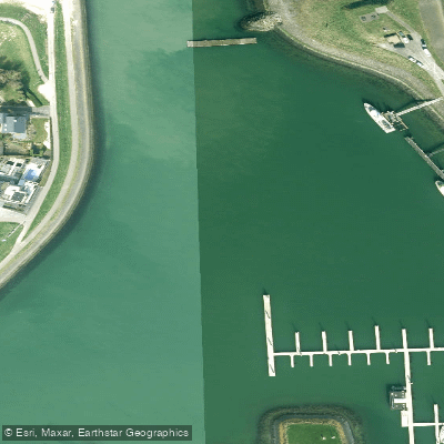
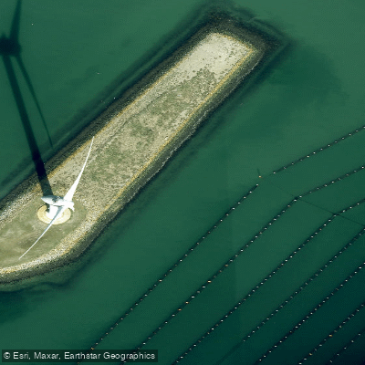
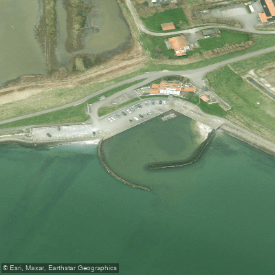
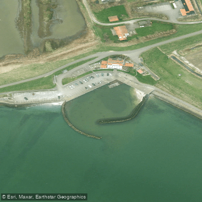
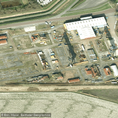
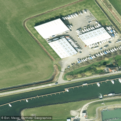
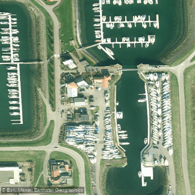
Learn how to get on Oosterschelde. Uncover great paddling access points, boat ramps, and all the facilities you need for an unforgettable day on the water. Some locations shown may border or include private property. Always check property boundaries and applicable regulations before visiting. PaddleWays's Public & Private Land layer can help you plan your access with confidence.
Paddle smarter with real-time insights
Whether you're en route and conditions shift or you're looking for the best spot based on current flows, we enable you to make informed decisions on the fly.







Zeeland licenses and regulations
No licenses or regulations available for Zeeland.
Find Places to Paddle

Over 400,000 Places to Paddle
Every user gets free access to launch points, boat ramps, and public property parcels.


Water and weather conditions (10 day forecast)
See the best times to paddle Oosterschelde and check the forecast before you go.
Kats Zanskreekdam
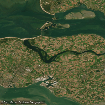
Paddling near Oosterschelde
Veerse Meer
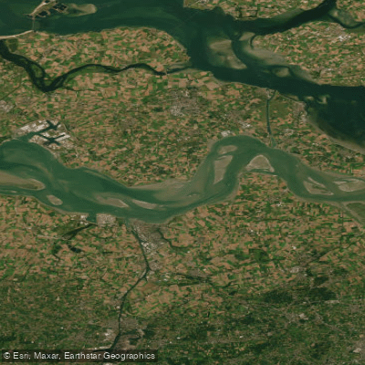
Westerschelde
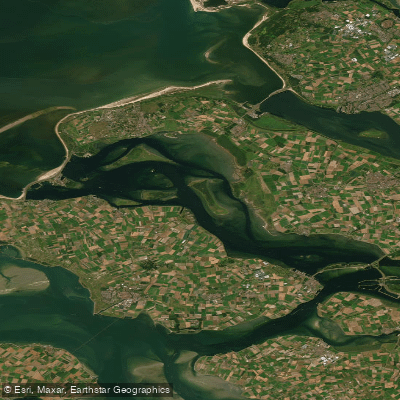
Grevelingenmeer
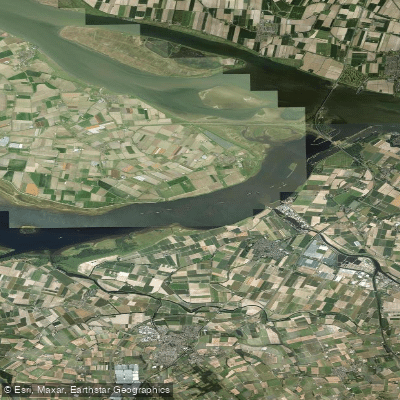
Volkerak
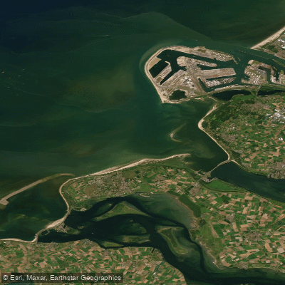
Noordelijke Deltakust (kustwater)
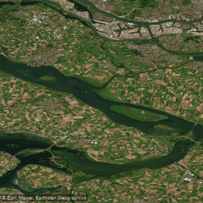
Haringvliet
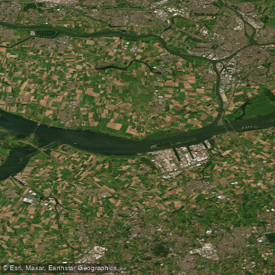
Hollandsch Diep
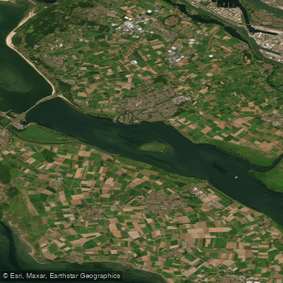
Haringvliet-west
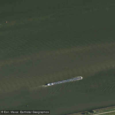
Hollandsch Diep
Explore Zeeland waters
Top paddling waters
No waters available right now.
Popular Cities
Loading popular cities...
Explore near Oosterschelde
Access points
Nearby waters
More in Zeeland

Smarter Paddling Starts in the App.
Paddleways gives you everything you need to plan smarter, paddle better, and own every trip from first launch to takeout.