Leidsevaart
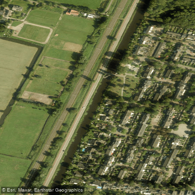
Leidsevaart
- Boat Ramps
- 0
- Access Points
- 0
- Campsites
- 0
The Leidsevaart is a historic canal running 28.4 kilometers between Leiden and Haarlem in the Netherlands. Dug in 1657, it is among the oldest canals in the country and served for nearly two centuries as the primary transport corridor between these two cities, carrying passengers by trekschuit and goods by barge along a towpath on the canal's edge. The route runs northeast from Leiden, passing through or along the borders of the municipalities of Oegstgeest, Teylingen, Lisse, Noordwijkerhout, Hillegom, Bloemendaal, and Heemstede before reaching Haarlem.
The canal passes through a historically rich landscape. Wealthy Amsterdam families once built summer estates along its banks, many of which featured private side canals dug directly to the water's edge. Some of these old estate canals remain visible today, offering paddlers glimpses into the region's prosperous past, though they may be too shallow for navigation.
The canal's character reflects its origins as a working transport waterway — straight, purposeful, and lined with the remnants of a landscape shaped by centuries of use. The towpath that once served horse-drawn barges runs alongside much of the route, giving the canal a defined, corridor-like quality through the flat Dutch polder landscape.
Given the canal's length of just over 28 kilometers, it is well suited to a full day's paddle between Leiden and Haarlem, or can be broken into shorter segments by accessing intermediate points along the route in towns such as Hillegom or Lisse. The original toll bridge locations along the canal correspond roughly to later railway stops, which may offer practical reference points for planning access or egress.
Water access, boat ramps & amenities
Learn how to get on Leidsevaart. Uncover great paddling access points, boat ramps, and all the facilities you need for an unforgettable day on the water. Some locations shown may border or include private property. Always check property boundaries and applicable regulations before visiting. PaddleWays's Public & Private Land layer can help you plan your access with confidence.
Paddle smarter with real-time insights
Whether you're en route and conditions shift or you're looking for the best spot based on current flows, we enable you to make informed decisions on the fly.







North Holland licenses and regulations
No licenses or regulations available for North Holland.
Find Places to Paddle

Over 400,000 Places to Paddle
Every user gets free access to launch points, boat ramps, and public property parcels.


Water and weather conditions (10 day forecast)
See the best times to paddle Leidsevaart and check the forecast before you go.
No forecast data available.
Paddling near Leidsevaart
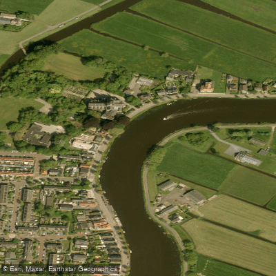
Amstel
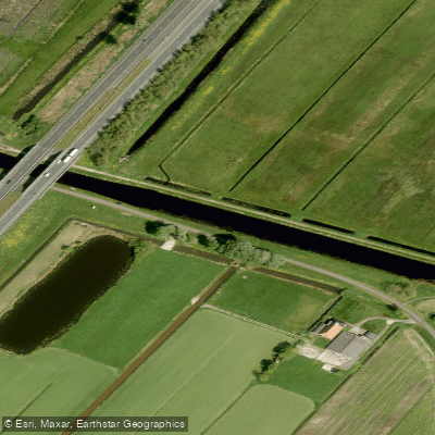
Nieuwe Vaart
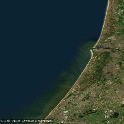
Hollandse kust (kustwater)
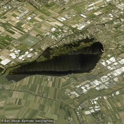
Westeinderplassen
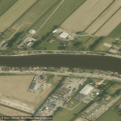
Oude Rijn
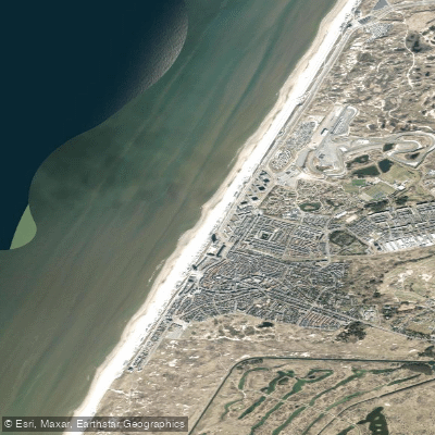
Strand Zandvoort
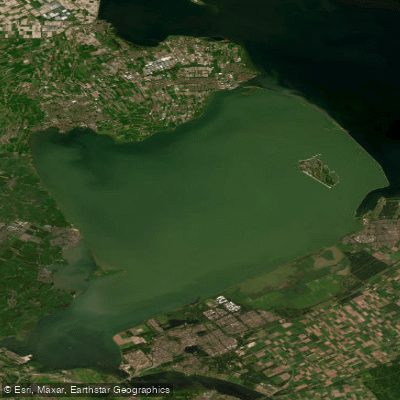
Markermeer
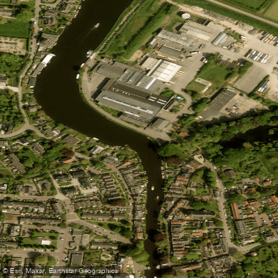
Vecht
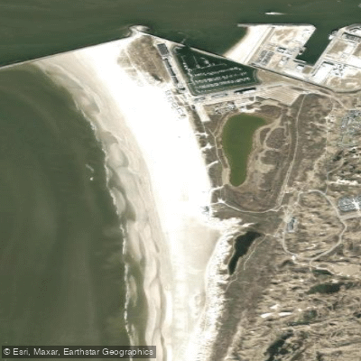
Kennemerstrand
Explore North Holland waters
Top paddling waters
No waters available right now.
Popular Cities
Loading popular cities...
Explore near Leidsevaart

Smarter Paddling Starts in the App.
Paddleways gives you everything you need to plan smarter, paddle better, and own every trip from first launch to takeout.