Wetering
Wetering
- Boat Ramps
- 0
- Access Points
- 0
- Campsites
- 3
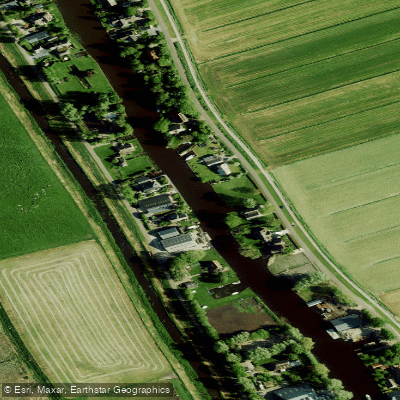
The Wetering in Overijssel is not a single, defined river but rather a name associated with a specific area within the Weerribben-Wieden National Park, a vast lowland peat bog characterized by a network of lakes, reedbeds, and narrow waterways known as "ribben." The paddling experience here is defined by this unique, flat wetland landscape. A key area is Wetering Oost, a polder where a large portion is flooded year-round, creating a shallow lake. This area offers exceptional wildlife viewing, particularly for birdwatchers. From the Twitterhut bird hide, paddlers can observe a variety of species including Purple Heron, Eurasian Spoonbill, Little Egret, and Sand Martins that breed in a specially constructed wall. In winter, the area attracts ducks like Gadwall, Eurasian Teal, and Smew, as well as Great Egret and occasionally Great Bittern. The sounds of Savi's Warbler and Water Rail can be heard from the reeds, especially in the morning and evening. The region's aesthetic is defined by open water, extensive reed marshes, and the characteristic linear "ribben" ditches that give the Weerribben its name. The area is accessible, with parking available for cars and bicycles at the Twitterhut location. The national park is a protected area, so paddlers should check local regulations regarding water access and route restrictions. A recommended paddling route begins from Muggenbeet, crossing Lake Giethoorn within the Weerribben-Wieden to the village of Dwarsgracht, offering a tour through the characteristic watery landscape associated with Giethoorn. The terrain is extremely flat with no elevation gain, making for calm, easy paddling suitable for all skill levels, though paddlers should be mindful of staying in designated waterways within the protected park.
Water access, boat ramps & amenities
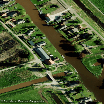
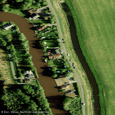
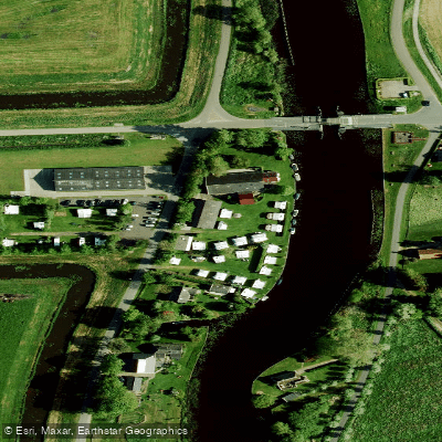
Learn how to get on Wetering. Uncover great paddling access points, boat ramps, and all the facilities you need for an unforgettable day on the water. Some locations shown may border or include private property. Always check property boundaries and applicable regulations before visiting. PaddleWays's Public & Private Land layer can help you plan your access with confidence.
Paddle smarter with real-time insights
Whether you're en route and conditions shift or you're looking for the best spot based on current flows, we enable you to make informed decisions on the fly.







Overijssel licenses and regulations
No licenses or regulations available for Overijssel.
Find Places to Paddle

Over 400,000 Places to Paddle
Every user gets free access to launch points, boat ramps, and public property parcels.


Water and weather conditions (10 day forecast)
See the best times to paddle Wetering and check the forecast before you go.
No forecast data available.
Paddling near Wetering
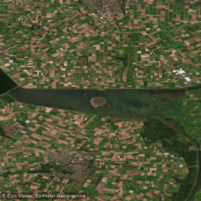
Ketelmeer
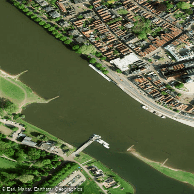
Geldersche IJssel
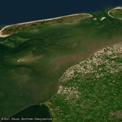
Waddenzee
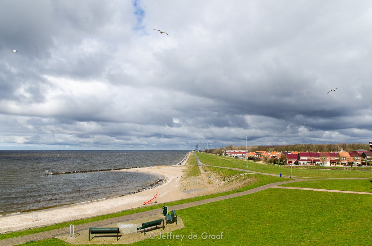
IJsselmeer
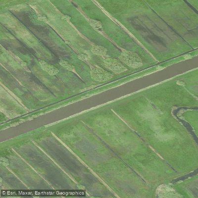
Kuinder of Tjonger
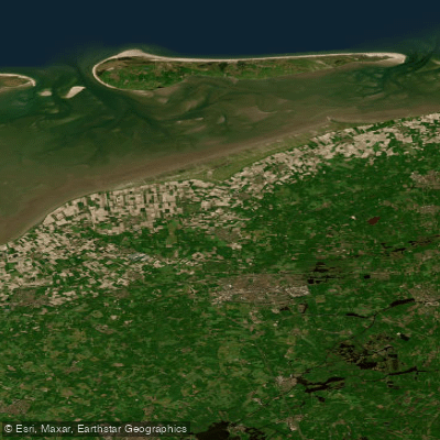
Waddenzee vastelandskust
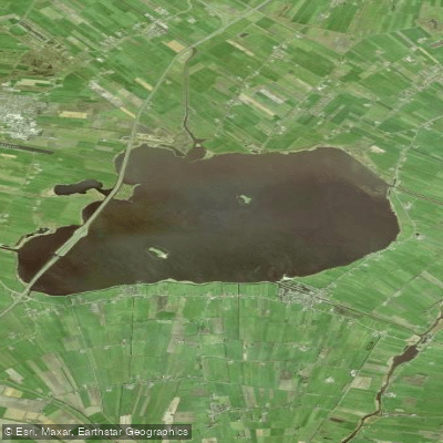
Tsjûkemar
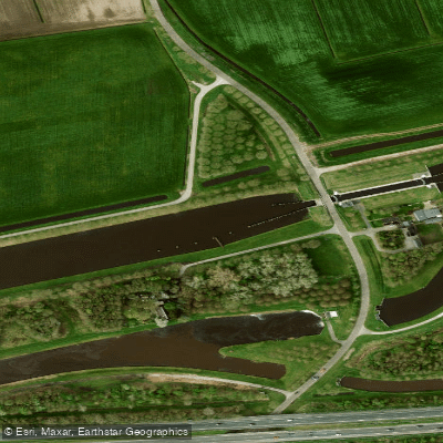
Hoogeveensche Vaart
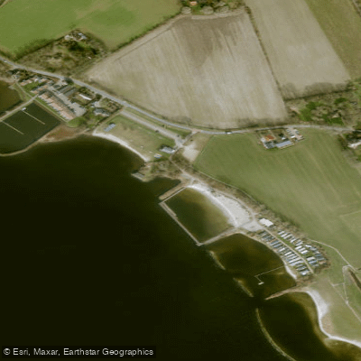
Lutjestrand.
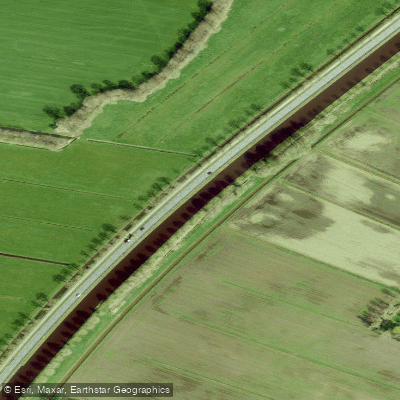
Drentsche Hoofdvaart
Explore Overijssel waters
Top paddling waters
No waters available right now.
Popular Cities
Loading popular cities...
Explore near Wetering

Smarter Paddling Starts in the App.
Paddleways gives you everything you need to plan smarter, paddle better, and own every trip from first launch to takeout.