Wilhelminahaven
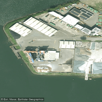
Wilhelminahaven
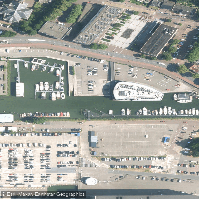
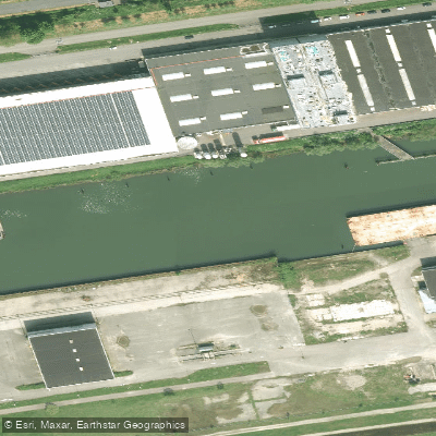
Wilhelminahaven is one of four harbor basins within the Eemshaven port complex, situated adjacent to Julianahaven in the Netherlands.
The basin is purpose-built for energy-related cargo handling, measuring approximately 1,200 meters long, 275 to 300 meters wide, and 14. 0 meters deep.
Its quays serve distinct functions: the northern quay (525 m) is dedicated to handling and converting liquefied natural gas, the southern quay (450 m) is used for unloading coal carriers, and the eastern quay handles gypsum, biomass, and fly ash.
The harbor has also served as a base for offshore wind installation vessels, supporting major North Sea wind projects.
Eemshaven as a whole is a significant energy hub, with an installed capacity of 8,000 MW and accounting for roughly one-third of the Netherlands' total energy production.
Nearby points of interest
Find excellent paddling spots, easy access to boat ramps, and all the amenities you need for a memorable day. Your adventure starts here.
Water and weather conditions (10 day forecast)
Check the forecast at Wilhelminahaven before you go paddling.
No forecast data available.
Paddling near Wilhelminahaven
Nieuwe Maas
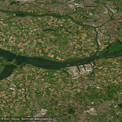
Hollandsch Diep
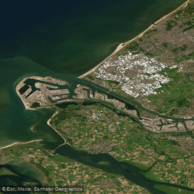
Nieuwe Waterweg
Hollandsch Diep
Nieuwe Merwede
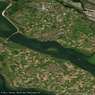
Haringvliet-west
Hollandsch Diep
Nieuwe Merwede
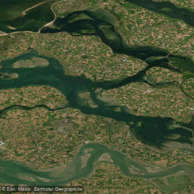
Oosterschelde
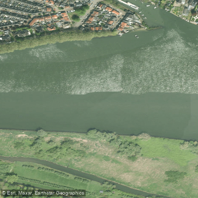
Beneden-Merwede
South Holland licenses and regulations
Explore South Holland waters
Top paddling waters
No waters available right now.
Popular Cities
Loading popular cities...
Explore near Wilhelminahaven
Nearby spots
Nearby waters
More in South Holland

Smarter Paddling Starts in the App.
Paddleways gives you everything you need to plan smarter, paddle better, and own every trip from first launch to takeout.