Gekanaliseerde Hollandsche IJssel
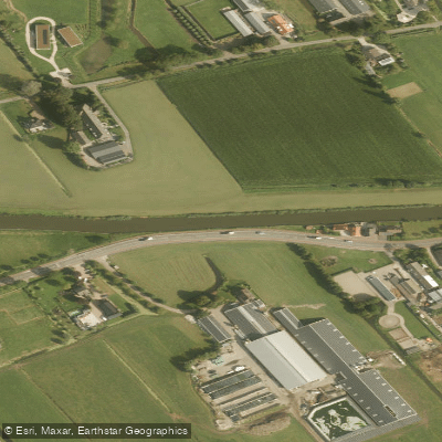
Gekanaliseerde Hollandsche IJssel
- Boat Ramps
- 0
- Access Points
- 3
- Campsites
- 4
The Gekanaliseerde Hollandsche IJssel (GHIJ) is a canalized river running between Nieuwegein and Gouda in the Netherlands, passing directly through the historic town centers of Montfoort and Oudewater. The waterway has its origins as a side branch of the Lek river, but was dammed off from the Lek in 1285 by order of a Count. It was formally canalized in 1862 with the construction of the Waaiersluis at Gouda, at which point it acquired its current name.
The GHIJ serves multiple functions: it is an important freshwater supply route to western Netherlands during dry periods, a drainage channel during normal and wet periods, and a recognized navigation route for both commercial shipping and recreational boating. Paddlers should be aware that the waterway carries active commercial and recreational vessel traffic, which is a significant safety consideration on this route.
Water management authority Hoogheemraadschap De Stichtse Rijnlanden is responsible for managing the GHIJ, its dikes, and portions of the riverbanks. Rules apply to navigation on the river and the use of mooring places along the GHIJ; paddlers planning a trip should consult the waterschap's regulations on boating and moorings before setting out.
The route between Nieuwegein and Gouda offers passage through the historic cores of Montfoort and Oudewater, giving the paddle a distinctly cultural character with urban and semi-urban stretches alongside more open polder landscapes. A dike reinforcement project is currently underway along a 5.8-kilometer section between Montfoort and Hekendorp, with construction activity expected through 2027, which may affect conditions along that stretch.
Mooring places are available along the GHIJ, and the waterschap actively works on maintaining and improving the riverbanks and revetments. The authority also pursues sustainability and biodiversity goals along the waterway, including efforts to reuse bank materials and enhance ecological value along the shores.
Water access, boat ramps & amenities
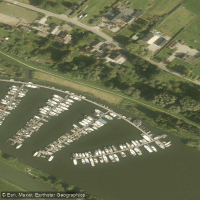
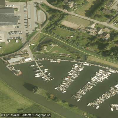
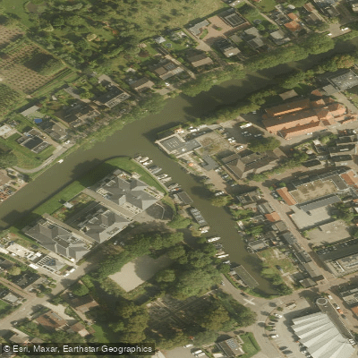
Learn how to get on Gekanaliseerde Hollandsche IJssel. Uncover great paddling access points, boat ramps, and all the facilities you need for an unforgettable day on the water. Some locations shown may border or include private property. Always check property boundaries and applicable regulations before visiting. PaddleWays's Public & Private Land layer can help you plan your access with confidence.
Paddle smarter with real-time insights
Whether you're en route and conditions shift or you're looking for the best spot based on current flows, we enable you to make informed decisions on the fly.







Utrecht licenses and regulations
No licenses or regulations available for Utrecht.
Find Places to Paddle

Over 400,000 Places to Paddle
Every user gets free access to launch points, boat ramps, and public property parcels.


Water and weather conditions (10 day forecast)
See the best times to paddle Gekanaliseerde Hollandsche IJssel and check the forecast before you go.
No forecast data available.
Paddling near Gekanaliseerde Hollandsche IJssel
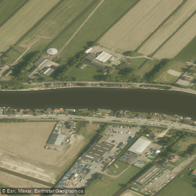
Oude Rijn
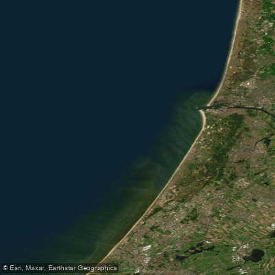
Hollandse kust (kustwater)
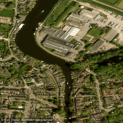
Vecht
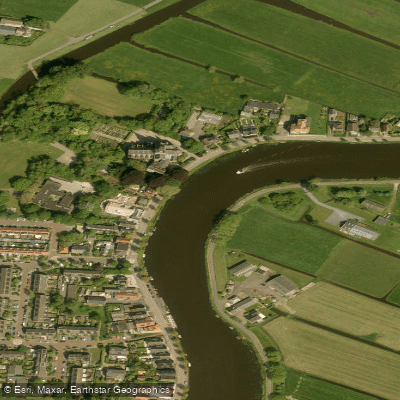
Amstel
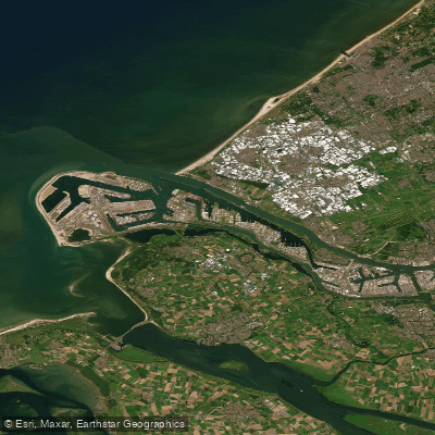
Nieuwe Waterweg
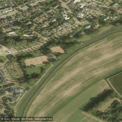
Kromme Rijn
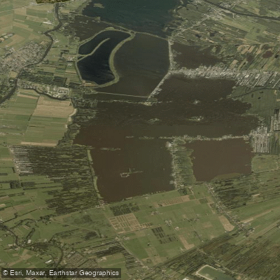
Loosdrechtse Plassen
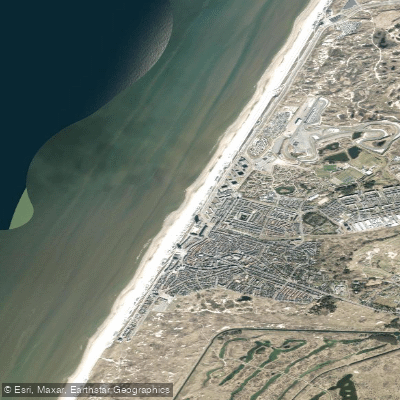
Strand Zandvoort
Linge
Explore Utrecht waters
Top paddling waters
No waters available right now.
Popular Cities
Loading popular cities...
Explore near Gekanaliseerde Hollandsche IJssel

Smarter Paddling Starts in the App.
Paddleways gives you everything you need to plan smarter, paddle better, and own every trip from first launch to takeout.