Rangitaiki River
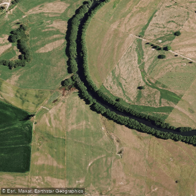
Rangitaiki River
- Boat Ramps
- 0
- Access Points
- 0
- Campsites
- 1
The Rangitaiki River is the longest river in the Bay of Plenty region of New Zealand, stretching approximately 155 km before emptying into the ocean at Thornton. It offers paddling ranging from Grade 2 scenic floats to Grade 3-4 whitewater, making it accessible to a range of skill levels.
The most technically demanding documented section runs above Murupara and is known for the rapid called Jeff's Joy. This stretch covers approximately 5.9 miles at a gradient of around 77 feet per mile in the upper portion and 67 feet per mile after a flatter mid-section, with an overall difficulty rating of Class III to IV. The section begins with a sustained warm-up rapid before delivering paddlers to Jeff's Joy itself, which is preceded by a lead-in rapid featuring cement structures on river left. The shuttle for this section is approximately 10.5 km on dirt road and takes 15 to 20 minutes one way.
Flows on this section hold well following rain, typically remaining paddleable for a week or more after precipitation. A gauge reading of 5 at the put-in corresponds to a medium-low flow of roughly 25 cumecs, while a reading of 4 is considered low and 6 produces high, pushy conditions. The river runs year-round, though flows are rain-dependent.
The Murupara area serves as a central hub for river access, with the Murupara Motorcamp on State Highway 38 used as a meeting point by commercial operators. Murupara is located approximately 20 to 25 minutes from Rotorua via State Highway 5 and then State Highway 38, or 35 to 40 minutes north of Taupo on the same route. Commercial rafting operations run both the Grade 3-4 whitewater section and a milder Grade 2 scenic trip on the river.
At its mouth near Thornton, the river's outflow creates strong rips and currents where it meets the ocean, a consideration for any paddlers approaching the lower reaches.
Water access, boat ramps & amenities
Learn how to get on Rangitaiki River. Uncover great paddling access points, boat ramps, and all the facilities you need for an unforgettable day on the water. Some locations shown may border or include private property. Always check property boundaries and applicable regulations before visiting. PaddleWays's Public & Private Land layer can help you plan your access with confidence.
Paddle smarter with real-time insights
Whether you're en route and conditions shift or you're looking for the best spot based on current flows, we enable you to make informed decisions on the fly.







Bay Of Plenty licenses and regulations
No licenses or regulations available for Bay Of Plenty.
Find Places to Paddle

Over 400,000 Places to Paddle
Every user gets free access to launch points, boat ramps, and public property parcels.


Water and weather conditions (10 day forecast)
See the best times to paddle Rangitaiki River and check the forecast before you go.
No forecast data available.
Paddling near Rangitaiki River
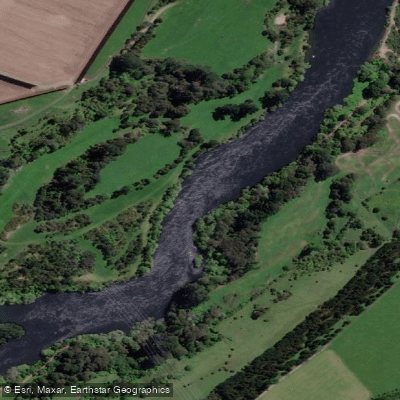
Waikato River
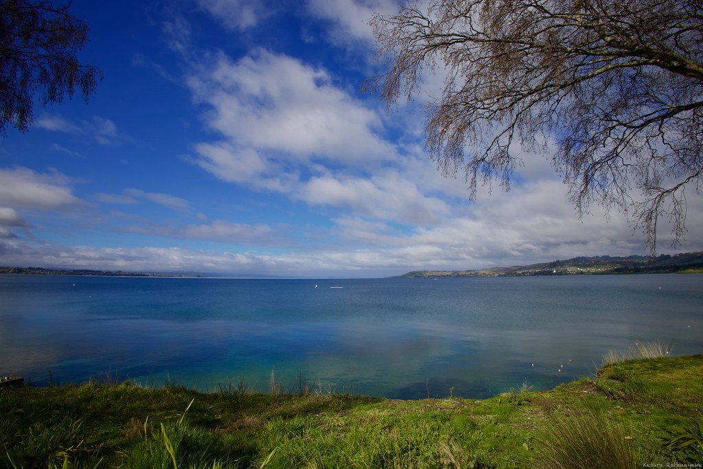
Lake Taupō
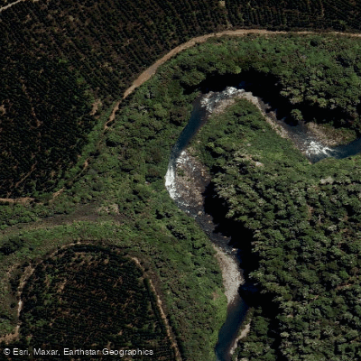
Tongariro River
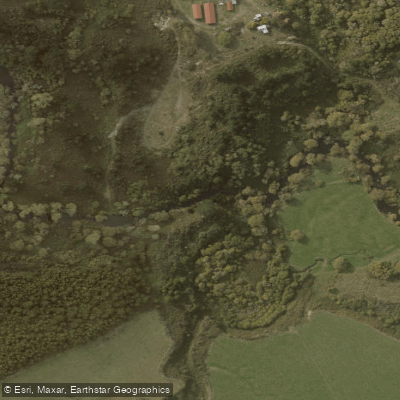
Ōngarue River
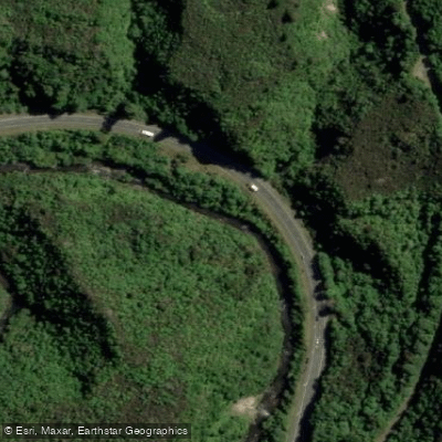
Waipunga River
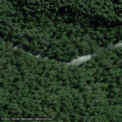
Tauranga-Taupo River
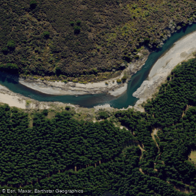
Mohaka River
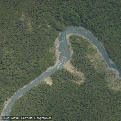
Ngaruroro River

Whanganui River
Explore Bay Of Plenty waters
Top paddling waters
No waters available right now.
Popular Cities
Loading popular cities...
Explore near Rangitaiki River
Access points
Nearby waters
More in Bay Of Plenty

Smarter Paddling Starts in the App.
Paddleways gives you everything you need to plan smarter, paddle better, and own every trip from first launch to takeout.