Tongariro River
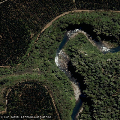
Tongariro River
- Boat Ramps
- 0
- Access Points
- 0
- Campsites
- 0
The Tongariro River rises in Tongariro National Park and flows north through Tūrangi before emptying into Lake Taupō. Fed by springs from the Tongariro National Park and Kaimanawa Ranges, the water is notably clean and clear, described as pristine and drinkable. The river is framed by native bush, volcanic hills, and rugged river boulders, giving it a distinctly central North Island volcanic plateau character. It is also widely regarded as New Zealand's most fished river, drawing anglers from around the world for brown and rainbow trout, so paddlers should be courteous to anglers and paddle on the opposite bank where possible.
Several distinct sections offer a range of difficulty. The Blue Pool section, running from below the Access 10 section down to the Turangi Bridge, is a mellow grade 2 run — wider, with less gradient than upstream sections, and very scenic. The Access 10 section, from below the Poutu intake to Blue Pool, covers roughly 13–15 kilometres of sustained, bouldery grade 3 to 3+ whitewater with more than fifty rapids in a pool-drop structure, bluff-wall moves, and trout-filled pools as run-outs. This section is considered one of the North Island's most iconic roadside whitewater trips and is suitable for developing class III paddlers as well as experienced boaters. A note of caution: following Cyclone Gabrielle, pine logs entered the second half of the Access 10 run; while many were cleared, remaining logs can shift in floods, and there are also active rockfall zones — paddlers should avoid lingering below unstable cliffs.
The Access 14 section, below the Rangipo Dam, is a steep, continuous grade 4 run that only flows on three scheduled dam-release days per year. This section is considered the premier grade 4 whitewater experience in New Zealand and is suitable only for experienced paddlers.
The put-in for the Access 10 section is below the Poutu intake, and the take-out options include Red Hut, located beside State Highway 1, or Blue Pool, reached via a gravel road approximately 2.3 kilometres from SH1 just past the Poutu Stream bridge, about 6 kilometres south of Tūrangi. Shuttles can be arranged, and there is reportedly sufficient traffic for hitching. The Tongariro Rafting Centre is located at 133 Atirau Road, Tūrangi, which serves as a departure point for commercial trips. Tūrangi itself, with a population of around 3,500, provides a practical base for paddlers, with drive times of approximately 35 minutes from Taupō and 90 minutes from Rotorua.
Water access, boat ramps & amenities
Learn how to get on Tongariro River. Uncover great paddling access points, boat ramps, and all the facilities you need for an unforgettable day on the water. Some locations shown may border or include private property. Always check property boundaries and applicable regulations before visiting. PaddleWays's Public & Private Land layer can help you plan your access with confidence.
Paddle smarter with real-time insights
Whether you're en route and conditions shift or you're looking for the best spot based on current flows, we enable you to make informed decisions on the fly.







Waikato licenses and regulations
No licenses or regulations available for Waikato.
Find Places to Paddle

Over 400,000 Places to Paddle
Every user gets free access to launch points, boat ramps, and public property parcels.


Water and weather conditions (10 day forecast)
See the best times to paddle Tongariro River and check the forecast before you go.
No forecast data available.
Paddling near Tongariro River
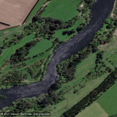
Waikato River
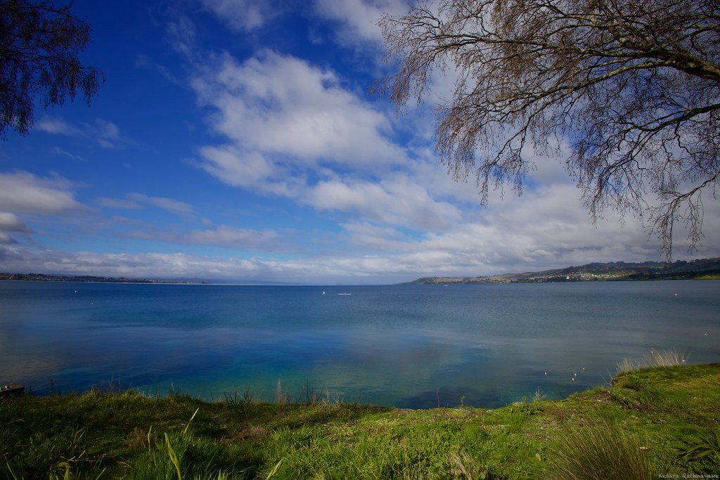
Lake Taupō
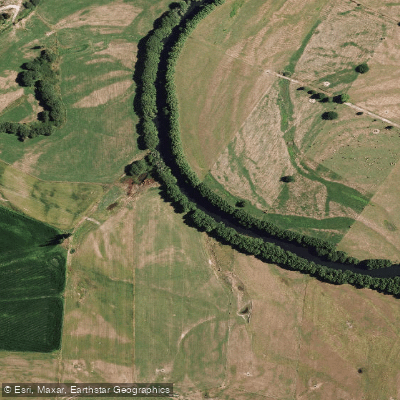
Rangitaiki River
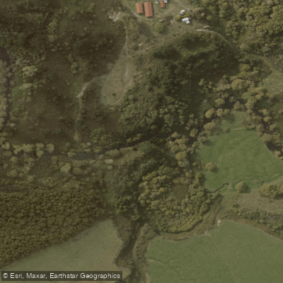
Ōngarue River
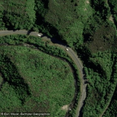
Waipunga River
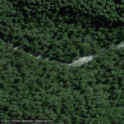
Tauranga-Taupo River
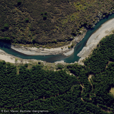
Mohaka River
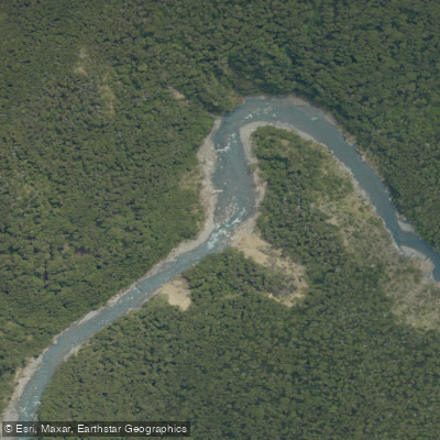
Ngaruroro River

Whanganui River
Explore Waikato waters
Top paddling waters
No waters available right now.
Popular Cities
Loading popular cities...
Explore near Tongariro River

Smarter Paddling Starts in the App.
Paddleways gives you everything you need to plan smarter, paddle better, and own every trip from first launch to takeout.