Tauranga-Taupo River
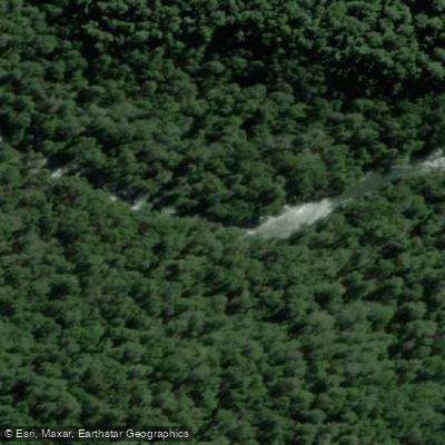
Tauranga-Taupo River
- Boat Ramps
- 0
- Access Points
- 0
- Campsites
- 0
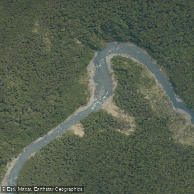
The Tauranga-Taupo River flows out of the Kaimanawa Ranges and into Lake Taupo, located approximately 10 minutes north of Turangi and less than an hour south of Taupo in the Central North Island of New Zealand. The river is rated Class IV/V, with sections reaching V+ at higher water levels, making it suitable for experienced creek boaters.
The gorge run is the most commonly paddled section. The put-in is accessed by turning off the main highway onto Kiko Rd, driving approximately 7 km, then turning left onto a forestry road. Less than 2 km further, a left turn onto an old logging road with powerlines overhead leads to a clearing; from there, paddlers bushwhack down into the gorge. The take-out coordinates are -38.912236, 175.898066. The challenging put-in access is a notable logistical consideration for trip planning.
Water levels are monitored via an online gauge. A reading of 10 cm is considered very low, 20–25 cm is a comfortable medium level, and the river can be run at 40+ cm, though at that point it becomes a very committing Class V experience. Paddlers should assess conditions accordingly before committing to the gorge.
Further upstream, there is a clean 70-foot waterfall several kilometers above the gorge. Accessing it requires a 3–4 hour hike from the parking area at the end of Kiko Rd, followed by a 7-kilometer flatwater paddle out. The trail markers are difficult to locate, and the route is easy to lose, so prior local knowledge is strongly recommended. The gorge run itself features world-class boulder garden rapids throughout a scenic canyon environment.
The lower river, below the gorge, is a low-gradient section with long, gentle pools and is primarily used by anglers. Access to the lower river is available from a gravel road just north of Kiko Rd near a Challenge service station, as well as from Tuki Street on the opposite side of the service station. The lower river is not a paddling destination.
The overall character of the gorge run is technical and committing, with the combination of a difficult approach, remote canyon terrain, and powerful boulder gardens making logistics and water level assessment critical parts of trip planning.
Water access, boat ramps & amenities
Learn how to get on Tauranga-Taupo River. Uncover great paddling access points, boat ramps, and all the facilities you need for an unforgettable day on the water. Some locations shown may border or include private property. Always check property boundaries and applicable regulations before visiting. PaddleWays's Public & Private Land layer can help you plan your access with confidence.
Paddle smarter with real-time insights
Whether you're en route and conditions shift or you're looking for the best spot based on current flows, we enable you to make informed decisions on the fly.







Waikato licenses and regulations
No licenses or regulations available for Waikato.
Find Places to Paddle

Over 400,000 Places to Paddle
Every user gets free access to launch points, boat ramps, and public property parcels.


Water and weather conditions (10 day forecast)
See the best times to paddle Tauranga-Taupo River and check the forecast before you go.
No forecast data available.
Paddling near Tauranga-Taupo River
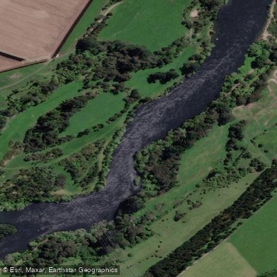
Waikato River
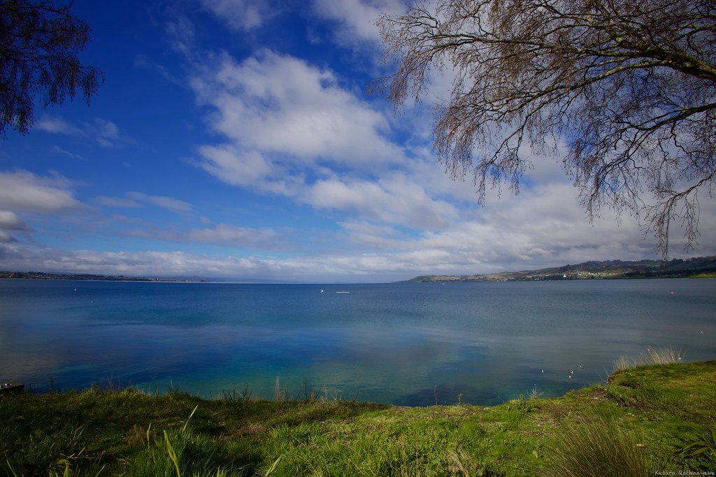
Lake Taupō
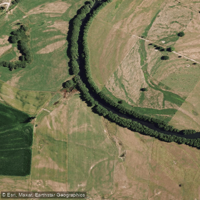
Rangitaiki River
Tongariro River
Ōngarue River
Waipunga River
Mohaka River
Ngaruroro River

Whanganui River
Explore Waikato waters
Top paddling waters
No waters available right now.
Popular Cities
Loading popular cities...
Explore near Tauranga-Taupo River

Smarter Paddling Starts in the App.
Paddleways gives you everything you need to plan smarter, paddle better, and own every trip from first launch to takeout.