Ōngarue River
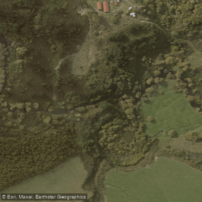
Ōngarue River
- Boat Ramps
- 0
- Access Points
- 0
- Campsites
- 0
The Ōngarue River is a major tributary of the Whanganui River in New Zealand's North Island, approximately 105 kilometres long. It originates in a mountain ridge east of the town of Ōngarue and flows generally westward before turning south to join the Whanganui River at Taumarunui. The river passes through both the Manawatū-Whanganui and Waikato regions, traversing forested areas including Pureora State Forest and Hurakia Forest before crossing rural floodplains.
In its upper reaches, the river maintains steady, slow-moving flows with an average gradient of about 0.7 metres per kilometre. As it progresses downstream, discharge increases through contributions from tributaries including the Waimiha Stream and Taringamotu River, and the character transitions to meandering patterns across rural floodplains, though interrupted by a narrow gorge that requires portage.
The river is navigable by kayaks and canoes downstream from the Waimiha Stream confluence to areas near Okahukura, where it flows over a shingle bed through narrow gorges and native bush. Most sections above this are classified as non-navigable for powered craft due to shallowness. Paddlers should be aware of several significant challenges throughout the navigable stretch: shallow depths, willow obstructions, log snags, and at least one gorge requiring portage all limit continuous navigation. Adequate seasonal flow is necessary for paddling, and the river is considered suitable mainly for experienced paddlers. Overall, the river sees relatively little paddling use.
The Ōngarue River held traditional significance for Māori communities, particularly those affiliated with Ngāti Maniapoto, as part of vital canoe routes that facilitated travel, trade, and resource use throughout the region. The main pre-European settlement of Katiaho was located on the west bank of the river. The surrounding landscape includes native bush and the remote setting of Pureora Forest, with longer hiking paths in the nearby forest available for multi-day treks.
Water access, boat ramps & amenities
Learn how to get on Ōngarue River. Uncover great paddling access points, boat ramps, and all the facilities you need for an unforgettable day on the water. Some locations shown may border or include private property. Always check property boundaries and applicable regulations before visiting. PaddleWays's Public & Private Land layer can help you plan your access with confidence.
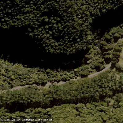
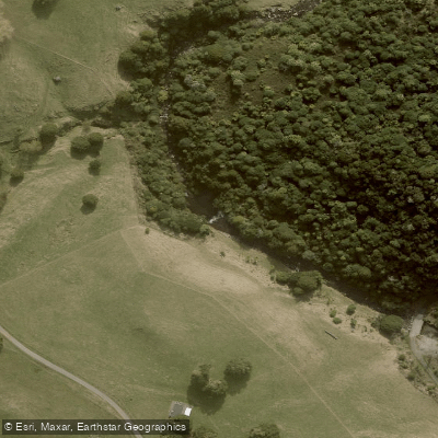
Paddle smarter with real-time insights
Whether you're en route and conditions shift or you're looking for the best spot based on current flows, we enable you to make informed decisions on the fly.







Manawatū Whanganui licenses and regulations
No licenses or regulations available for Manawatū Whanganui.
Find Places to Paddle

Over 400,000 Places to Paddle
Every user gets free access to launch points, boat ramps, and public property parcels.


Water and weather conditions (10 day forecast)
See the best times to paddle Ōngarue River and check the forecast before you go.
No forecast data available.
Paddling near Ōngarue River

Whanganui River
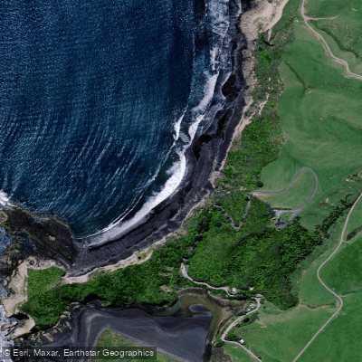
Waikawau Beach
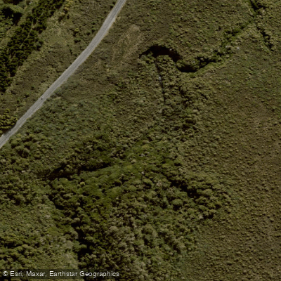
Mangatepopo Stream
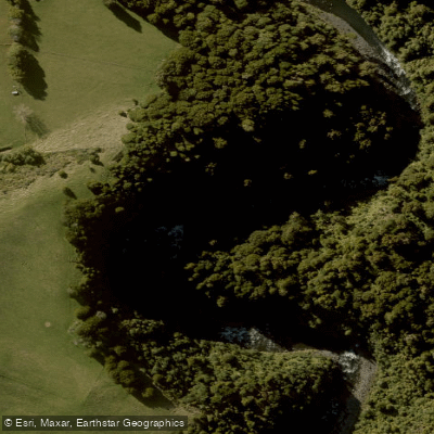
Whakapapa River
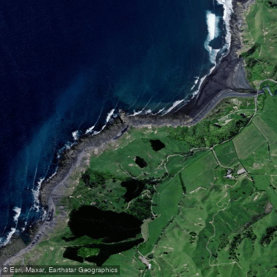
Kiritehere Beach
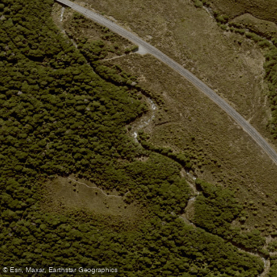
Whakapapanui Stream
Mōkau River
Lake Taupō
Manganuioteao River
Explore Manawatū Whanganui waters
Top paddling waters
No waters available right now.
Popular Cities
Loading popular cities...
Explore near Ōngarue River

Smarter Paddling Starts in the App.
Paddleways gives you everything you need to plan smarter, paddle better, and own every trip from first launch to takeout.