Hurunui River
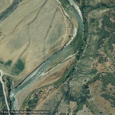
Hurunui River
- Boat Ramps
- 0
- Access Points
- 0
- Campsites
- 2
The Hurunui River is located approximately 90 kilometres north of Christchurch in North Canterbury, New Zealand. Some 150 kilometres long with a total catchment area of 2,671 square kilometres, it has two main branches originating east of the Main Divide in the Southern Alps. The north branch draws predominantly from Lake Sumner, a remote high country lake, while the south branch originates in the Southern Alps. The river is considered the most important river in Canterbury for paddlers, offering navigable flows year-round and a variety of whitewater runs catering to all ability levels.
The river is typically described in three sections. The upper reaches run from Lake Sumner down through a sub-alpine valley, passing through tight rocky gorges interspersed with open boulder gardens. Key segments include the Sisters Gorge (Grade II), the Jollie Brook section (Grade II), and the popular Top Gorge. The middle section includes Maori Gully (Grade III, approximately 2.5 kilometres), which becomes Grade IV above 100 cumecs. The lower Hurunui (Grade II, approximately 10 kilometres) offers an easy wide gorge with corner and bluff-style rapids, with a put-in at Cat Hill Station (access permission required) and take-out just below the State Highway 1 bridge.
The gauge at Mandamus is the standard reference point. Low flow is around 15 cumecs, 25 cumecs is comfortable paddling, 30–40 cumecs is considered a good standard flow, and above 100 cumecs Maori Gully grades up significantly. Flooding can occur regularly throughout the season, affecting access and safety.
Access to the upper river is via State Highway 7 through Waikari and Hawarden, then along Lake Sumner Road. The Balmoral Bridge on State Highway 7 provides access to the middle section. Notable hazards on the lower sections include the "Eddy of Doom" on the Dozy Stream to Seawards run — a large recirculating eddy below a long straight stretch where the river flows directly into a bluff; less experienced paddlers are advised to take the right-hand line to avoid it.
The upper reaches are a controlled fishery managed under special access rules. The river and surrounding area also support blue duck and braided river bird species in the headwaters and tributaries. Packrafting and bikerafting are increasingly popular on the upper river, in addition to traditional kayaking and rafting. Lake Sumner and Loch Katrine, connected by a natural canal, are suitable for sailing and boating, with Loch Katrine accessible by 4WD only.
Water access, boat ramps & amenities
Learn how to get on Hurunui River. Uncover great paddling access points, boat ramps, and all the facilities you need for an unforgettable day on the water. Some locations shown may border or include private property. Always check property boundaries and applicable regulations before visiting. PaddleWays's Public & Private Land layer can help you plan your access with confidence.
Paddle smarter with real-time insights
Whether you're en route and conditions shift or you're looking for the best spot based on current flows, we enable you to make informed decisions on the fly.







Canterbury licenses and regulations
No licenses or regulations available for Canterbury.
Find Places to Paddle

Over 400,000 Places to Paddle
Every user gets free access to launch points, boat ramps, and public property parcels.


Water and weather conditions (10 day forecast)
See the best times to paddle Hurunui River and check the forecast before you go.
Hurunui River At Sh1 Bridge
All Flow Stations
Paddling near Hurunui River
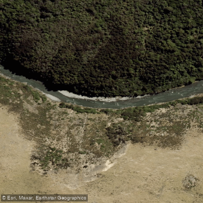
Ashley River / Rakahuri
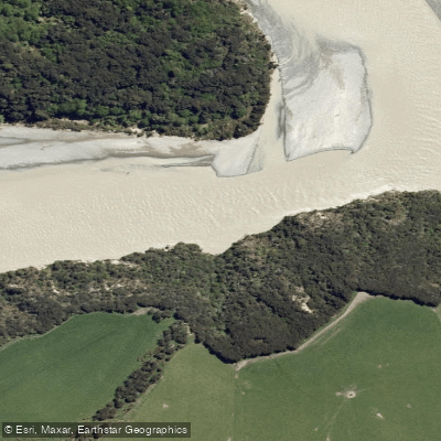
Waimakariri River
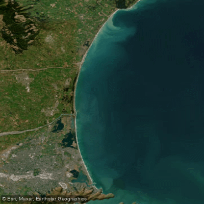
Pegasus Bay

Avon River / Ōtākaro
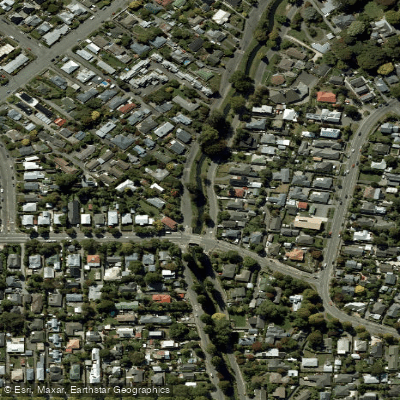
Ōpāwaho / Heathcote River
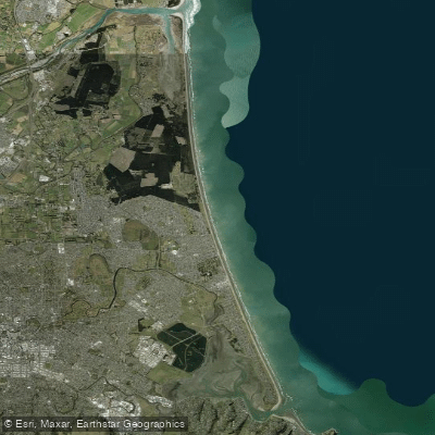
New Brighton Beach
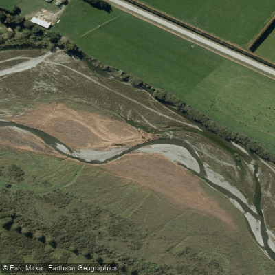
Selwyn River / Waikirikiri
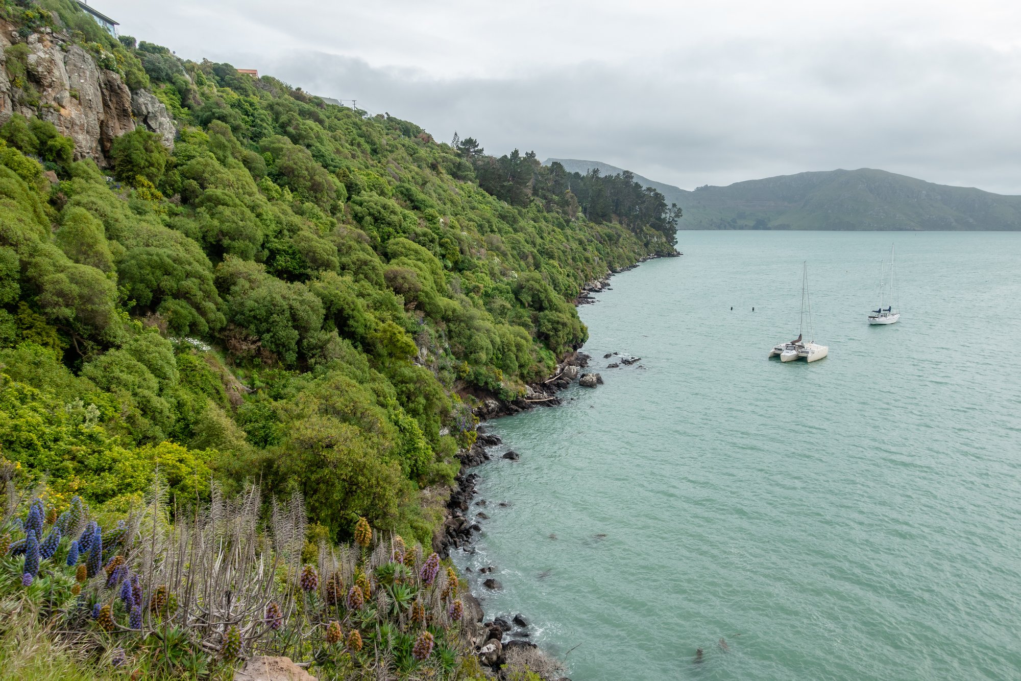
Lyttelton Harbour / Whakaraupō
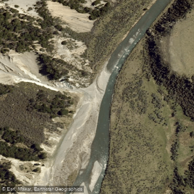
Esk River
Explore Canterbury waters
Top paddling waters
No waters available right now.
Popular Cities
Loading popular cities...
Explore near Hurunui River

Smarter Paddling Starts in the App.
Paddleways gives you everything you need to plan smarter, paddle better, and own every trip from first launch to takeout.