Ashburton River North Branch
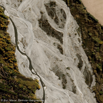
Ashburton River North Branch
- Boat Ramps
- 0
- Access Points
- 0
- Campsites
- 0
The North Branch Ashburton River is a tributary of the Ashburton River system in Canterbury, New Zealand, flowing roughly southeast for approximately 98 km before joining the South Branch about 21 km from the coast. The catchment covers 490 km² at its mouth, with headwaters in the Palmer, Taylor, Black Hill, Old Man, and Mt Hutt ranges. The upper catchment geology consists primarily of intensely folded and faulted greywacke and argillite, giving the river a classic braided Canterbury character in its lower reaches and a more confined gorge character in its upper sections.
For packrafters, the primary run begins from the confluence at Cookies Point, where the river drops into a gorge described as a compact version of the Waimakariri. The following 10 km delivers consistent wave trains, with bluff corners and occasional mid-stream boulders. There are good eddies throughout, providing scouting opportunities, and the steady nature of the rapids makes it a suitable run for building river-running confidence. The trip is a through-run requiring either a 35 km bike shuttle or two vehicles. The walk-in starts from Redcliffe Stream at the end of Double Hill Run Road in the Rakaia Valley, following the marked DOC Redcliff Track. Cookies Point Hut and Tribulation Hut provide overnight options, making this a natural two-day trip.
Flow is a critical consideration. The river requires sufficient rainfall to be paddleable, and at around 12 cumecs on the gauge, the lower Swift Creek section from Cookies Hut becomes runnable. Below that level, portages become frequent. Tributary crossings on the walk-in can become challenging when the river is running around 14 cumecs or higher following significant rainfall.
Fishing regulations apply to the North Branch and its tributaries under the Central South Island Fish & Game Region. The season for trout and salmon runs from 1 October to 30 April and 1 October to 31 March respectively, with methods restricted to artificial fly and spinner on the North Branch and its tributaries. Bag limits are two trout. Paddlers should be aware of anglers on the water, particularly during the fishing season.
The river also sees some jet boating activity, primarily on the lower sections, though flows are boatable for jet boats only 5–10% of the time due to characteristically low flows.
Water access, boat ramps & amenities
Learn how to get on Ashburton River North Branch. Uncover great paddling access points, boat ramps, and all the facilities you need for an unforgettable day on the water. Some locations shown may border or include private property. Always check property boundaries and applicable regulations before visiting. PaddleWays's Public & Private Land layer can help you plan your access with confidence.
Paddle smarter with real-time insights
Whether you're en route and conditions shift or you're looking for the best spot based on current flows, we enable you to make informed decisions on the fly.







Canterbury licenses and regulations
No licenses or regulations available for Canterbury.
Find Places to Paddle

Over 400,000 Places to Paddle
Every user gets free access to launch points, boat ramps, and public property parcels.


Water and weather conditions (10 day forecast)
See the best times to paddle Ashburton River North Branch and check the forecast before you go.
North Ashburton River At Old Weir
All Flow Stations
Paddling near Ashburton River North Branch
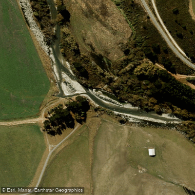
South Branch Ashburton River / Hakatere
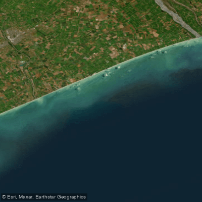
Canterbury Bight
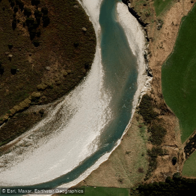
Rangitata River
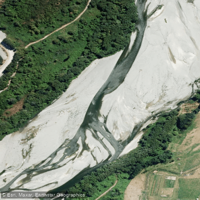
Ashburton River/Hakatere
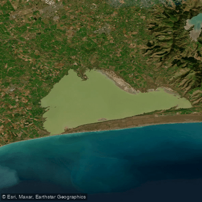
Lake Ellesmere / Te Waihora
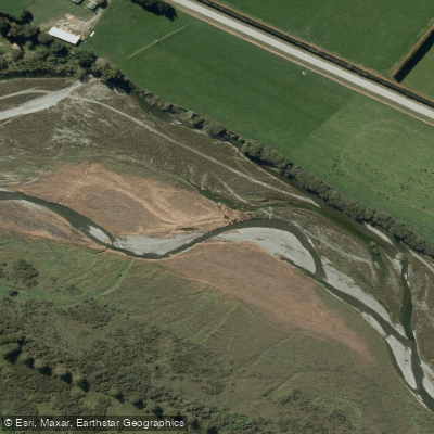
Selwyn River / Waikirikiri
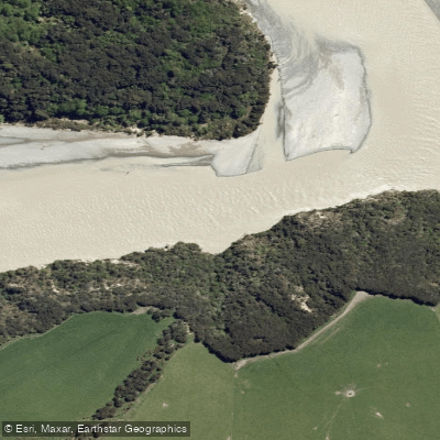
Waimakariri River
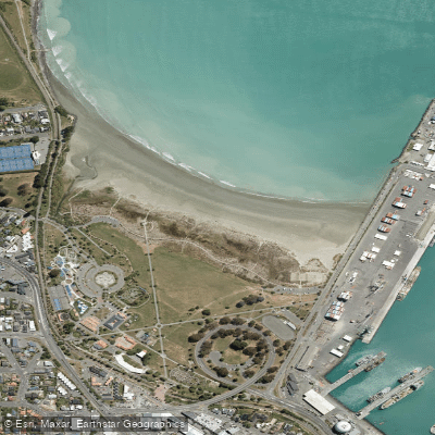
Caroline Bay Beach
Ōpāwaho / Heathcote River
Explore Canterbury waters
Top paddling waters
No waters available right now.
Popular Cities
Loading popular cities...
Explore near Ashburton River North Branch

Smarter Paddling Starts in the App.
Paddleways gives you everything you need to plan smarter, paddle better, and own every trip from first launch to takeout.