Canterbury Bight
- Saltwater
- Bay
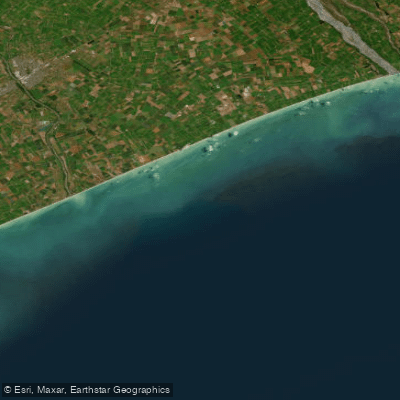
Canterbury Bight
- Saltwater
- Bay
- Sq. miles
- 470
- Boat Ramps
- 0
- Access Points
- 0
- Campsites
- 3
The Canterbury Bight is a long, open stretch of coastline on the east coast of New Zealand's South Island, running from the south side of Banks Peninsula down towards Timaru. This is a high-energy coastal environment characterized by significant exposure to open ocean swells and winds. The coastline features a mix of sandy beaches, rocky reefs, and high cliffs, particularly around the Banks Peninsula area which forms its northern boundary. Paddlers should note this is a marine environment with a southerly current that runs up the bight, influencing travel times and route planning. For a multi-day coastal journey, a kayaker has documented a route from Clifton, near Christchurch, south past Birdlings Flat and down the bight towards Timaru, indicating potential launch and take-out points at these coastal settlements. Access to some beach areas can involve long walks over private land, such as paddocks, and may require permission from landowners. The wave environment includes surf spots like Mid Shore, which breaks over a mix of coral reef and sand, with waves suitable for various skill levels but which can become ledgy with swells over four feet. The area is known for its isolation, offering a chance for solitude, but paddlers must be self-sufficient and prepared for remote conditions. Wildlife includes kororā (little blue penguins) and hoiho (yellow-eyed penguins) which nest in colonies along the coast, particularly in protected bays like Pōhatu (Flea Bay) on Banks Peninsula. The Pōhatu Marine Reserve, located on the peninsula, is a notable feature with restrictions on activities like recreational fishing; paddlers should be aware of reserve boundaries and regulations. The overall paddling experience is one for seasoned sea kayakers prepared for exposed coastal conditions, variable weather, and potentially challenging surf zones at beach entries.
Water access, boat ramps & amenities
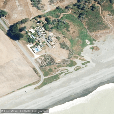
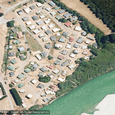
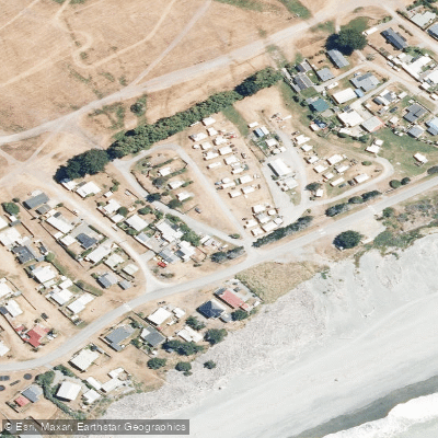
Learn how to get on Canterbury Bight. Uncover great paddling access points, boat ramps, and all the facilities you need for an unforgettable day on the water. Some locations shown may border or include private property. Always check property boundaries and applicable regulations before visiting. PaddleWays's Public & Private Land layer can help you plan your access with confidence.
Paddle smarter with real-time insights
Whether you're en route and conditions shift or you're looking for the best spot based on current flows, we enable you to make informed decisions on the fly.







Canterbury licenses and regulations
No licenses or regulations available for Canterbury.
Find Places to Paddle

Over 400,000 Places to Paddle
Every user gets free access to launch points, boat ramps, and public property parcels.


Tides, wind & water conditions (10 day forecast)
On open water, wind and tide matter as much as the weather. See the best times to paddle Canterbury Bight and check the marine forecast before you launch.
Loading tide predictions…
Paddling near Canterbury Bight
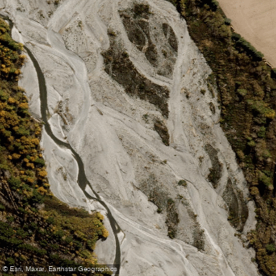
Ashburton River North Branch
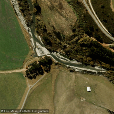
South Branch Ashburton River / Hakatere
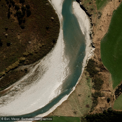
Rangitata River
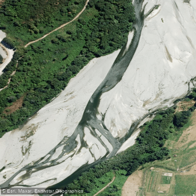
Ashburton River/Hakatere
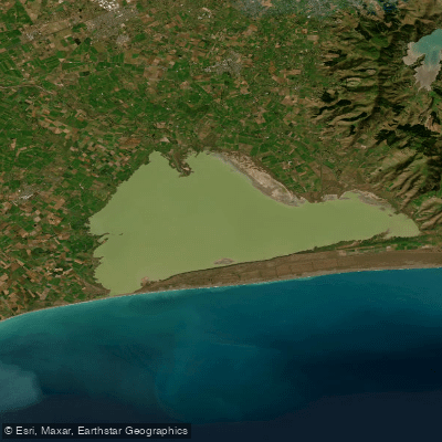
Lake Ellesmere / Te Waihora
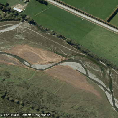
Selwyn River / Waikirikiri
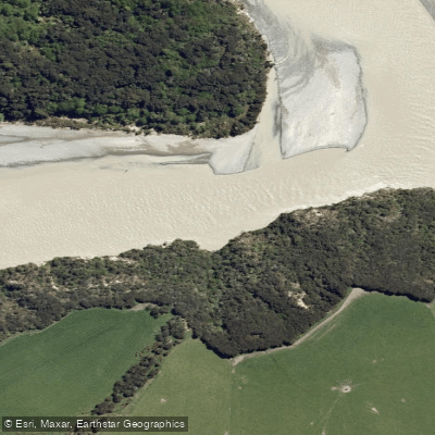
Waimakariri River
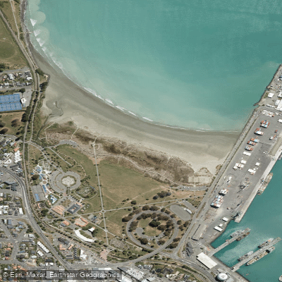
Caroline Bay Beach
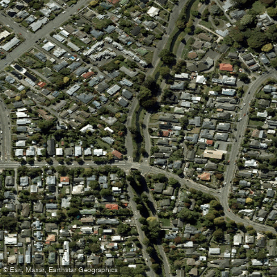
Ōpāwaho / Heathcote River
Explore Canterbury waters
Top paddling waters
No waters available right now.
Popular Cities
Loading popular cities...
Explore near Canterbury Bight
Nearby waters
More in Canterbury

Smarter Paddling Starts in the App.
Paddleways gives you everything you need to plan smarter, paddle better, and own every trip from first launch to takeout.