Waimata River
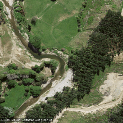
Waimata River
- Boat Ramps
- 0
- Access Points
- 0
- Campsites
- 0
The Waimatā River flows through the Gisborne region of New Zealand's North Island, running from steep pastoral and forested hill country down through the city of Gisborne, where it joins the Taraheru River to form the harbour on which the port, marina, and fishing club are situated. The river sees a range of paddle craft, including kayaks, waka ama, and informal rafts, alongside rowers and anglers.
Water quality is a significant concern for anyone paddling the Waimatā. Pastoral farming on steep, unstable terrain has caused severe erosion, and sediment loads are heavy — after rain, the river can turn to what observers describe as liquid mud. Forestry operations in the catchment have also contributed debris and logs to the river, which have been reported in the river itself, the sea, and nearby beaches. These conditions are ongoing rather than isolated events, and paddlers should factor in the likelihood of turbid water and floating debris, particularly following rainfall.
The river's winding valley provides road access through the hinterland, suggesting reasonable land-based access along much of its length, though specific put-in and take-out points are not well documented. The lower reaches near the city and harbour are the most actively used by the paddling community. Efforts are underway through various environmental initiatives to improve riparian vegetation and reduce sediment input, but the river's condition remains degraded relative to its potential.
Water access, boat ramps & amenities
Learn how to get on Waimata River. Uncover great paddling access points, boat ramps, and all the facilities you need for an unforgettable day on the water. Some locations shown may border or include private property. Always check property boundaries and applicable regulations before visiting. PaddleWays's Public & Private Land layer can help you plan your access with confidence.
Paddle smarter with real-time insights
Whether you're en route and conditions shift or you're looking for the best spot based on current flows, we enable you to make informed decisions on the fly.







Gisborne licenses and regulations
No licenses or regulations available for Gisborne.
Find Places to Paddle

Over 400,000 Places to Paddle
Every user gets free access to launch points, boat ramps, and public property parcels.


Water and weather conditions (10 day forecast)
See the best times to paddle Waimata River and check the forecast before you go.
No forecast data available.
Paddling near Waimata River
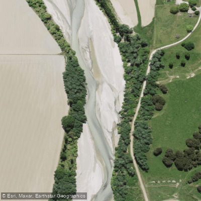
Waipaoa River
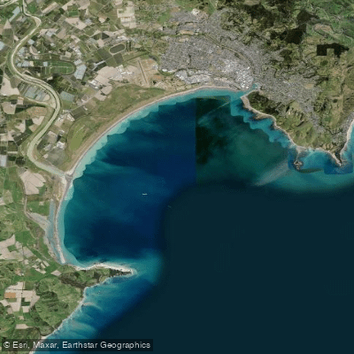
Tūranganui-a-Kiwa / Poverty Bay
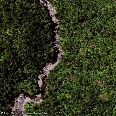
Mōtū River
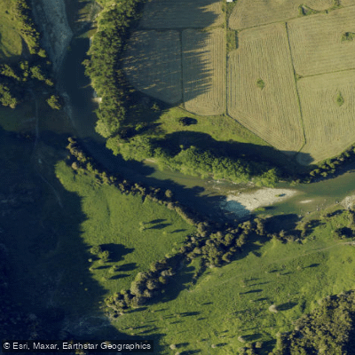
Waiau River
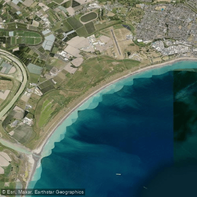
Midway Beach
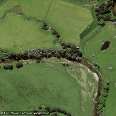
Wharekōpae River
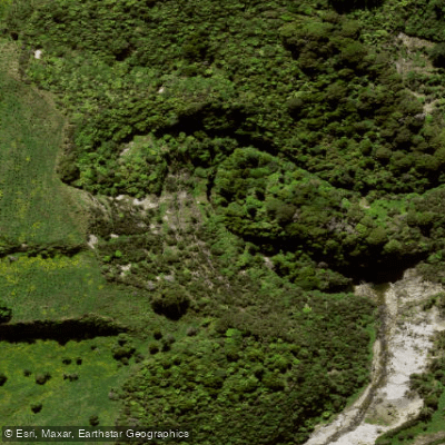
Mangarangiora Stream
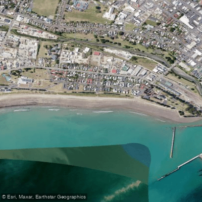
Waikanae Beach
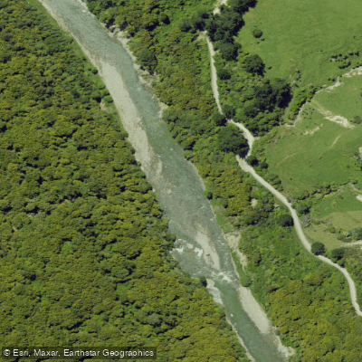
Ruakituri River
Explore Gisborne waters
Top paddling waters
No waters available right now.
Popular Cities
Loading popular cities...
Explore near Waimata River

Smarter Paddling Starts in the App.
Paddleways gives you everything you need to plan smarter, paddle better, and own every trip from first launch to takeout.