Lindis River
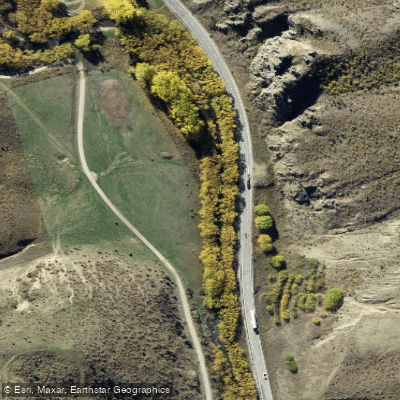
Lindis River
- Boat Ramps
- 0
- Access Points
- 0
- Campsites
- 3
The Lindis River is located in the Otago region of New Zealand's South Island and is rated at grade II+, making it suitable for paddlers with basic whitewater experience. The river flows through high country farmland with views of the surrounding ranges, including the St Bathan Range, and is lined in many sections by willow trees.
Two well-documented sections offer straightforward day trips. The first runs from the Dip Creek confluence to Black Bridge, covering 9.6 kilometres at grade I/II. Access at the upper end is via a small layby off State Highway 8, where paddlers walk through a gate and follow a vehicle track down past beehives to a small bridge over the river, using a formed and unformed legal road. The river begins with a fairly open channel before widening into braids beyond the Forest Range SH8 bridge, with more rural high country scenery. The lower access for this section is via Cluden Creek Road, where paddlers take the main north fork, cross the bridge, and find a large parking area on the true left. A picnic area at lower Goodger Flat also provides river access with ample parking just before the valley narrows again.
The second section runs from Elliotts Bridge to Cluden Creek Road, covering 7.4 kilometres at grade I/II. Access at Elliotts Bridge is immediately upstream on the true right, with limited parking just off Old Faithful Road. This stretch widens further with more farmland views and tree-lined banks.
Camping is possible along the Lindis Downs Conservation Area on the true right bank, and paddlers should use GPS to confirm they are within the public land boundary. Due to the extent of farming throughout the catchment, drinking water from the river should be boiled, filtered, or chemically treated. Carrying town water is noted as a practical alternative given the minimal portaging required on these sections.
The river is used for kayaking and packrafting, and flow data is monitored at the Lindis Peak gauge station, which paddlers can consult when planning trips.
Water access, boat ramps & amenities
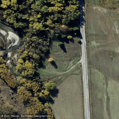
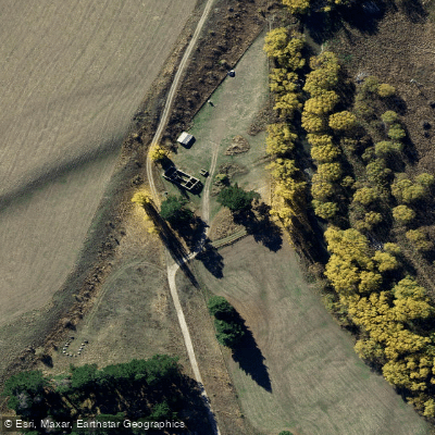
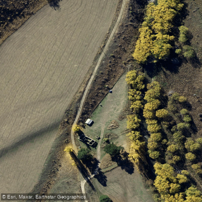
Learn how to get on Lindis River. Uncover great paddling access points, boat ramps, and all the facilities you need for an unforgettable day on the water. Some locations shown may border or include private property. Always check property boundaries and applicable regulations before visiting. PaddleWays's Public & Private Land layer can help you plan your access with confidence.
Paddle smarter with real-time insights
Whether you're en route and conditions shift or you're looking for the best spot based on current flows, we enable you to make informed decisions on the fly.







Otago licenses and regulations
No licenses or regulations available for Otago.
Find Places to Paddle

Over 400,000 Places to Paddle
Every user gets free access to launch points, boat ramps, and public property parcels.


Water and weather conditions (10 day forecast)
See the best times to paddle Lindis River and check the forecast before you go.
No forecast data available.
Paddling near Lindis River
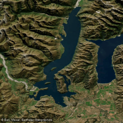
Lake Wānaka
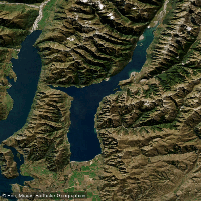
Lake Hāwea
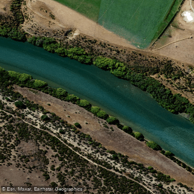
Clutha River / Mata-Au
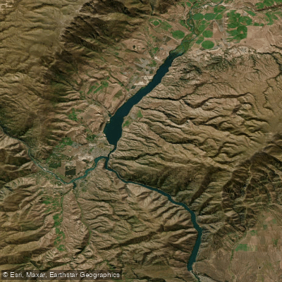
Lake Dunstan
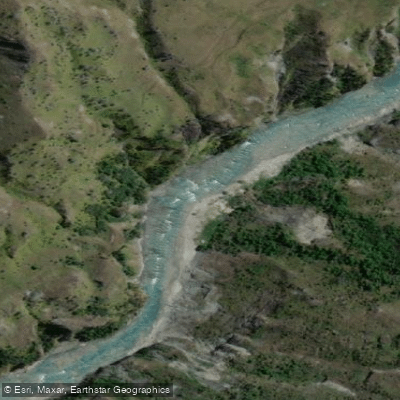
Shotover River

Clutha River / Mata-Au
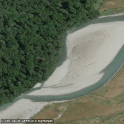
Makarora River
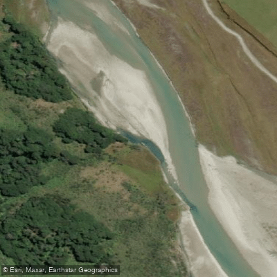
Rees River
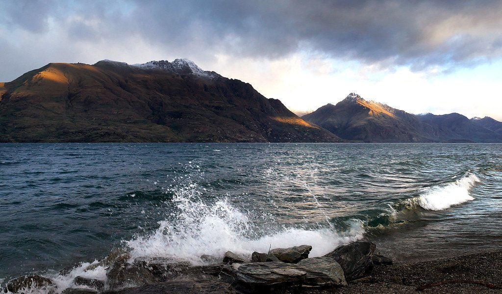
Lake Wakatipu
Explore Otago waters
Top paddling waters
No waters available right now.
Popular Cities
Loading popular cities...
Explore near Lindis River

Smarter Paddling Starts in the App.
Paddleways gives you everything you need to plan smarter, paddle better, and own every trip from first launch to takeout.