Lake Dunstan
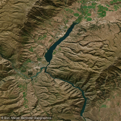
Lake Dunstan
- Boat Ramps
- 0
- Access Points
- 0
- Campsites
- 10
Lake Dunstan is a reservoir in Central Otago, New Zealand, situated alongside the township of Cromwell and positioned between Alexandra, Queenstown, and Wanaka. The lake has multiple distinct arms — the Clutha Arm, the Dunstan Arm, and the Kawarau Arm — giving it a branching, elongated shape. The Clutha Arm alone stretches approximately 12–14 km from Cromwell toward the lake's upper reaches, and the full water body is substantial enough that wind conditions can make paddling extremely difficult or even impractical in certain directions.
Wind is the primary hazard on Lake Dunstan. Katabatic winds in the evenings can be strong enough to push paddlers along at speed, but a headwind in the opposite direction can make forward progress nearly impossible on flat water. Paddlers should plan routes with wind direction firmly in mind, as conditions can shift the experience from straightforward to unmanageable. The Kawarau Arm has been affected by significant Lagarosiphon (aquatic weed) growth, which can pose hazards for swimmers and boaters and has at times made that arm difficult to navigate by boat.
Numerous access points and boat ramps are distributed around the lake, including facilities at Dairy Creek, Champagne Gully, Bannockburn Inlet, Old Cromwell, McNulty Inlet, Lowburn Harbour, Pisa Moorings, and Bendigo. The eastern shoreline of the Dunstan and Clutha Arms is accessible from SH8, while the Clutha Arm can also be reached via SH6 and through Pisa Moorings, Smiths Way, and Amisfield. Several rest areas with barbecues and picnic tables are provided around the lake.
The lake supports a range of recreational activities including kayaking, sailing, fishing, and swimming. It sits within a visually striking Central Otago landscape and forms part of a broader recreational corridor connecting Cromwell and Clyde. The Lake Dunstan Cycle Trail runs along the lakeshore, so paddlers may encounter trail users at various access points. Water quality concerns include Lagarosiphon weed, swimmer's itch risk in affected areas, and unpleasant odours associated with weed accumulation, particularly in the Kawarau Arm. Management of these weeds is ongoing. Multiple governing bodies share responsibility for the lake, including the Central Otago District Council, Otago Regional Council, Land Information New Zealand, and Contact Energy.
Water access, boat ramps & amenities
Learn how to get on Lake Dunstan. Uncover great paddling access points, boat ramps, and all the facilities you need for an unforgettable day on the water. Some locations shown may border or include private property. Always check property boundaries and applicable regulations before visiting. PaddleWays's Public & Private Land layer can help you plan your access with confidence.
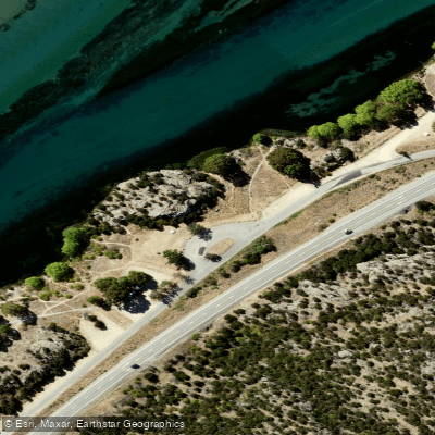
Bendigo Freedom Camping Area
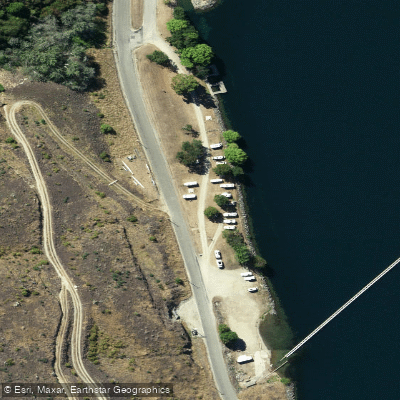
Burton Creek Recreation Reserve (Freedom camping)
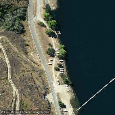
Burton Creek Recreation Reserve (Freedom camping)
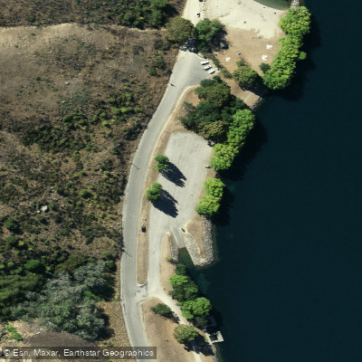
Burton Creek Recreation Reserve (Freedom camping)
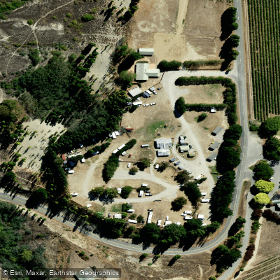
Cairnmuir Motor Camp
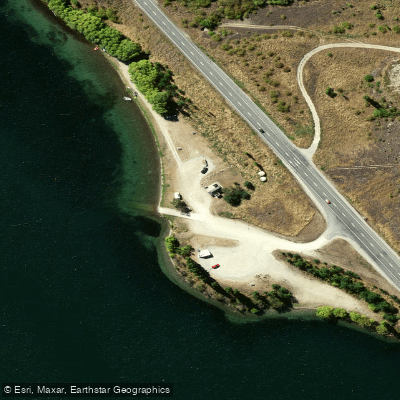
Champagne Gully
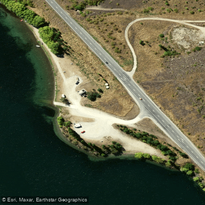
Champagne Gully Freedom Camping
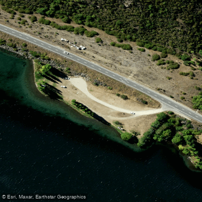
Jacksons Inlet Freedom Camping
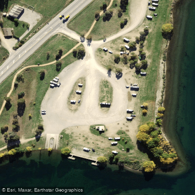
Lowburn Harbour
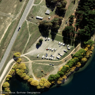
Lowburn NZMCA Park
Paddle smarter with real-time insights
Whether you're en route and conditions shift or you're looking for the best spot based on current flows, we enable you to make informed decisions on the fly.







Otago licenses and regulations
No licenses or regulations available for Otago.
Find Places to Paddle

Over 400,000 Places to Paddle
Every user gets free access to launch points, boat ramps, and public property parcels.


Water and weather conditions (10 day forecast)
See the best times to paddle Lake Dunstan and check the forecast before you go.
No forecast data available.
Paddling near Lake Dunstan

Clutha River / Mata-Au
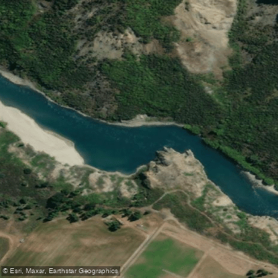
Kawarau River
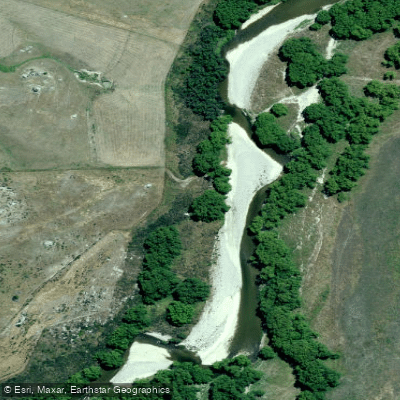
Manuherikia River
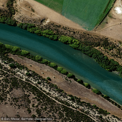
Clutha River / Mata-Au
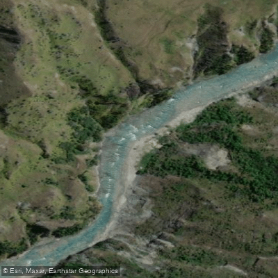
Shotover River
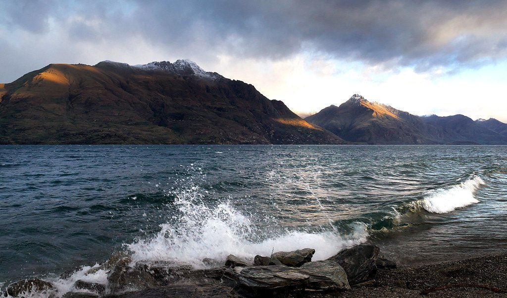
Lake Wakatipu
Lindis River
Lake Wānaka
Lake Hāwea
Explore Otago waters
Top paddling waters
No waters available right now.
Popular Cities
Loading popular cities...
Explore near Lake Dunstan
Access points
- Bendigo Freedom Camping Area
- Burton Creek Recreation Reserve (Freedom camping)
- Burton Creek Recreation Reserve (Freedom camping)
- Burton Creek Recreation Reserve (Freedom camping)
- Cairnmuir Motor Camp
- Champagne Gully
- Champagne Gully Freedom Camping
- Jacksons Inlet Freedom Camping
- Lowburn Harbour
- Lowburn NZMCA Park
Nearby waters
More in Otago

Smarter Paddling Starts in the App.
Paddleways gives you everything you need to plan smarter, paddle better, and own every trip from first launch to takeout.