Shotover River
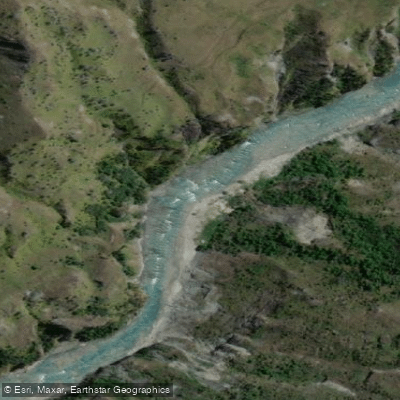
Shotover River
- Boat Ramps
- 0
- Access Points
- 0
- Campsites
- 2
The Shotover River flows from Lochnagar in the Southern Alps down through Skippers Canyon before ultimately draining into Lake Wakatipu near Queenstown. The river is visually striking, characterized by bright turquoise water set against deep, steep schist canyon walls. Gold mining relics are scattered along the riverbanks, reflecting the river's history as one of the most productive gold-mining rivers in the world during its peak boom.
The river offers distinct paddling sections with varying character. The upper and middle sections through Skippers Canyon run at Grade 2–3 and are suitable for beginner to intermediate paddlers at low to moderate summer flows, with a recommended flow range of 10–30 cumecs on the Peats Hut gauge. The upper section features continuous wave trains formed by shelf-like rocks, while the middle section has slightly more flat water punctuated by larger rapids where the river constricts. The gorge section below is considerably more committing, with Class IV rapids and flows ranging from around 5 cumecs on the low end to well over 100 cumecs at high water. Once inside the canyon, there is no cell service and no easy exit.
The primary put-in for the gorge section is accessed via Skippers Road, a narrow, one-lane unsealed road requiring a capable vehicle. The take-out is at Arthur's Point, approximately 4.5 km north of Queenstown on Gorge Road, where a beach below the bridge provides river access. Notable rapids in the gorge include Cascade, a Class IV curving slide at the tunnel exit that terminates in an angled hole capable of flipping rafts at higher flows; it is best scouted beforehand from the Arthur's Point bridge access road.
Paddlers should be aware that the Shotover River gorge is shared with commercial jet boats, and paddlers are expected to move aside to allow them to pass. Importantly, kayaking on the Shotover is subject to legal restrictions — it is generally illegal without a permit. A public concession passed in 2021 allows access between 5:30 pm and 10:00 pm on Wednesdays and Fridays, entering at Arthur's Point and exiting at Tucker Beach. Given those hours, this window is only practical during the longer daylight hours of summer months.
Water access, boat ramps & amenities
Learn how to get on Shotover River. Uncover great paddling access points, boat ramps, and all the facilities you need for an unforgettable day on the water. Some locations shown may border or include private property. Always check property boundaries and applicable regulations before visiting. PaddleWays's Public & Private Land layer can help you plan your access with confidence.
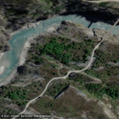
Paddle smarter with real-time insights
Whether you're en route and conditions shift or you're looking for the best spot based on current flows, we enable you to make informed decisions on the fly.







Otago licenses and regulations
No licenses or regulations available for Otago.
Find Places to Paddle

Over 400,000 Places to Paddle
Every user gets free access to launch points, boat ramps, and public property parcels.


Water and weather conditions (10 day forecast)
See the best times to paddle Shotover River and check the forecast before you go.
No forecast data available.
Paddling near Shotover River
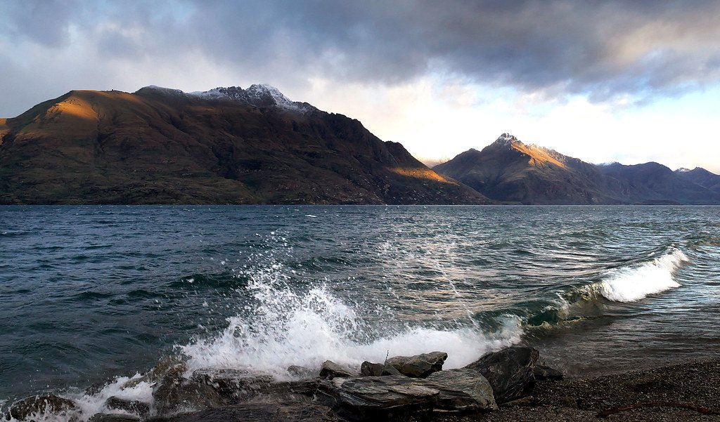
Lake Wakatipu
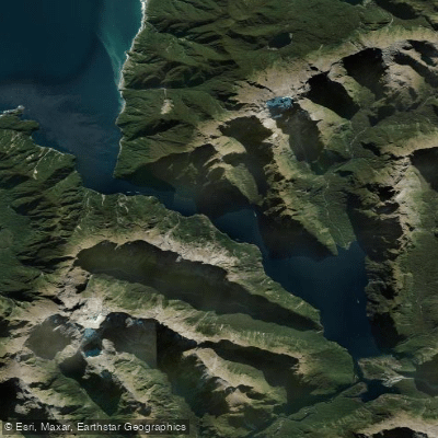
Milford Sound / Piopiotahi
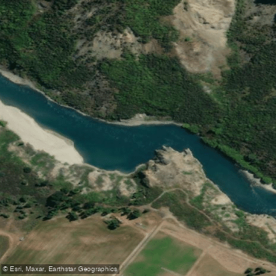
Kawarau River
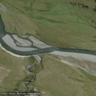
Greenstone River
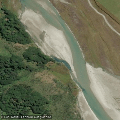
Rees River
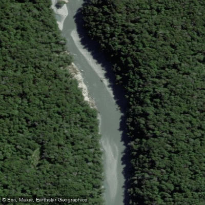
Dart River / Te Awa Whakatipu
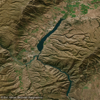
Lake Dunstan

Clutha River / Mata-Au
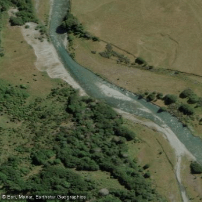
Caples River
Explore Otago waters
Top paddling waters
No waters available right now.
Popular Cities
Loading popular cities...
Explore near Shotover River

Smarter Paddling Starts in the App.
Paddleways gives you everything you need to plan smarter, paddle better, and own every trip from first launch to takeout.