Clutha River / Mata-Au

Clutha River / Mata-Au
- Boat Ramps
- 1
- Access Points
- 0
- Campsites
- 2
The Clutha River / Mata-Au is the highest-volume river in New Zealand and the longest in the South Island, flowing south-southeast approximately 338 kilometres. Its catchment covers 21,960 square kilometres and it discharges a mean flow of 614 cubic metres per second. The river originates at the outlet of Lake Wānaka and ultimately reaches the sea, making a full source-to-sea journey achievable in roughly five to six days by packraft or kayak.
The upper section, from the Lake Wānaka outlet to Albert Town, offers easy access and is suitable for paddlers comfortable with Grade 2 water. The river carries a surprising amount of current throughout, and with even a light breeze paddlers can move at around 8 km/hr without much effort. The banks are willow-lined for much of the river's length, which can complicate access to the water's edge in places. Boat ramps are available at the Outlet, Albert Town, and Bendigo. The Queenstown Lakes District Council enforces navigational safety bylaws between the Outlet and Albert Town, so paddlers should review the QLDC Navigational Safety Bylaw 2018 before launching in that section.
Further downstream, the section from Alexandra into Lake Roxburgh is relatively sheltered from wind and flows at a steady pace, as the Clyde Dam upstream regulates flow — though levels at Clyde can fluctuate between 200 and 600 cumecs. Willows along the banks require some attention, but the paddle is generally straightforward. The Roxburgh Gorge Trail runs alongside this section and provides a convenient return route for day trips.
The river passes through areas with strong historical associations, including evidence of gold mining, sluicing, and dredging, as well as remnants of early ferry and punt crossings near Albert Town. The mouth of the river features an unusual landscape of sand-covered abandoned structures abutting farmland.
The full journey from Wānaka to the sea is described as a mix of challenging and relaxed paddling, with the overall character leaning toward moving flatwater rather than technical whitewater. Paddlers should be competent in a river environment and comfortable on heavy Grade 2 water. A sea kayak is considered viable for the trip for confident paddlers. The river is generally stable in its upper reaches, with conditions not varying dramatically year to year.
Water access, boat ramps & amenities
Learn how to get on Clutha River / Mata-Au. Uncover great paddling access points, boat ramps, and all the facilities you need for an unforgettable day on the water. Some locations shown may border or include private property. Always check property boundaries and applicable regulations before visiting. PaddleWays's Public & Private Land layer can help you plan your access with confidence.
Paddle smarter with real-time insights
Whether you're en route and conditions shift or you're looking for the best spot based on current flows, we enable you to make informed decisions on the fly.







Otago licenses and regulations
No licenses or regulations available for Otago.
Find Places to Paddle

Over 400,000 Places to Paddle
Every user gets free access to launch points, boat ramps, and public property parcels.


Water and weather conditions (10 day forecast)
See the best times to paddle Clutha River / Mata-Au and check the forecast before you go.
No forecast data available.
Paddling near Clutha River / Mata-Au
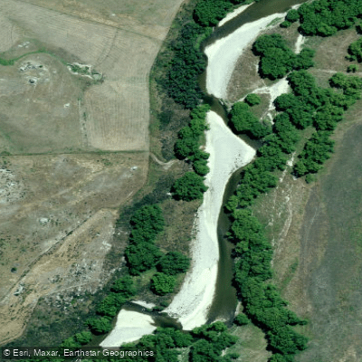
Manuherikia River
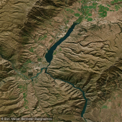
Lake Dunstan
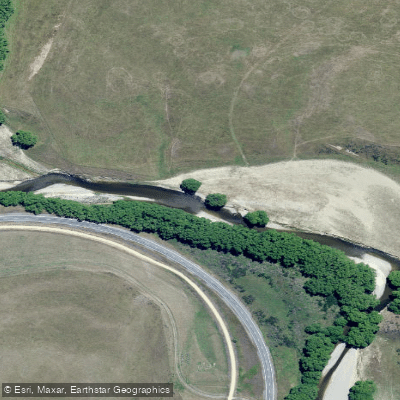
Taieri River
Pomahaka River
Kawarau River
Lake Roxburgh
Lake Wakatipu
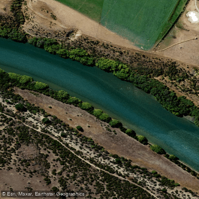
Clutha River / Mata-Au
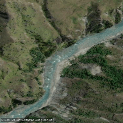
Shotover River
Explore Otago waters
Top paddling waters
No waters available right now.
Popular Cities
Loading popular cities...
Explore near Clutha River / Mata-Au

Smarter Paddling Starts in the App.
Paddleways gives you everything you need to plan smarter, paddle better, and own every trip from first launch to takeout.