Paddling in Nelson Lakes National Park
- National Park
- Lakes
- 9
- Rivers
- 18
- Access
- 0
- Boat Ramps
- 0
- Shops
- 0
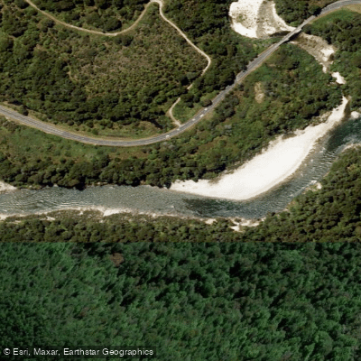
Nelson Lakes National Park sits at the northern end of the Southern Alps, where glacial forces carved deep valleys and left behind cold, clear lakes connected by rivers that drain toward the northwest.
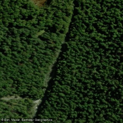
The park covers more than 1,000 square kilometres of beech forest, tussock, and rugged peaks — and the water here reflects that alpine character: clear, cold, and shaped by elevation and snowmelt.
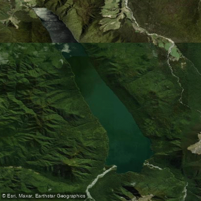
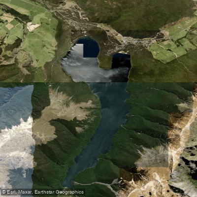
The two lakes that anchor paddling in the park are Rotoiti and Rotoroa. Both are large, cold, and mountain-ringed, and both form the headwaters of the Buller River.
Lake Rotoiti is the more accessible of the two, sitting close to the village of St Arnaud and the DOC visitor centre. Lake Rotoroa lies deeper in the park to the south.
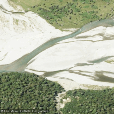
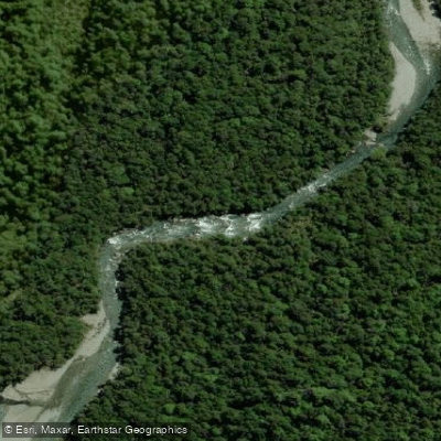
The Sabine River flows into Rotoroa from the south, and the D'Urville River drains into the same system — these are the valleys that multi-day trampers follow, and paddlers on the lakes will find themselves looking up those same corridors into the mountains.
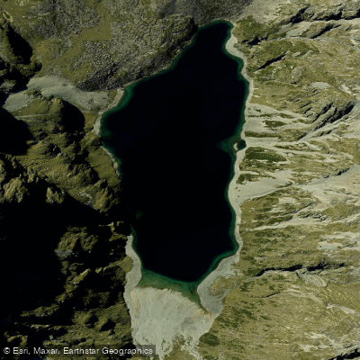
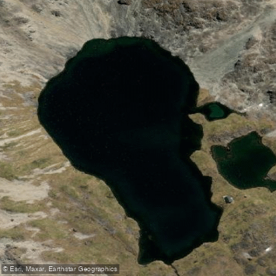
High above Rotoroa, Rotopōhueroa / Lake Constance sits in alpine terrain; Blue Lake, proven by NIWA to have underwater visibility of up to 80 metres, lies in the same area — among the clearest natural water on earth.
Summer — roughly November through April — is when the lakes are most paddleable and the river valleys most accessible. The high country weather can change fast regardless of season.
One rule shapes everything on the water here: under the Nelson Lakes National Park Bylaws 2006, motorised vessels are prohibited on all rivers within the park, and personal watercraft are banned outright.
On the lakes, no permits are required to launch a kayak or paddleboard, but New Zealand Maritime Law requires a buoyancy aid when paddleboarding. Commercial operators running guided paddle trips need DOC approval to operate in the park.
What the park gives paddlers is stillness and scale — wide lake surfaces framed by peaks, water cold enough to demand respect, and the kind of quiet that comes from a place where motors are kept off the rivers.
Check current conditions and any updated bylaws with the DOC visitor centre in St Arnaud before you launch.
Water and weather conditions (10 day forecast)
See the best times to paddle Nelson Lakes National Park and check the forecast before you go.
No forecast data available.
Paddle smarter with real-time insights
Whether you're en route and conditions shift or you're looking for the best spot based on current flows, we enable you to make informed decisions on the fly.







Paddling near Nelson Lakes National Park
Loading...
Gateway towns
Where to base yourself for paddling in Nelson Lakes National Park.
- St ArnaudTasman
The main gateway village at Lake Rotoiti, with accommodation, cafes, a grocery store, and direct access to park trailheads.
- MurchisonTasman
A small service town near the park's southern reaches, with lodging options for visitors approaching from that direction.
Explore Nelson Lakes National Park
Top paddling waters
Popular Cities
Loading popular cities...

Smarter Paddling Starts in the App.
Paddleways gives you everything you need to plan smarter, paddle better, and own every trip from first launch to takeout.