Sabine River
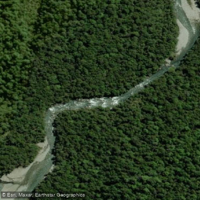
Sabine River
- Boat Ramps
- 0
- Access Points
- 0
- Campsites
- 0
The Sabine River flows through Nelson Lakes National Park on New Zealand's South Island, draining into Lake Rotoroa at its lower end. The river has two upper branches — the East Sabine and West Sabine — which converge at the Sabine Forks before continuing downstream through an unmodified beech forest valley to the lake. The West Sabine drains Lake Constance and the Blue Lake. The river's progression continues from Lake Rotoroa into the Gowan River, then the Buller River, and ultimately the Tasman Sea.
Wikipedia describes the Sabine as not a navigable river due to rocky cascades along most of its length, yet packrafters have run it successfully, reporting Class III rapids with one notable 5-drop Class IV section and a mandatory portage around a Class V gorge near the bottom. The run is approximately 9 miles long, with the remainder consisting of Class II moving water. Paddlers should be aware that rainfall significantly raises and intensifies the river, and the terrain is remote. The surrounding valley is enclosed by beech forest with alpine peaks visible above.
Access to the river is most practical via the Lake Rotoroa water taxi (approximately NZ$40), which drops paddlers at the lake's far end. From there, the Sabine Hut — situated on the shore of Lake Rotoroa near the river mouth — serves as a base. The hut system within the valley includes the West Sabine Hut near the Sabine Forks and Blue Lake Hut further up the West Sabine branch. A hut pass is required to use these facilities. Packrafters have used the Sabine as a day trip from Sabine Hut, paddling up and returning the same way.
The river corridor is part of the Travers-Sabine tramping circuit, meaning foot traffic from trampers is common along the riverbank track. Sandflies are a persistent presence in the valley. The water has a notably clear, attractive color typical of South Island alpine rivers. The combination of boulder-scoutable drops, beech forest, and snowy peaks in the background gives the river a distinctive character for those equipped to handle its technical demands.
Water access, boat ramps & amenities
Learn how to get on Sabine River. Uncover great paddling access points, boat ramps, and all the facilities you need for an unforgettable day on the water. Some locations shown may border or include private property. Always check property boundaries and applicable regulations before visiting. PaddleWays's Public & Private Land layer can help you plan your access with confidence.
Paddle smarter with real-time insights
Whether you're en route and conditions shift or you're looking for the best spot based on current flows, we enable you to make informed decisions on the fly.







Tasman licenses and regulations
No licenses or regulations available for Tasman.
Find Places to Paddle

Over 400,000 Places to Paddle
Every user gets free access to launch points, boat ramps, and public property parcels.


Water and weather conditions (10 day forecast)
See the best times to paddle Sabine River and check the forecast before you go.
No forecast data available.
Paddling near Sabine River
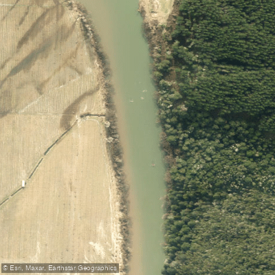
Motueka River
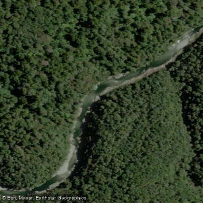
Te Hoiere / Pelorus River
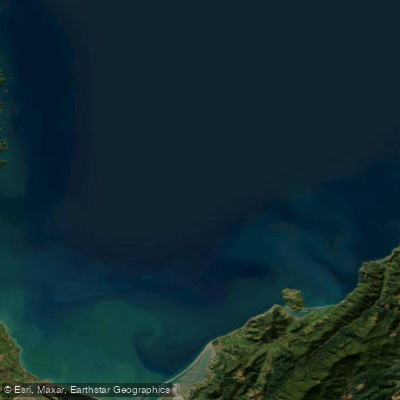
Tasman Bay / Te Tai-o-Aorere
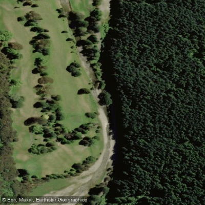
Maitai River
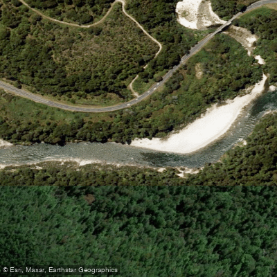
Buller River
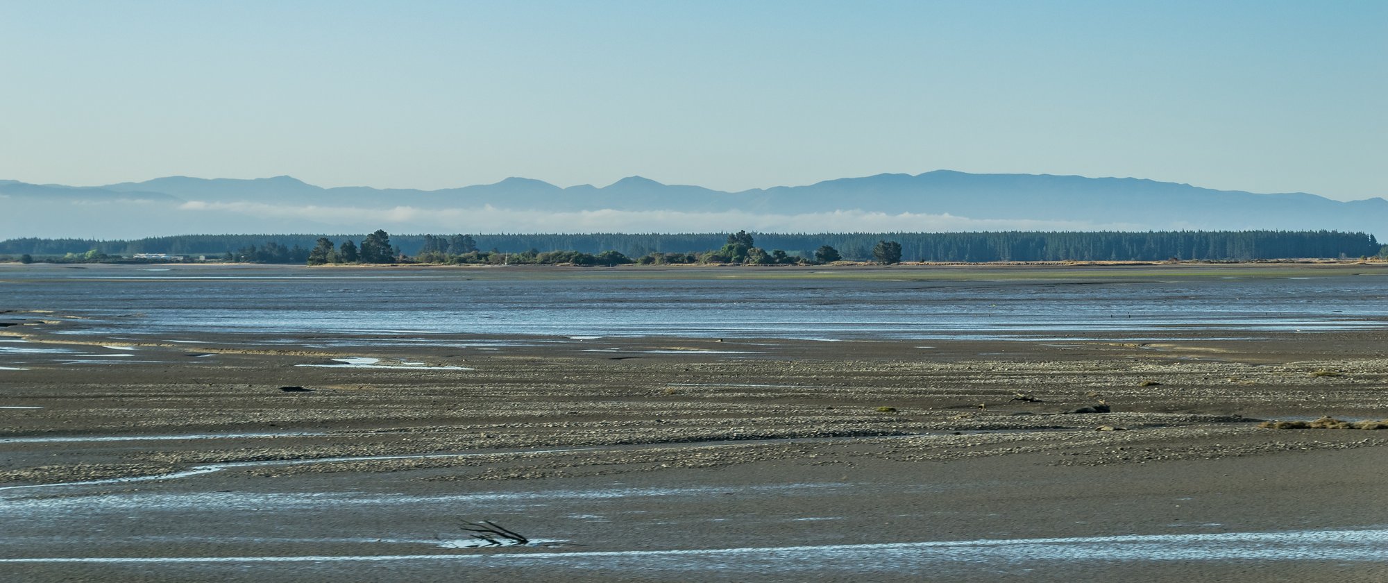
Waimea Inlet
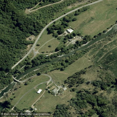
Wairoa River
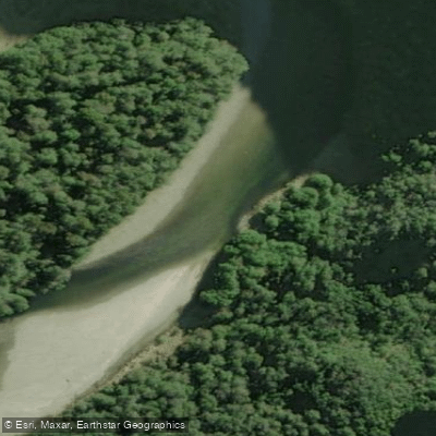
Karamea River
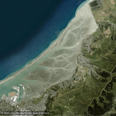
Nelson Haven
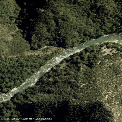
Waingaro River
Explore Tasman waters
Top paddling waters
No waters available right now.
Popular Cities
Loading popular cities...
Explore near Sabine River

Smarter Paddling Starts in the App.
Paddleways gives you everything you need to plan smarter, paddle better, and own every trip from first launch to takeout.