Matakitaki River
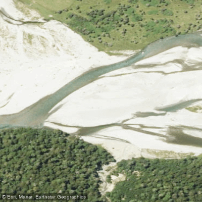
Matakitaki River
- Boat Ramps
- 0
- Access Points
- 0
- Campsites
- 0
The Matakitaki River originates on the north-western slopes of the Spenser Mountains and flows north approximately 74 kilometres to join the Buller River near Murchison. The river drops at an average gradient of 4.8 metres per kilometre overall, though specific sections are considerably steeper. It is a year-round paddling destination that rarely drops too low during summer months.
The river offers several distinct sections suited to different skill levels. The middle Matakitaki runs at Grade 2+ and is considered a scenic run with good eddy lines for skill development, including opportunities to practise swimming and throw-bag work. The Mammoth Gorge section runs at Grade II to II+, while Horse Terrace Gorge steps up to Grade III+. The lower section, sometimes called the Earthquake section after the rapid formed by an old slip from the Murchison earthquake, is a short but demanding run of roughly 1.25 miles at Class III+ to IV, with a gradient averaging 56 feet per mile. This lower section can be accessed via Matakitaki West Bank Road off Highway 6 west of Murchison, with both put-in and take-out on the same road, making the shuttle approximately 1.25 miles and around five minutes by vehicle. The lower section is noted as potentially very hazardous at certain flows and requires careful judgment.
The river transitions through several distinct characters along its length. Upper reaches are a small, braided shingle river with a narrow bed above Horse Terrace Bridge. Below the bridge the river runs over a stony gravel bottom in a single channel with small rapids, before entering a short gorge below Ten Mile Creek where larger rapids appear. Further downstream the river opens into low islands, gravel chutes, and willows before reaching Earthquake Rapid. Farmland, scrub-covered hills, blackberry, and fern flank much of the corridor.
The Murchison area is regarded as a strong destination for beginner and intermediate whitewater paddlers, with the middle section in particular considered worth running more than once. The lower section's short shuttle allows for laps, and a complete run from Murchison can be completed in as little as an hour. Flows are described as ranging from around 750 cfs upward, with the character shifting from boofs and defined eddies at lower water to pushy, punchy rapids at higher flows.
Water access, boat ramps & amenities
Learn how to get on Matakitaki River. Uncover great paddling access points, boat ramps, and all the facilities you need for an unforgettable day on the water. Some locations shown may border or include private property. Always check property boundaries and applicable regulations before visiting. PaddleWays's Public & Private Land layer can help you plan your access with confidence.
Paddle smarter with real-time insights
Whether you're en route and conditions shift or you're looking for the best spot based on current flows, we enable you to make informed decisions on the fly.







Tasman licenses and regulations
No licenses or regulations available for Tasman.
Find Places to Paddle

Over 400,000 Places to Paddle
Every user gets free access to launch points, boat ramps, and public property parcels.


Water and weather conditions (10 day forecast)
See the best times to paddle Matakitaki River and check the forecast before you go.
HY Matakitaki at Horse Terrace Br
All Flow Stations
Paddling near Matakitaki River
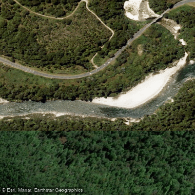
Buller River
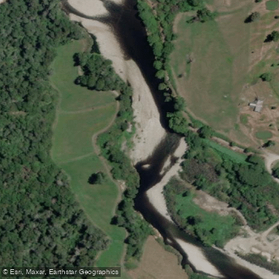
Inangahua River
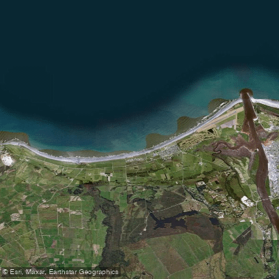
Carters Beach
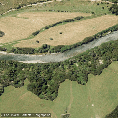
Maruia River
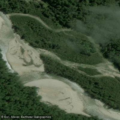
Waitahu River
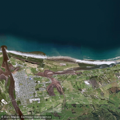
North Beach
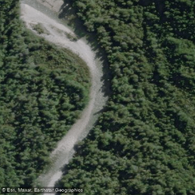
Waitakere or Nile River
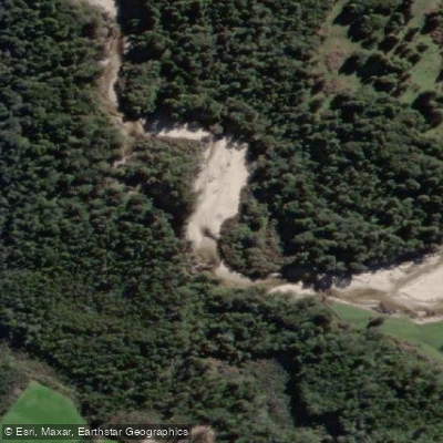
Ōkari River
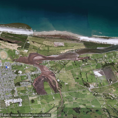
Orowaiti Lagoon
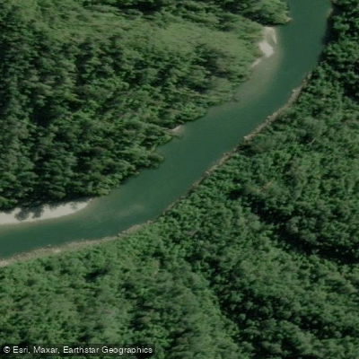
Mōkihinui River
Explore Tasman waters
Top paddling waters
No waters available right now.
Popular Cities
Loading popular cities...
Explore near Matakitaki River

Smarter Paddling Starts in the App.
Paddleways gives you everything you need to plan smarter, paddle better, and own every trip from first launch to takeout.