Buller River
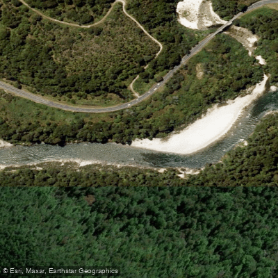
Buller River
- Boat Ramps
- 0
- Access Points
- 0
- Campsites
- 5
The Buller River (Māori: Kawatiri, meaning "swift and deep") flows 177 km from its source at Lake Rotoiti in the Saint Arnaud Range through the Buller Gorge before emptying into the Tasman Sea near Westport. It drains a basin of approximately 6,500 square kilometres and holds the distinction of having the highest flood-level discharge of any river in New Zealand, despite being only the 13th longest. Notably, it is the only major river in the country with no hydro dams or controls along its length.
The river is lake-fed, which keeps water temperatures warmer than most comparable rivers and moderates flow variability to some degree. This makes it paddleable year-round and in most weather conditions, a significant advantage over many other South Island rivers. The river is considered suitable for contact recreation approximately 95% of the time.
Murchison serves as the primary hub for paddling on the Buller, with the town sitting at the centre of roughly 14 distinct river runs accessible within a short drive. The upper sections upstream from Murchison, along with the Mangles River, are popular for whitewater kayaking. The Ariki Falls section, between Murchison and Newton Flat, is a well-known run for experienced paddlers; those less experienced can portage around the rapids, though this is not possible when the river is very low. The earthquake section near Inangahua is regarded as the most technically demanding stretch and is a focus for commercial rafting operations, of which there are several.
Difficulty ratings across the various sections range from grade 1 to grade 4, providing options for a wide range of skill levels. River flow can be checked via the gauge at Longford, which covers all Buller River runs on the Nelson side of Murchison. The TDC Flow phone line (03 543 8555) also provides automated flow information.
Access points are numerous, including Riverview Holiday Park (which has a boat ramp), Raits Bridge, the Owen Domain near the Owen Tavern, and multiple roadside pull-offs along SH6 and SH63. The Queen's Chain ensures free public access to the riverbank throughout. The gorge scenery, particularly around Inangahua Junction, passes through pink granite canyon walls, native beech forest, and past waterfalls, making the visual character of the river a notable aspect of the paddling experience.
Water access, boat ramps & amenities
Learn how to get on Buller River. Uncover great paddling access points, boat ramps, and all the facilities you need for an unforgettable day on the water. Some locations shown may border or include private property. Always check property boundaries and applicable regulations before visiting. PaddleWays's Public & Private Land layer can help you plan your access with confidence.
Paddle smarter with real-time insights
Whether you're en route and conditions shift or you're looking for the best spot based on current flows, we enable you to make informed decisions on the fly.







Tasman licenses and regulations
No licenses or regulations available for Tasman.
Find Places to Paddle

Over 400,000 Places to Paddle
Every user gets free access to launch points, boat ramps, and public property parcels.


Water and weather conditions (10 day forecast)
See the best times to paddle Buller River and check the forecast before you go.
HY Buller at Longford
All Flow Stations
Paddling near Buller River
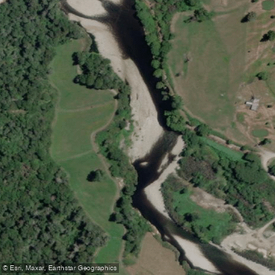
Inangahua River
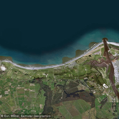
Carters Beach
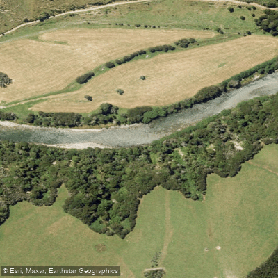
Maruia River
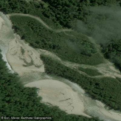
Waitahu River
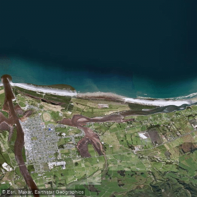
North Beach
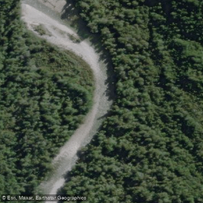
Waitakere or Nile River
Ōkari River
Orowaiti Lagoon
Mōkihinui River
Explore Tasman waters
Top paddling waters
No waters available right now.
Popular Cities
Loading popular cities...
Explore near Buller River

Smarter Paddling Starts in the App.
Paddleways gives you everything you need to plan smarter, paddle better, and own every trip from first launch to takeout.