Lake Rotoiti
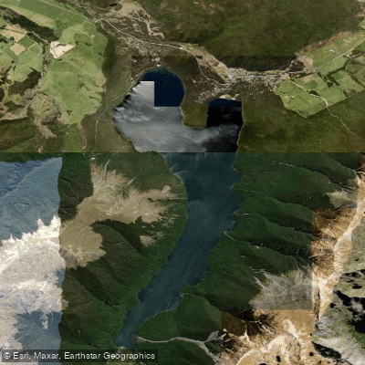
Lake Rotoiti
- Boat Ramps
- 0
- Access Points
- 0
- Campsites
- 3
The primary and most popular access point for paddlers on Lake Rotoiti is Kerr Bay, located near the village of Saint Arnaud. From here, you can embark on a full exploration of the lake, which stretches approximately 8 kilometers in length. A complete circuit of the lake's shoreline is a significant undertaking, covering about 20 kilometers, and is suited for experienced paddlers seeking a full-day challenge. The lake is well-suited for kayaking, canoeing, and stand-up paddleboarding, with conditions that can be calm for a gentle paddle or suitable for a longer, more vigorous trip. A notable hazard is the presence of wasps, bees, and sandflies along the lakeshore, particularly in the summer months, making time on the water a welcome relief. The lake is nestled within Nelson Lakes National Park, surrounded by a compact but stunning mountain range and beech forests, creating a dramatic alpine backdrop that becomes more pronounced as you paddle south. A key feature for a mid-paddle stop is the jetty on the western bank along the Lakeside Track; from there, a fifteen-minute walk through the bush leads to Whiskey Falls, a 40-meter waterfall hidden in the forest. The lake is a substantial mountain lake with a depth of about 82 meters. Facilities include campsites and the Lakeside Track for hiking at both ends of the lake, and a water taxi operates on the lake, which can be used for creating one-way paddle routes or for accessing more remote areas. The overall character is that of a pristine, picture-perfect alpine lake, popular with both locals and tourists, and offering a sense of remote wilderness despite being just over an hour's drive from Nelson.
Water access, boat ramps & amenities
Learn how to get on Lake Rotoiti. Uncover great paddling access points, boat ramps, and all the facilities you need for an unforgettable day on the water. Some locations shown may border or include private property. Always check property boundaries and applicable regulations before visiting. PaddleWays's Public & Private Land layer can help you plan your access with confidence.
Paddle smarter with real-time insights
Whether you're en route and conditions shift or you're looking for the best spot based on current flows, we enable you to make informed decisions on the fly.







Tasman licenses and regulations
No licenses or regulations available for Tasman.
Find Places to Paddle

Over 400,000 Places to Paddle
Every user gets free access to launch points, boat ramps, and public property parcels.


Water and weather conditions (10 day forecast)
See the best times to paddle Lake Rotoiti and check the forecast before you go.
No forecast data available.
Paddling near Lake Rotoiti
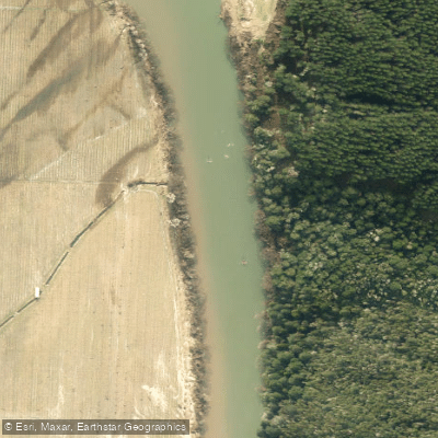
Motueka River
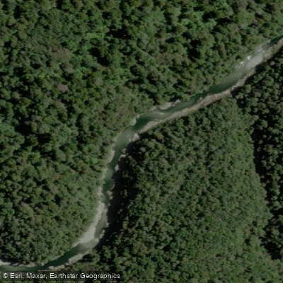
Te Hoiere / Pelorus River
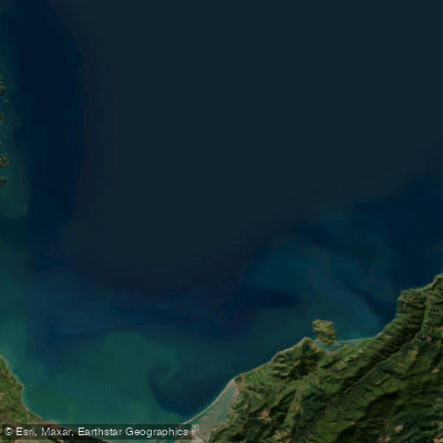
Tasman Bay / Te Tai-o-Aorere
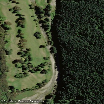
Maitai River
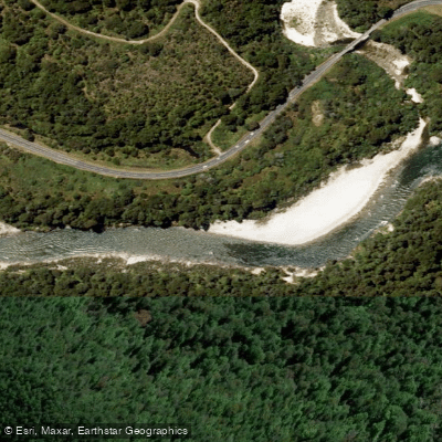
Buller River
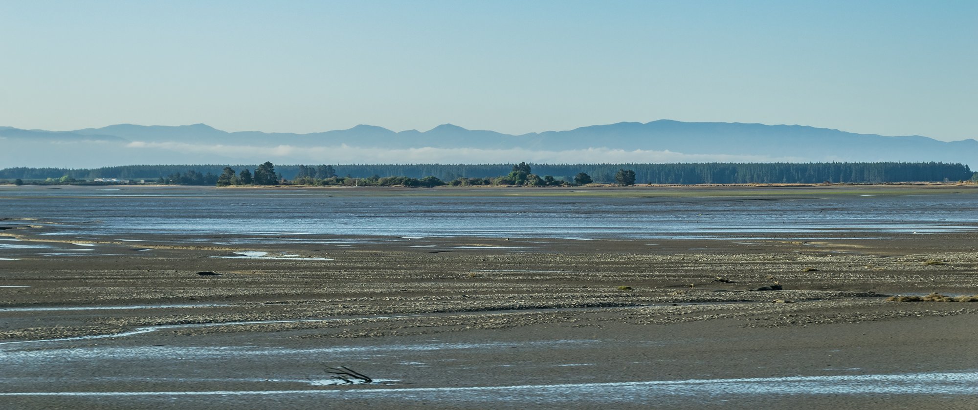
Waimea Inlet
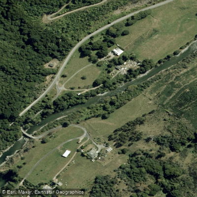
Wairoa River
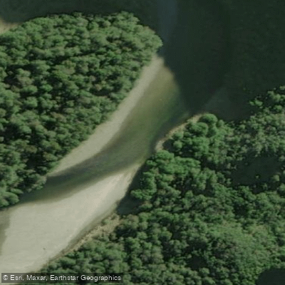
Karamea River
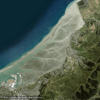
Nelson Haven
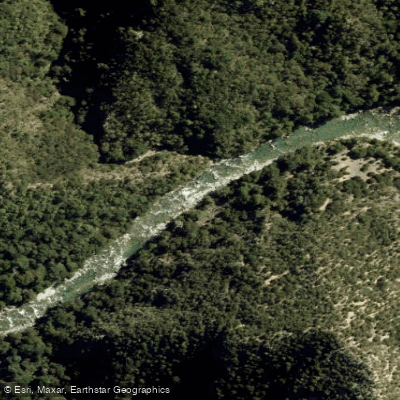
Waingaro River
Explore Tasman waters
Top paddling waters
No waters available right now.
Popular Cities
Loading popular cities...
Explore near Lake Rotoiti

Smarter Paddling Starts in the App.
Paddleways gives you everything you need to plan smarter, paddle better, and own every trip from first launch to takeout.