Rakeahua River
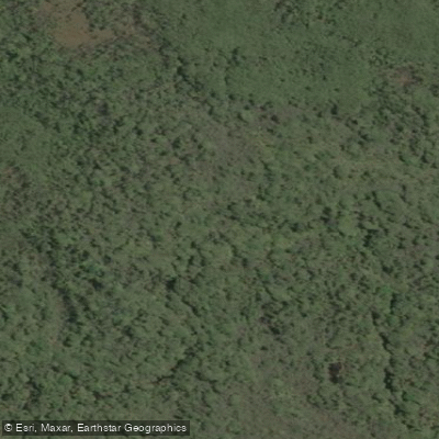
Rakeahua River
- Boat Ramps
- 0
- Access Points
- 0
- Campsites
- 0
The Rakeahua River flows through the southwest of Stewart Island (Rakiura), New Zealand, and is accessible by kayak from Paterson Inlet. Paddlers typically cross Paterson Inlet from the Oban area, making their way to the southwest arm and navigating through a maze of sandbars to reach the river mouth. From there, the river can be paddled upstream to a Department of Conservation hut that provides bunks, rainwater catchment, and a small woodstove — a practical overnight option for those combining paddling with a multi-day trip.
The river carries dark, tannin-infused water, a characteristic common to waterways draining through the island's peaty, forested terrain. Tea trees and spiky flax line the banks, and the channel narrows progressively as you move upstream. The surrounding forest supports abundant birdlife; bellbirds are notably vocal along the river corridor. Kiwi have also been reported in the vicinity of Rakeahua Landing, though sightings are not guaranteed.
Stewart Island's weather is a significant planning consideration. Conditions can shift rapidly, with strong winds capable of building whitecaps across Paterson Inlet and making the open-water crossing challenging or dangerous. The crossing from Oban to the southwest arm involves exposed water, and paddlers should be prepared for wind and swell. The island sits at a high southern latitude, and weather can deteriorate quickly regardless of season.
The river is also used by trampers on the Southern Circuit track, and at least one visitor has been noted pack-rafting the river as part of an adventure route. Kayak rental has been available locally in Oban, though availability may vary. The overall paddling experience on the Rakeahua combines a sheltered, atmospheric river paddle through dense native bush with the logistical demands of an open-water approach across Paterson Inlet, making it best suited to paddlers comfortable with variable coastal conditions and self-sufficient travel.
Water access, boat ramps & amenities
Learn how to get on Rakeahua River. Uncover great paddling access points, boat ramps, and all the facilities you need for an unforgettable day on the water. Some locations shown may border or include private property. Always check property boundaries and applicable regulations before visiting. PaddleWays's Public & Private Land layer can help you plan your access with confidence.
Paddle smarter with real-time insights
Whether you're en route and conditions shift or you're looking for the best spot based on current flows, we enable you to make informed decisions on the fly.







Southland licenses and regulations
No licenses or regulations available for Southland.
Find Places to Paddle

Over 400,000 Places to Paddle
Every user gets free access to launch points, boat ramps, and public property parcels.


Water and weather conditions (10 day forecast)
See the best times to paddle Rakeahua River and check the forecast before you go.
No forecast data available.
Paddling near Rakeahua River
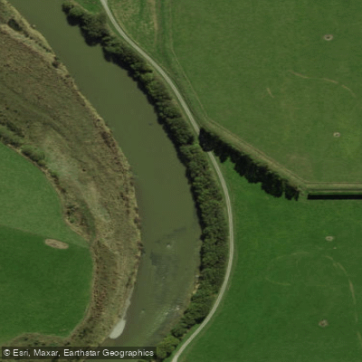
Õreti River
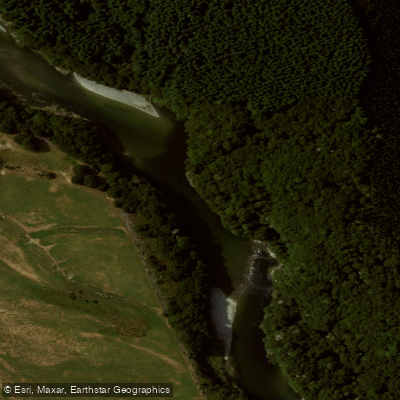
Waiau River
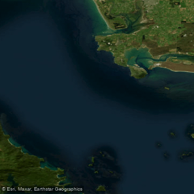
Te Ara-a-Kiwa / Foveaux Strait
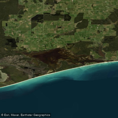
Waipārera / Waituna Lagoon
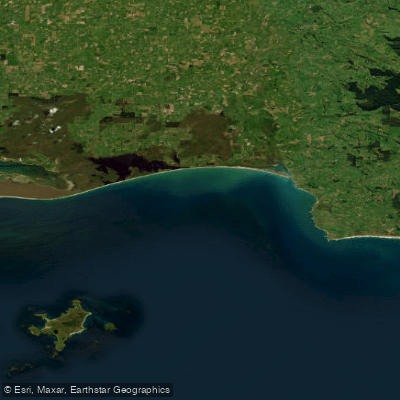
Toetoes Bay
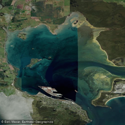
Awarua / Bluff Harbour
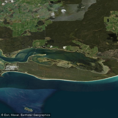
Awarua Bay / Poupoumoana / Te Wai-o-te-whawhaki
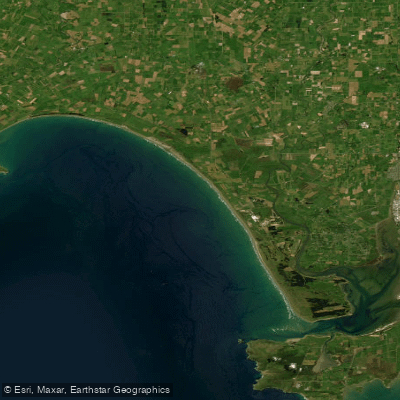
Ōreti Beach
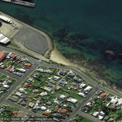
Morrison Beach
Explore Southland waters
Top paddling waters
No waters available right now.
Popular Cities
Loading popular cities...
Explore near Rakeahua River

Smarter Paddling Starts in the App.
Paddleways gives you everything you need to plan smarter, paddle better, and own every trip from first launch to takeout.