Waiau River
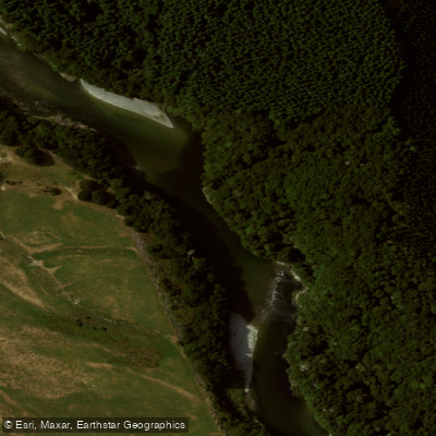
Waiau River
- Boat Ramps
- 2
- Access Points
- 0
- Campsites
- 1
The Waiau River is the largest river in the Southland region of New Zealand, flowing from Lake Te Anau into Lake Manapouri before continuing south to Te Waewae Bay on Foveaux Strait. The name translates to "River of Swirling Currents." The upper section, between Lake Te Anau and Lake Manapouri, is the stretch most commonly paddled and offers a range of trip options that can be combined with overnight stays at Shallow Bay or Moturau Hut.
Access points on the upper Waiau include Yerex Reach, Queens Reach, Rainbow Reach, and Boulder Reach. The river passes through Fiordland National Park, and the surrounding landscape includes towering mountains and native flora and fauna. The river also passes through locations used as film sites for Lord of the Rings productions, where it stood in for the River Anduin.
Paddlers should be aware of several hazards on the upper section. Fallen trees can create snags, strainers, and trap points, and eddies can affect boat control. Jetboats operate in the area, so paddlers should stay clear of them. Didymo (Didymosphenia geminata), an invasive algae, is present in this river and requires paddlers to follow standard biosecurity cleaning procedures for their equipment before and after use.
On the lower Waiau, water levels can rise rapidly. Meridian Energy periodically releases flushing flows down the river to manage didymo buildup on the riverbed, which can cause sudden and significant changes in water level. Paddlers planning trips on the lower river should monitor Meridian Energy and Southland Fish & Game communications for advance notice of these releases. The lower river also has limited access points, meaning those who do reach it will generally find solitude.
The river connects with Lake Manapouri, making it possible to combine a river paddle with time on the lake.
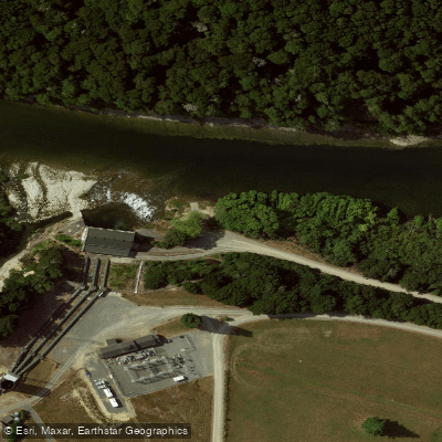
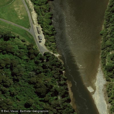
Water access, boat ramps & amenities
Learn how to get on Waiau River. Uncover great paddling access points, boat ramps, and all the facilities you need for an unforgettable day on the water. Some locations shown may border or include private property. Always check property boundaries and applicable regulations before visiting. PaddleWays's Public & Private Land layer can help you plan your access with confidence.
Paddle smarter with real-time insights
Whether you're en route and conditions shift or you're looking for the best spot based on current flows, we enable you to make informed decisions on the fly.







Southland licenses and regulations
No licenses or regulations available for Southland.
Find Places to Paddle

Over 400,000 Places to Paddle
Every user gets free access to launch points, boat ramps, and public property parcels.


Water and weather conditions (10 day forecast)
See the best times to paddle Waiau River and check the forecast before you go.
Upper Waiau River At Queens Reach
All Flow Stations
Paddling near Waiau River
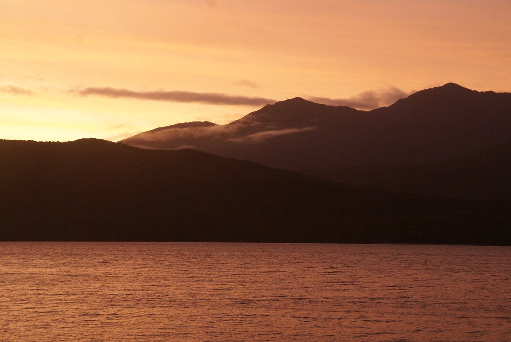
Lake Te Anau
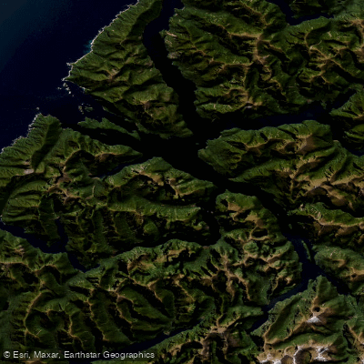
Doubtful Sound / Patea
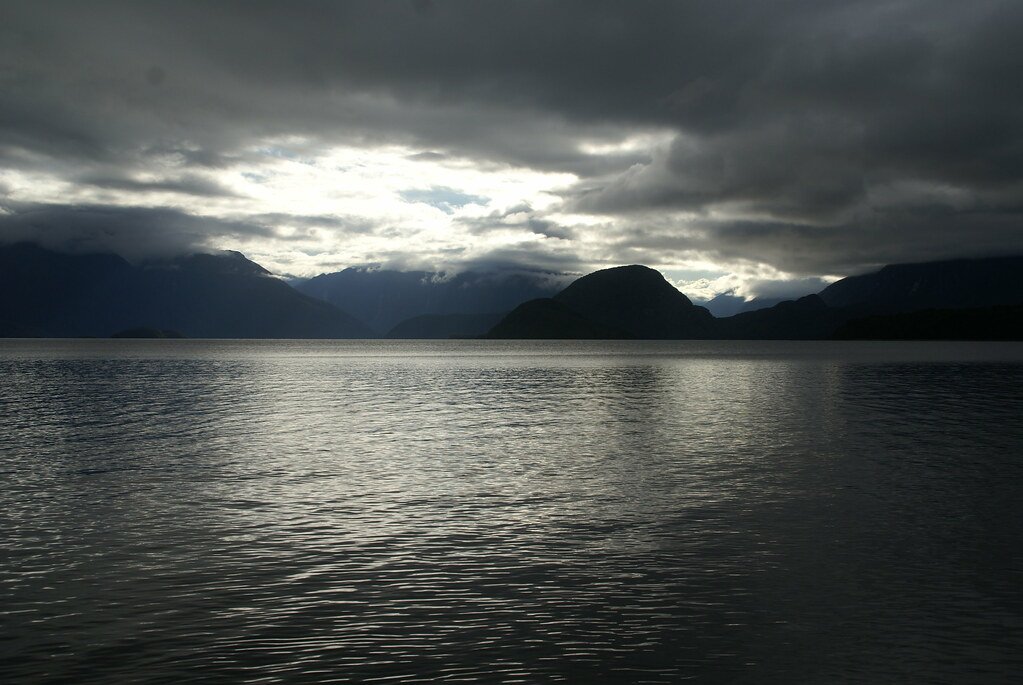
Lake Manapouri
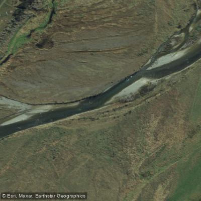
Mararoa River
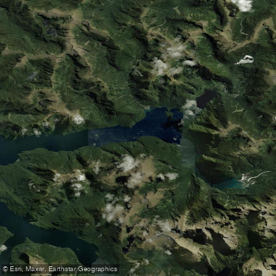
Kaikiekie / Bradshaw Sound
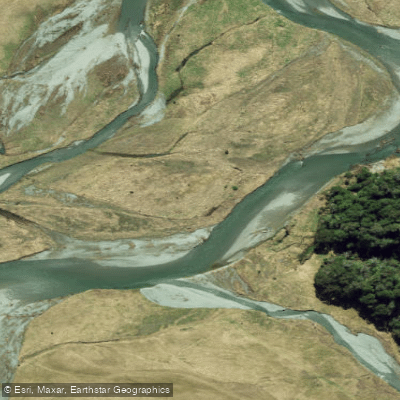
Eglinton River West Branch
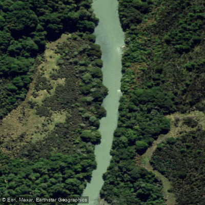
Eglinton River
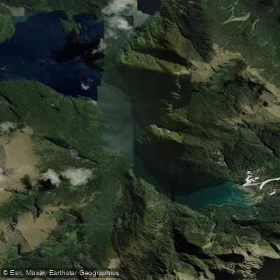
Kutupārera / Gaer Arm
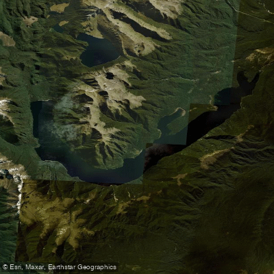
Lake Monowai
Explore Southland waters
Top paddling waters
No waters available right now.
Popular Cities
Loading popular cities...
Explore near Waiau River

Smarter Paddling Starts in the App.
Paddleways gives you everything you need to plan smarter, paddle better, and own every trip from first launch to takeout.