Waipārera / Waituna Lagoon
Waipārera / Waituna Lagoon
- Boat Ramps
- 0
- Access Points
- 0
- Campsites
- 0
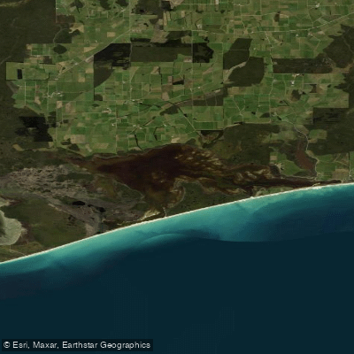
Waipārera / Waituna Lagoon sits on the southern coastline of New Zealand's South Island, approximately 40 kilometres east of Invercargill in Southland. The lagoon covers around 1,350–1,359 hectares and is part of the larger 20,000-hectare Awarua Waituna Wetland catchment. It is a brackish coastal lagoon fed by three main creeks — Waituna Creek, Moffat Creek, and Currans Creek — and is separated from the sea by a barrier beach that ranges from roughly 50 metres to 1,500 metres wide. Average depth is approximately one metre throughout. The water carries a characteristic clear brown stain derived from surrounding peat bog drainage, which also gives it a low nutrient status and low pH. Water quality has been under pressure from elevated suspended sediment and nutrient loads, primarily phosphorous and nitrogen, originating from surrounding farmland.
The lagoon and surrounding wetland were designated a Ramsar Wetland of International Importance in 1976, one of the first such designations in the world, and the site was expanded in 2008. It holds Scientific Reserve status nationally since 1983. Paddlers should be aware that this reserve status carries regulatory implications for access and use; the lagoon is noted for permitted sport fishing and game bird hunting, but any paddling activity should be checked against current reserve regulations before visiting.
Kapuka South Road, which is signposted off State Highway 92 approximately five kilometres past Gorge Road township, provides access to the wetland area. The flatness of the surrounding terrain is a defining characteristic of the area.
Seventy-three to seventy-six bird species have been recorded at the lagoon, including internationally significant migratory wading birds, Australasian bittern, mallard ducks, shoveler, Canada geese, paradise ducks, and black swans. The lagoon also supports a notable brown trout fishery, with sea-run brown trout present. The fishing season runs from 1 October to 30 April, with a daily limit of two trout per person. The macrophyte community is dominated by Ruppia, and the area supports unusual plant species including the cushion plant Donatia, which typically grows in sub-alpine environments. The surrounding wetland represents one of the last relatively unmodified expanses of lowland wetland remaining in New Zealand.
Water access, boat ramps & amenities
Learn how to get on Waipārera / Waituna Lagoon. Uncover great paddling access points, boat ramps, and all the facilities you need for an unforgettable day on the water. Some locations shown may border or include private property. Always check property boundaries and applicable regulations before visiting. PaddleWays's Public & Private Land layer can help you plan your access with confidence.
Paddle smarter with real-time insights
Whether you're en route and conditions shift or you're looking for the best spot based on current flows, we enable you to make informed decisions on the fly.







Southland licenses and regulations
No licenses or regulations available for Southland.
Find Places to Paddle

Over 400,000 Places to Paddle
Every user gets free access to launch points, boat ramps, and public property parcels.


Water and weather conditions (10 day forecast)
See the best times to paddle Waipārera / Waituna Lagoon and check the forecast before you go.
No forecast data available.
Paddling near Waipārera / Waituna Lagoon
Õreti River
Te Ara-a-Kiwa / Foveaux Strait
Waiau River
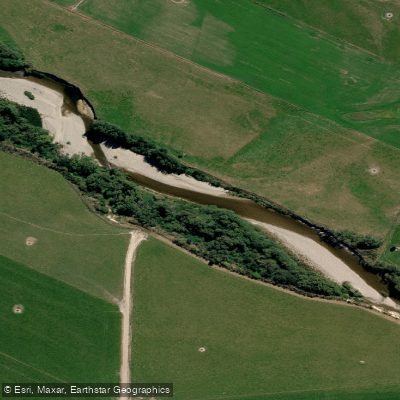
Pomahaka River
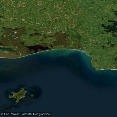
Toetoes Bay
Rakeahua River
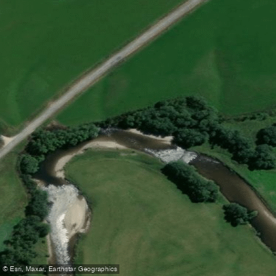
Waikaia River
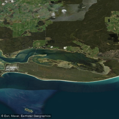
Awarua Bay / Poupoumoana / Te Wai-o-te-whawhaki
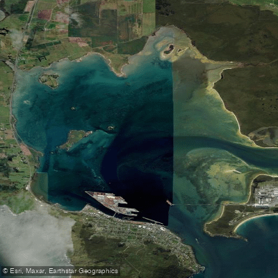
Awarua / Bluff Harbour
Explore Southland waters
Top paddling waters
No waters available right now.
Popular Cities
Loading popular cities...
Explore near Waipārera / Waituna Lagoon

Smarter Paddling Starts in the App.
Paddleways gives you everything you need to plan smarter, paddle better, and own every trip from first launch to takeout.