Te Ara-a-Kiwa / Foveaux Strait
- Saltwater
- Strait
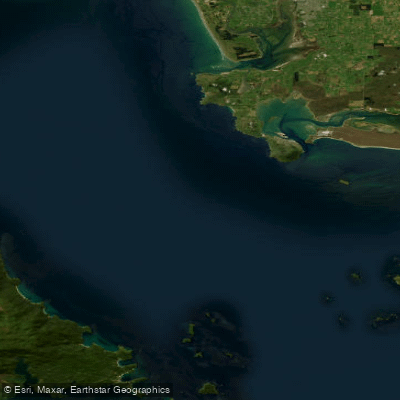
Te Ara-a-Kiwa / Foveaux Strait
- Saltwater
- Strait
- Sq. miles
- 1,240
- Boat Ramps
- 2
- Access Points
- 0
- Campsites
- 3
Te Ara-a-Kiwa / Foveaux Strait is a substantial and exposed open ocean stretch of coastal water separating Rakiura (Stewart Island) from the South Island of New Zealand, covering approximately 2,460 square kilometers. This strait is widely recognized as one of New Zealand's most dramatic and challenging marine environments. Its exposed nature leads to significant wave heights, making it a serious undertaking suitable only for highly experienced and well-prepared paddlers. The strait was formed according to Māori tradition when the whale Kewa chewed through a land isthmus, with the resulting crumbs forming the many islands scattered throughout the waters. The coastline features a mix of pristine sandy beaches, hidden bays, tidal mudflats, and ancient rainforests that grow right down to sea level, particularly around Rakiura. The region is rich in wildlife, including sea lions and seals, and is adjacent to the pest-free bird sanctuary of Ulva Island. The area holds deep cultural significance for Ngāi Tahu, with numerous named reefs, sand banks, channels, and customary fishing grounds documented through history. Permanent historical settlements were located at places like Port Pegasus and Port Adventure. For paddlers, key access points would logically be from coastal settlements on either side of the strait, such as the town of Oban on Stewart Island or Bluff on the South Island. The raw beauty is underscored by long summer daylight hours and exceptionally dark skies for astral viewing. Given the strait's formidable reputation for exposure and wave height, paddling here demands careful planning around weather, tides, and currents, and is best attempted during settled summer conditions.
Water access, boat ramps & amenities
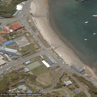
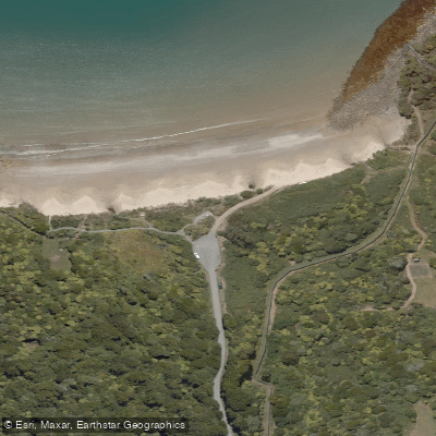
Learn how to get on Te Ara-a-Kiwa / Foveaux Strait. Uncover great paddling access points, boat ramps, and all the facilities you need for an unforgettable day on the water. Some locations shown may border or include private property. Always check property boundaries and applicable regulations before visiting. PaddleWays's Public & Private Land layer can help you plan your access with confidence.
Paddle smarter with real-time insights
Whether you're en route and conditions shift or you're looking for the best spot based on current flows, we enable you to make informed decisions on the fly.







Southland licenses and regulations
No licenses or regulations available for Southland.
Find Places to Paddle

Over 400,000 Places to Paddle
Every user gets free access to launch points, boat ramps, and public property parcels.


Tides, wind & water conditions (10 day forecast)
On open water, wind and tide matter as much as the weather. See the best times to paddle Te Ara-a-Kiwa / Foveaux Strait and check the marine forecast before you launch.
Loading tide predictions…
Paddling near Te Ara-a-Kiwa / Foveaux Strait
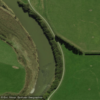
Õreti River
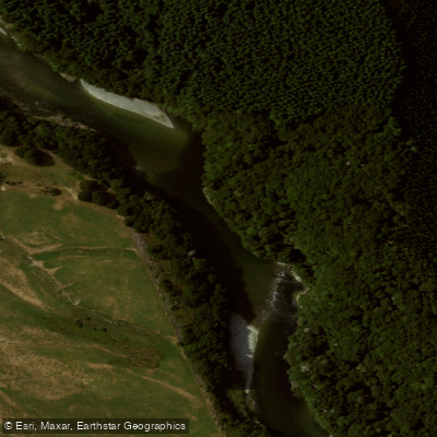
Waiau River
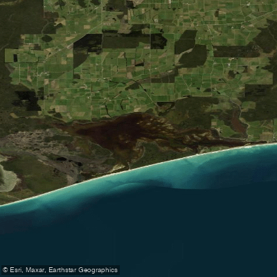
Waipārera / Waituna Lagoon
Rakeahua River
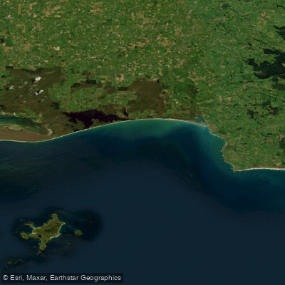
Toetoes Bay
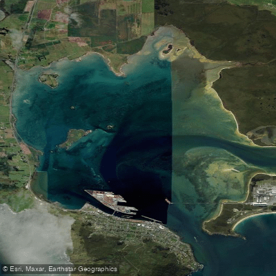
Awarua / Bluff Harbour
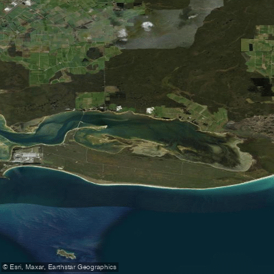
Awarua Bay / Poupoumoana / Te Wai-o-te-whawhaki
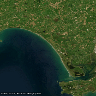
Ōreti Beach
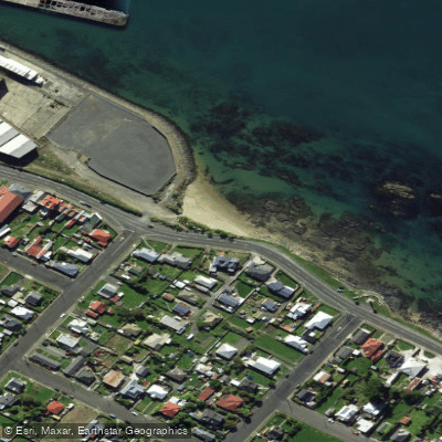
Morrison Beach
Explore Southland waters
Top paddling waters
No waters available right now.
Popular Cities
Loading popular cities...
Explore near Te Ara-a-Kiwa / Foveaux Strait
Nearby waters
More in Southland

Smarter Paddling Starts in the App.
Paddleways gives you everything you need to plan smarter, paddle better, and own every trip from first launch to takeout.