Toetoes Bay
- Saltwater
- Bay
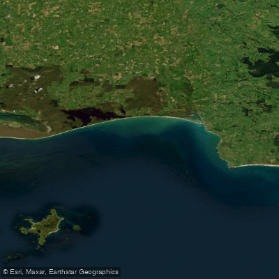
Toetoes Bay
- Saltwater
- Bay
- Sq. miles
- 63
- Boat Ramps
- 0
- Access Points
- 0
- Campsites
- 0
Toetoes Bay is a large, shallow coastal bay on the southeastern coast of Southland, New Zealand, forming the western edge of the Catlins region. The bay is characterized by expansive tidal flats, an estuary system at the mouth of the Mataura River, and a dune system along Fortrose Headland. The small settlement of Fortrose sits near a lagoon at the river mouth, providing a primary access point for paddlers. The calm waters of the bay are ideal for kayaking and paddleboarding. The overall paddling experience is defined by interaction with a windswept, open coastal environment and a large tidal estuary. The area is used for activities like whitebaiting, trout fishing, and floundering, which indicates the presence of other water users that paddlers should be aware of. The bay's historical significance is underscored by its mention in maritime disaster records, with shipwrecks documented in the area, highlighting the need for caution regarding coastal conditions and navigation. The nearby landmark of Slope Point, the southernmost point of the South Island, lies approximately 24 kilometers south of Waikawa and near the south-western edge of the Catlins and Toetoes Bay. The estuary itself encompasses approximately 400 hectares of tidal flats, 13km of the lower Mataura River, and 4km of the Titiroa Stream. Paddlers can expect a landscape shaped by river and sea interaction, with views of farming country along the shores.
Water access, boat ramps & amenities
Learn how to get on Toetoes Bay. Uncover great paddling access points, boat ramps, and all the facilities you need for an unforgettable day on the water. Some locations shown may border or include private property. Always check property boundaries and applicable regulations before visiting. PaddleWays's Public & Private Land layer can help you plan your access with confidence.
Paddle smarter with real-time insights
Whether you're en route and conditions shift or you're looking for the best spot based on current flows, we enable you to make informed decisions on the fly.







Southland licenses and regulations
No licenses or regulations available for Southland.
Find Places to Paddle

Over 400,000 Places to Paddle
Every user gets free access to launch points, boat ramps, and public property parcels.


Tides, wind & water conditions (10 day forecast)
On open water, wind and tide matter as much as the weather. See the best times to paddle Toetoes Bay and check the marine forecast before you launch.
Loading tide predictions…
Paddling near Toetoes Bay
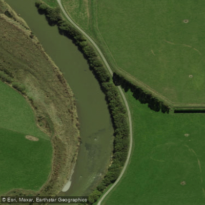
Õreti River
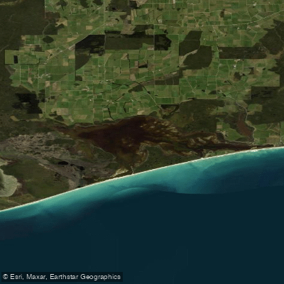
Waipārera / Waituna Lagoon
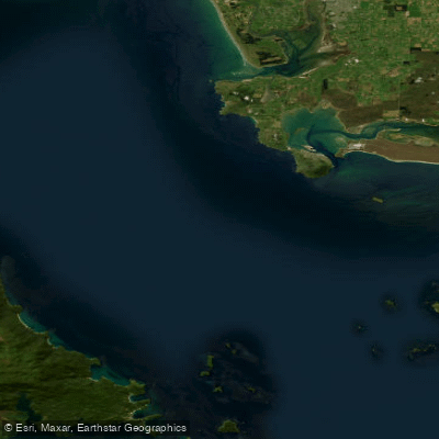
Te Ara-a-Kiwa / Foveaux Strait
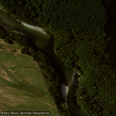
Waiau River
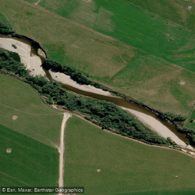
Pomahaka River
Rakeahua River
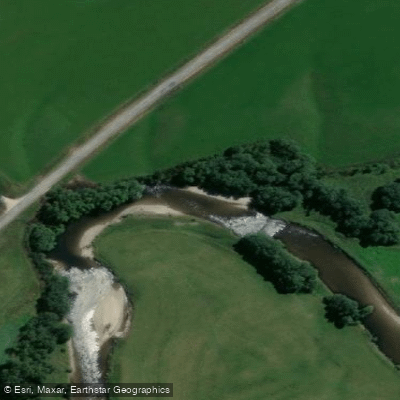
Waikaia River
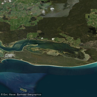
Awarua Bay / Poupoumoana / Te Wai-o-te-whawhaki
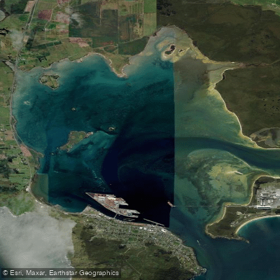
Awarua / Bluff Harbour
Explore Southland waters
Top paddling waters
No waters available right now.
Popular Cities
Loading popular cities...
Explore near Toetoes Bay

Smarter Paddling Starts in the App.
Paddleways gives you everything you need to plan smarter, paddle better, and own every trip from first launch to takeout.