Port Taranaki
- Saltwater
- Bay
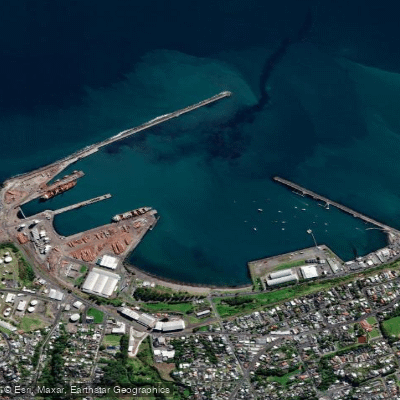
Port Taranaki
- Saltwater
- Bay
- Sq. miles
- 0.3
- Boat Ramps
- 0
- Access Points
- 1
- Campsites
- 0
Port Taranaki is a deep-water commercial seaport and sheltered bay on the west coast of New Zealand's North Island, centrally located in New Plymouth, Taranaki. The port is protected from the Tasman Sea by two breakwaters, the Main Breakwater and the Lee Breakwater, which create a calm basin inside. This makes it a popular and sheltered oasis for recreational paddling on an otherwise exposed coastline. The primary public launch and take-out point for kayaks and paddleboards is Ngamotu Beach, located within the harbour's inshore area. This beach is a popular summer swimming spot and provides direct access to the sheltered basin waters. Paddlers must be aware that Port Taranaki is a busy working harbour with significant commercial ship traffic, including large cargo vessels up to 200 meters long. The harbour is divided into specific zones for safety. The entrance channel is a confined area bounded by shallows, while the basin is a turning area for ships but also a recreational zone without a blanket speed limit. Access to the wharf and berth areas is strictly prohibited for recreational craft and swimmers. All paddlers must maintain a distance of at least 50 meters from the sides and stern of commercial vessels and 300 meters from their bow. It is highly recommended to check the Port Taranaki website for the shipping schedule before heading out to avoid vessel movements entirely. Key safety regulations include wearing a lifejacket, using bright colours or flags for visibility, and using a light from dusk to dawn. A detailed quick reference guide titled "Know Before You Go" is available from the Taranaki Regional Council, outlining all harbour rules. From the sheltered waters of the port, paddlers can venture out to explore the nearby Sugar Loaf Islands (Ngā Motu/Moturoa Island), which are located just outside the harbour limits within a marine protected area. These islands are home to a seal colony and have significant Maori and European history. The coastal waters are constantly flushed by Tasman Sea currents, which maintain high water quality. The summer months see the highest concentration of harbour users, including paddlers, swimmers, and boaties, alongside commercial port activity, requiring heightened awareness and caution.
Water access, boat ramps & amenities
Learn how to get on Port Taranaki. Uncover great paddling access points, boat ramps, and all the facilities you need for an unforgettable day on the water. Some locations shown may border or include private property. Always check property boundaries and applicable regulations before visiting. PaddleWays's Public & Private Land layer can help you plan your access with confidence.
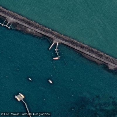
Paddle smarter with real-time insights
Whether you're en route and conditions shift or you're looking for the best spot based on current flows, we enable you to make informed decisions on the fly.







Taranaki licenses and regulations
No licenses or regulations available for Taranaki.
Find Places to Paddle

Over 400,000 Places to Paddle
Every user gets free access to launch points, boat ramps, and public property parcels.


Tides, wind & water conditions (10 day forecast)
On open water, wind and tide matter as much as the weather. See the best times to paddle Port Taranaki and check the marine forecast before you launch.
Loading tide predictions…
Paddling near Port Taranaki
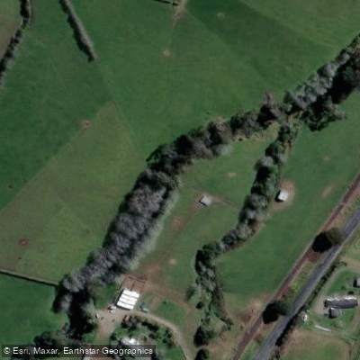
Waiongana Stream
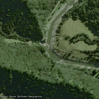
Waitara River
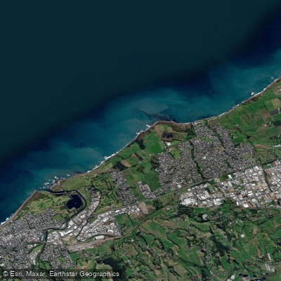
Bell Block Beach
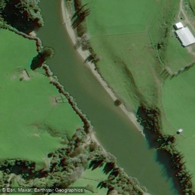
Pātea River
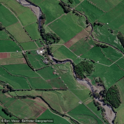
Stony River (Hangatahua)
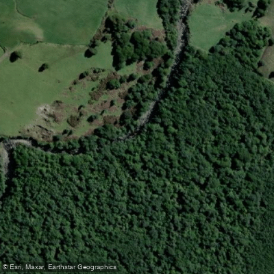
Kai Auahi Stream
Mōkau River
Fitzroy Beach

Whanganui River
Explore Taranaki waters
Top paddling waters
No waters available right now.
Popular Cities
Loading popular cities...
Explore near Port Taranaki

Smarter Paddling Starts in the App.
Paddleways gives you everything you need to plan smarter, paddle better, and own every trip from first launch to takeout.