Aorere River
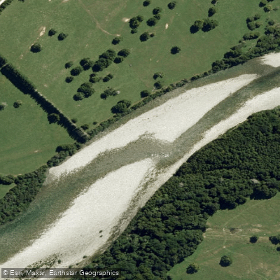
Aorere River
- Boat Ramps
- 0
- Access Points
- 0
- Campsites
- 1
The Aorere River is a 43-kilometre river draining the Wakamarama and Haupiri ranges in the Kahurangi National Park region of Golden Bay, west of Nelson. It flows north to Golden Bay at Collingwood, which is roughly five minutes from the river's lower reaches and about two hours from Nelson. The river runs over a bed of round granite stone and large outcrops of solid rock, and remains clear at low flows, becoming turbid after heavy rain.
The character of the river changes significantly along its length. The lower reaches near Collingwood are deep and slow moving, becoming tidal in the vicinity of the town itself. Further upstream, the river transitions to faster flows with deep pools, particularly above the confluence with the Brown River at the start of the Heaphy Track, where the gradient and depth increase considerably. Access to the upper reaches requires walking along a defined track, as the road ends at the Heaphy Track start.
Several road access points exist along the middle and lower river, including Rockville Bridge on the Collingwood-Bainham Road, Salisbury Bridge off Aorere Valley Road, and various points along McKay Pass Road. These provide options for put-ins and take-outs along the more accessible sections.
Motorized vessel speed limits apply on the Aorere and are seasonally adjusted. From 1 September to 30 November, the speed limit is uplifted only between the Brown River confluence and Rockville. From 1 December to 31 August, the speed limit is uplifted from the Brown River confluence all the way to the sea. Paddlers should be aware that during the December to August period in particular, motorized craft may be operating at higher speeds on a longer stretch of river. General maritime rules apply to all small craft including kayaks, and paddlers are encouraged to display brightly colored equipment to aid visibility.
Water access, boat ramps & amenities
Learn how to get on Aorere River. Uncover great paddling access points, boat ramps, and all the facilities you need for an unforgettable day on the water. Some locations shown may border or include private property. Always check property boundaries and applicable regulations before visiting. PaddleWays's Public & Private Land layer can help you plan your access with confidence.
Paddle smarter with real-time insights
Whether you're en route and conditions shift or you're looking for the best spot based on current flows, we enable you to make informed decisions on the fly.







Tasman licenses and regulations
No licenses or regulations available for Tasman.
Find Places to Paddle

Over 400,000 Places to Paddle
Every user gets free access to launch points, boat ramps, and public property parcels.


Water and weather conditions (10 day forecast)
See the best times to paddle Aorere River and check the forecast before you go.
HY Aorere at Devils Boots
All Flow Stations
Paddling near Aorere River
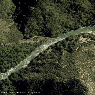
Waingaro River
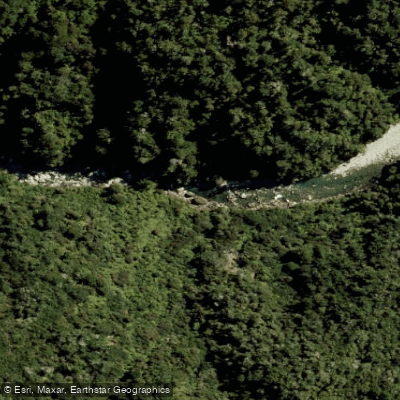
Anatoki River
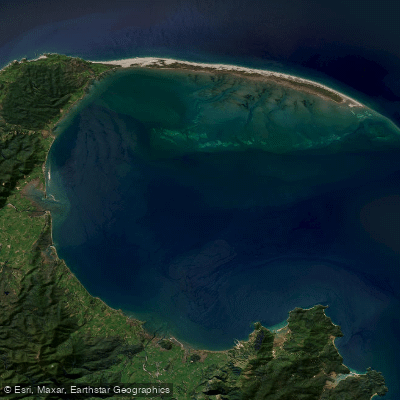
Golden Bay / Mohua
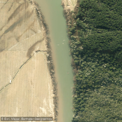
Motueka River
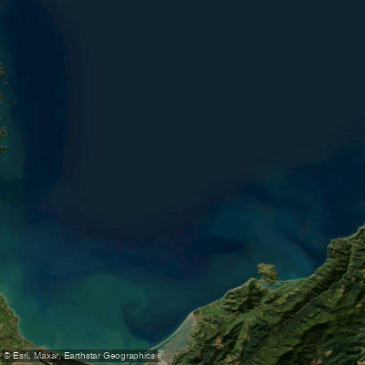
Tasman Bay / Te Tai-o-Aorere
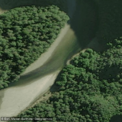
Karamea River
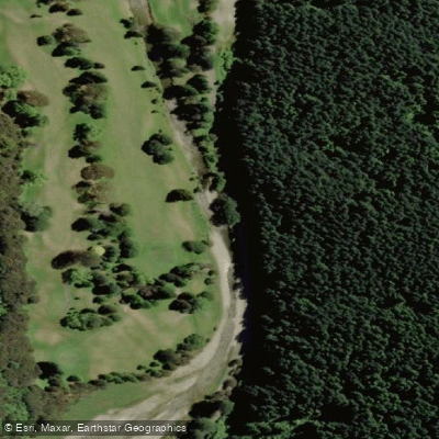
Maitai River
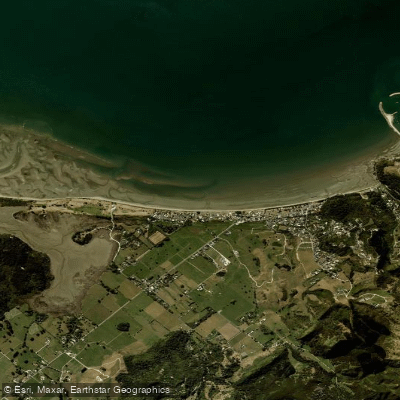
Pōhara Beach
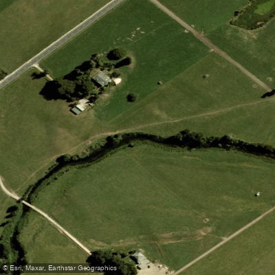
Motupipi River
Explore Tasman waters
Top paddling waters
No waters available right now.
Popular Cities
Loading popular cities...
Explore near Aorere River

Smarter Paddling Starts in the App.
Paddleways gives you everything you need to plan smarter, paddle better, and own every trip from first launch to takeout.