Tasman Bay / Te Tai-o-Aorere
- Saltwater
- Bay
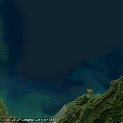
Tasman Bay / Te Tai-o-Aorere
- Saltwater
- Bay
- Sq. miles
- 767
- Boat Ramps
- 0
- Access Points
- 0
- Campsites
- 15
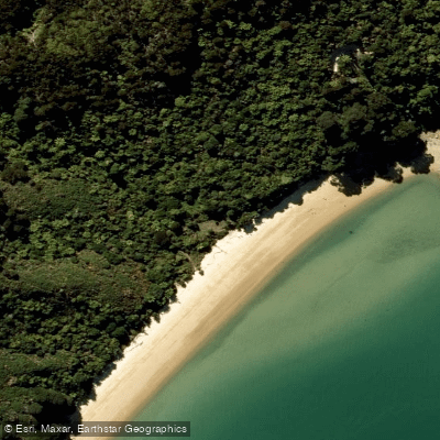
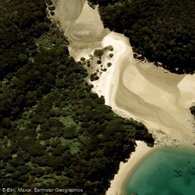
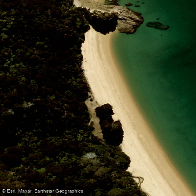
Tasman Bay / Te Tai-o-Aorere is a large coastal bay on the northern coast of New Zealand's South Island, adjacent to the city of Nelson. The bay's eastern coastline, stretching northwest from Nelson, is characterized by rocky shores, sheltered beaches, and tidal sandflats, leading to the Abel Tasman National Park. This national park, situated between Golden Bay and Tasman Bay, is a primary destination for paddlers, featuring a 60-kilometer coastal track best appreciated by canoe or kayak. The park's boundary is defined by the average high tide line, with intertidal beaches designated as a scenic reserve. Key coastal access points for paddlers include Glenduan, where kayaks can be launched and retrieved to explore the Horoirangi Marine Reserve, and Cable Bay beach, suitable for launching kayaks and small boats to reach the northern sector of that reserve. For larger craft, public launching facilities are available at Nelson and Mapua. The coastline offers little shelter, and stiff sea breezes are common in summer, requiring paddlers to monitor weather and sea conditions closely. Hazards include unstable and slippery boulders along the shore in some areas and potential falling rocks from coastal cliffs. Within the Horoirangi Marine Reserve, which covers 904 hectares off the coast, all fishing is prohibited. The marine environment features rugged boulder reefs extending offshore, rich with marine life. The overall paddling experience along this coast is one of scenic beauty, with golden sand beaches, clear turquoise water, and native forest, though it can be exposed to wind and waves.
Water access, boat ramps & amenities
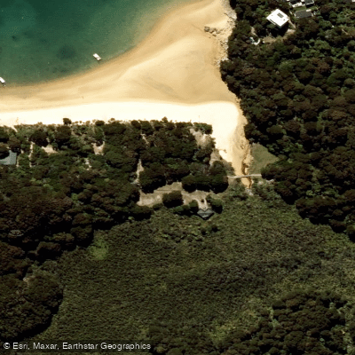
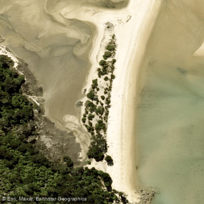
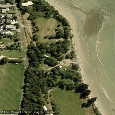
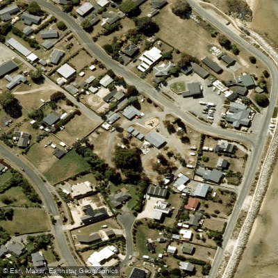
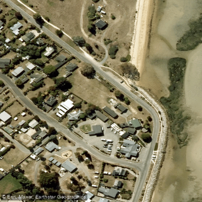
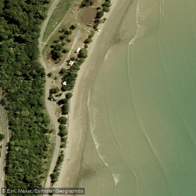
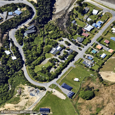
Learn how to get on Tasman Bay / Te Tai-o-Aorere. Uncover great paddling access points, boat ramps, and all the facilities you need for an unforgettable day on the water. Some locations shown may border or include private property. Always check property boundaries and applicable regulations before visiting. PaddleWays's Public & Private Land layer can help you plan your access with confidence.
Paddle smarter with real-time insights
Whether you're en route and conditions shift or you're looking for the best spot based on current flows, we enable you to make informed decisions on the fly.







Nelson licenses and regulations
No licenses or regulations available for Nelson.
Find Places to Paddle

Over 400,000 Places to Paddle
Every user gets free access to launch points, boat ramps, and public property parcels.


Tides, wind & water conditions (10 day forecast)
On open water, wind and tide matter as much as the weather. See the best times to paddle Tasman Bay / Te Tai-o-Aorere and check the marine forecast before you launch.
Loading tide predictions…
Paddling near Tasman Bay / Te Tai-o-Aorere
Motueka River
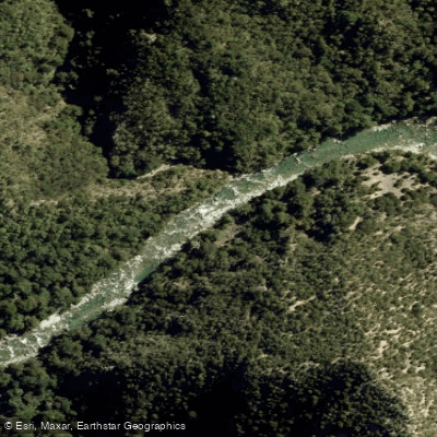
Waingaro River
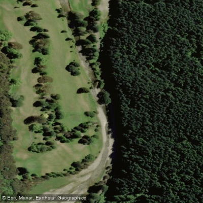
Maitai River
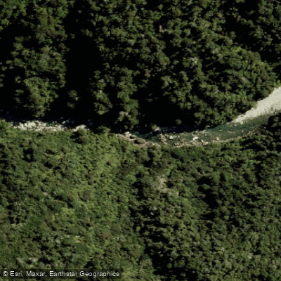
Anatoki River
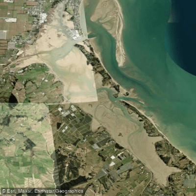
Moutere Inlet
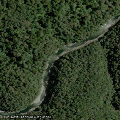
Te Hoiere / Pelorus River
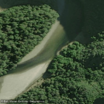
Karamea River
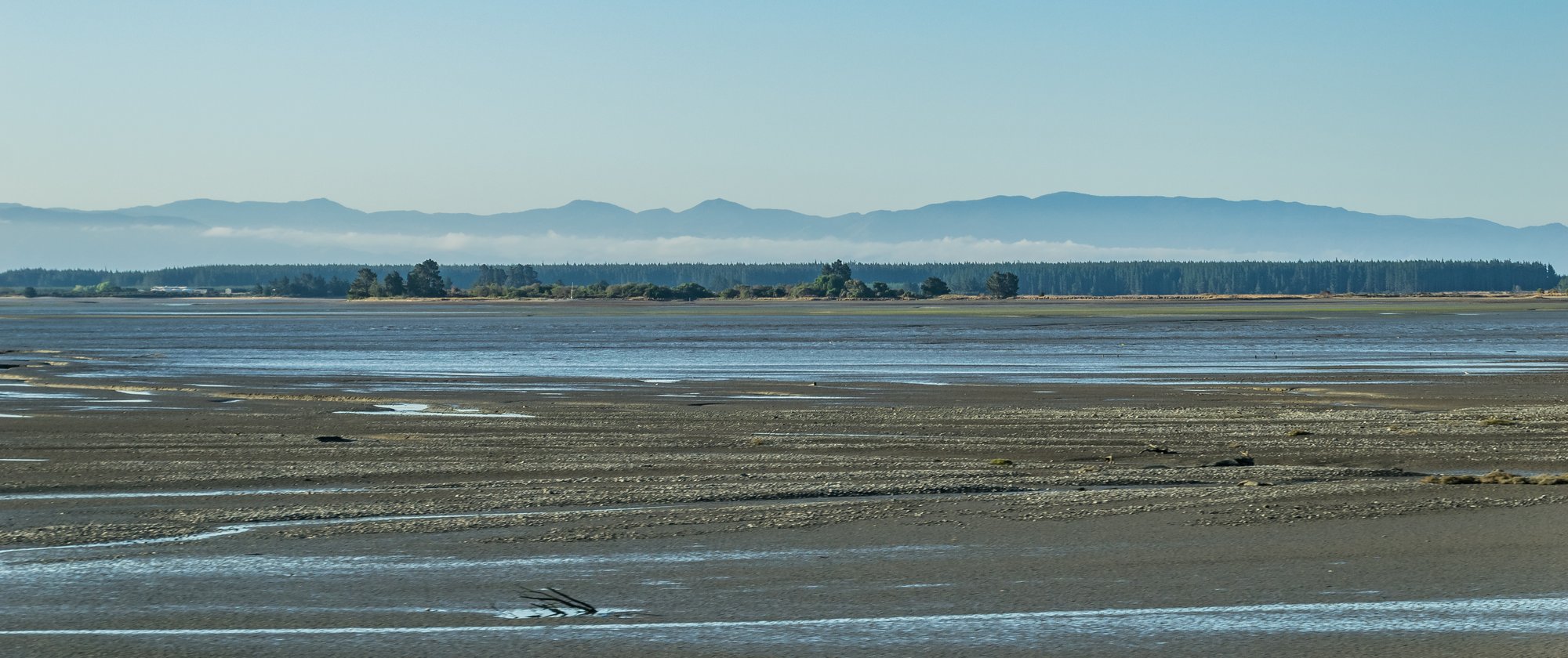
Waimea Inlet
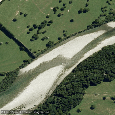
Aorere River
Explore Nelson waters
Top paddling waters
No waters available right now.
Popular Cities
Loading popular cities...
Explore near Tasman Bay / Te Tai-o-Aorere
Access points
Nearby waters
More in Nelson

Smarter Paddling Starts in the App.
Paddleways gives you everything you need to plan smarter, paddle better, and own every trip from first launch to takeout.