Maitai River
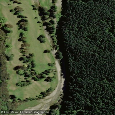
Maitai River
- Boat Ramps
- 1
- Access Points
- 1
- Campsites
- 2
The Maitai River flows through the heart of Nelson, on the northern tip of New Zealand's South Island, making it one of the more accessible urban paddling destinations in the country. The lower section of the river, from near the port end of town up through the city centre, is the primary paddling corridor and is navigable by stand-up paddleboard. This stretch passes under multiple bridges and runs alongside the Maitai River walkway, a popular pedestrian route.
A notable characteristic of this section is its tidal dependency — the lower Maitai is only paddleable at high tide, which limits the windows available for a trip. Paddlers should plan around tide times accordingly. The river in this stretch is calm and sheltered, with no wave action, and is largely protected from the sea breezes that commonly affect the nearby coast, making it suitable for beginners, children, and those seeking a straightforward outing.
The starting point for organised paddleboard trips is at the end of Paru Paru Road in the Nelson CBD. From there, paddlers travel upstream through the city centre, with the option to stop at the River Kitchen Cafe along the way, before returning to the put-in point with the tidal current assisting on the return leg. The round trip is typically completed in around one hour.
Water quality in the Maitai has been an ongoing concern. Sediment from the harvesting of Pinus radiata in the catchment has been identified as a primary issue affecting water quality. Community and council-led restoration efforts, including the Project Maitai/Mahitahi initiative, have focused on improving river health with the goal of making the river safe for swimming and gathering food. Prospective paddlers should check current water quality advisories before entering the water.
The river valley above the urban section retains a rural character and has been the subject of significant ecological restoration work, including riparian planting and wetland restoration at Groom Creek. The Maitai Valley has historical significance as a long-standing recreational reserve for Nelson residents, with the area having been protected from residential development for well over a century.
Water access, boat ramps & amenities
Learn how to get on Maitai River. Uncover great paddling access points, boat ramps, and all the facilities you need for an unforgettable day on the water. Some locations shown may border or include private property. Always check property boundaries and applicable regulations before visiting. PaddleWays's Public & Private Land layer can help you plan your access with confidence.
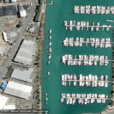
Paddle smarter with real-time insights
Whether you're en route and conditions shift or you're looking for the best spot based on current flows, we enable you to make informed decisions on the fly.







Nelson licenses and regulations
No licenses or regulations available for Nelson.
Find Places to Paddle

Over 400,000 Places to Paddle
Every user gets free access to launch points, boat ramps, and public property parcels.


Water and weather conditions (10 day forecast)
See the best times to paddle Maitai River and check the forecast before you go.
HY Maitai at Avon Tce
All Flow Stations
Paddling near Maitai River
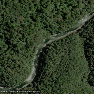
Te Hoiere / Pelorus River
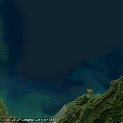
Tasman Bay / Te Tai-o-Aorere
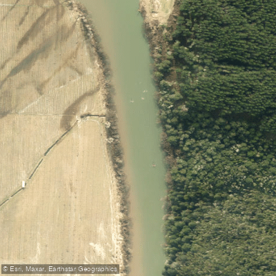
Motueka River
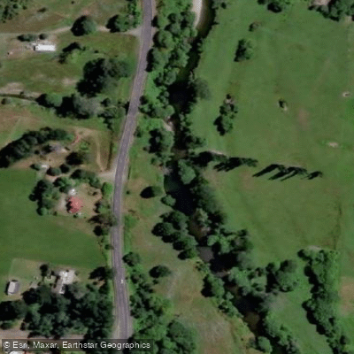
Rai River
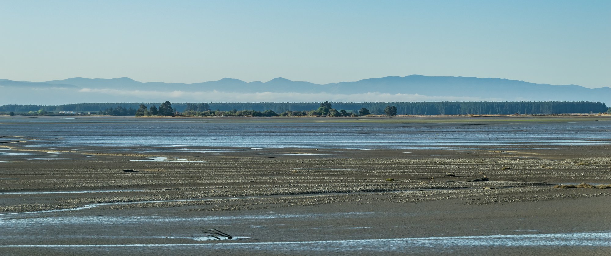
Waimea Inlet
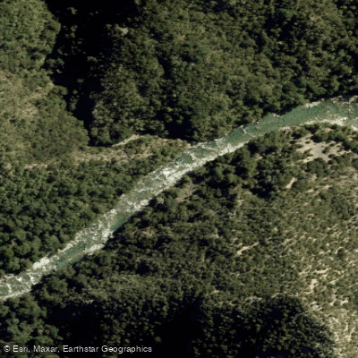
Waingaro River
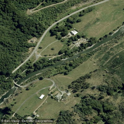
Wairoa River
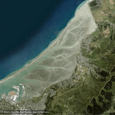
Nelson Haven
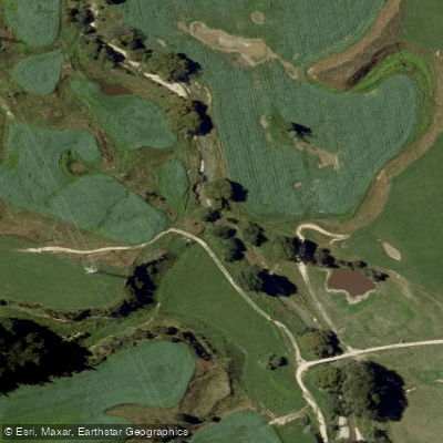
Kaituna River
Explore Nelson waters
Top paddling waters
No waters available right now.
Popular Cities
Loading popular cities...
Explore near Maitai River

Smarter Paddling Starts in the App.
Paddleways gives you everything you need to plan smarter, paddle better, and own every trip from first launch to takeout.