Karamea River
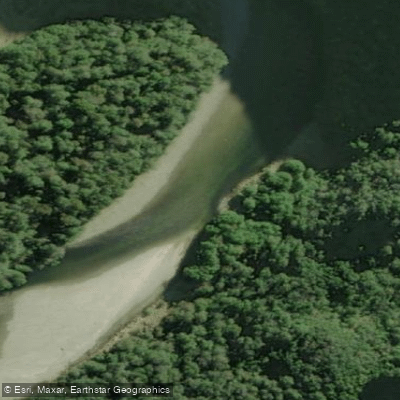
Karamea River
- Boat Ramps
- 0
- Access Points
- 0
- Campsites
- 1
The Karamea River flows from the Allen Ranges through Kahurangi National Park to the Tasman Sea at the town of Karamea on the West Coast of New Zealand's South Island. It is a long river by New Zealand standards, draining a substantial catchment that historically provided a travel corridor for both Māori and early European explorers. The river passes through remote wilderness and pristine national park forest before reaching the coast.
The river can be divided into several distinct sections with varying character and difficulty. The upper reaches, accessed via the Wangapeka Track, offer a multi-day packrafting or kayaking experience typically rated as beginner-to-intermediate, with pool-drop whitewater and scenic gorges. A common put-in is Trevor Carter Hut, reached after approximately 30 kilometres of hiking. The upper sections include areas of lower-volume, twisty boulder gardens, followed by a mix of rapids, lakes, and portages through the Roaring Lion and Ferris Creek sections. The Karamea Gorge is the most serious section, containing rapids rated New Zealand Class IV, and demands significant whitewater experience. Below the gorge, the river eases considerably and can be floated with less technical effort to the road bridge takeout. The full Wangapeka–Karamea loop is considered an advanced trip of five to seven days, with Department of Conservation huts available most nights.
For flow guidance, a gauge reading of around 0.9–1.1 metres is suggested for a first packrafting trip on the upper river. The West Coast receives high rainfall, so paddlers should budget extra days to wait out significant rain events, as flows can rise and drop quickly.
The lower reaches near the river mouth offer a very different experience, rated around Grade 2, and are suitable for casual kayaking. The area around Karamea town also provides access to several lagoons for flat-water paddling. The river mouth and estuary are noted for trout and kahawai fishing.
The upper river is best accessed via the Wangapeka Track from the West Coast side. The fishing season runs October to May, which broadly aligns with the more favourable paddling season, though the river can be run year-round with appropriate caution regarding weather and water levels.
Water access, boat ramps & amenities
Learn how to get on Karamea River. Uncover great paddling access points, boat ramps, and all the facilities you need for an unforgettable day on the water. Some locations shown may border or include private property. Always check property boundaries and applicable regulations before visiting. PaddleWays's Public & Private Land layer can help you plan your access with confidence.
Paddle smarter with real-time insights
Whether you're en route and conditions shift or you're looking for the best spot based on current flows, we enable you to make informed decisions on the fly.







West Coast licenses and regulations
No licenses or regulations available for West Coast.
Find Places to Paddle

Over 400,000 Places to Paddle
Every user gets free access to launch points, boat ramps, and public property parcels.


Water and weather conditions (10 day forecast)
See the best times to paddle Karamea River and check the forecast before you go.
Karamea Rv @ Gorge
Paddling near Karamea River
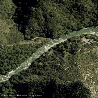
Waingaro River
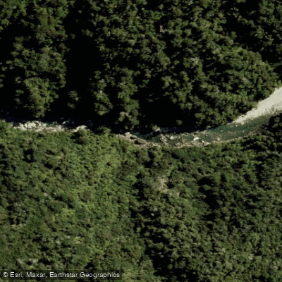
Anatoki River
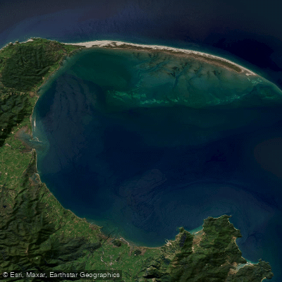
Golden Bay / Mohua
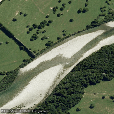
Aorere River
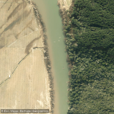
Motueka River
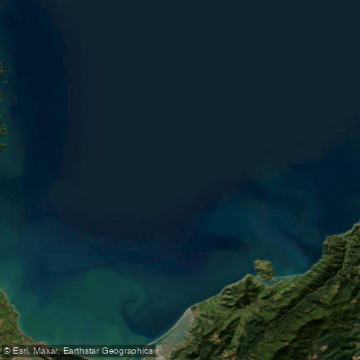
Tasman Bay / Te Tai-o-Aorere
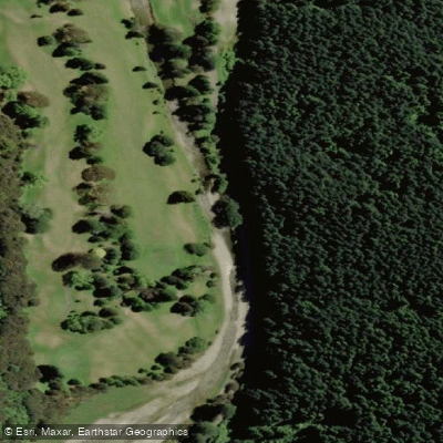
Maitai River
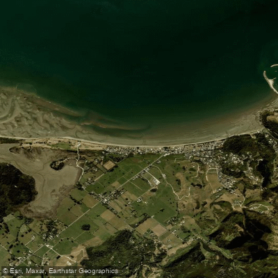
Pōhara Beach
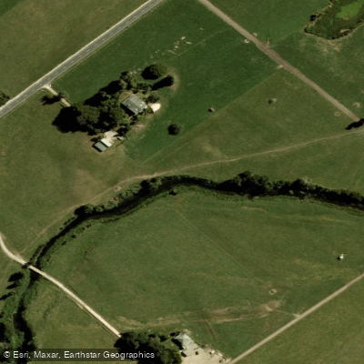
Motupipi River
Explore West Coast waters
Top paddling waters
No waters available right now.
Popular Cities
Loading popular cities...
Explore near Karamea River
Access points
Nearby waters
More in West Coast

Smarter Paddling Starts in the App.
Paddleways gives you everything you need to plan smarter, paddle better, and own every trip from first launch to takeout.