Motueka River
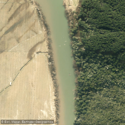
Motueka River
- Boat Ramps
- 0
- Access Points
- 0
- Campsites
- 1
The Motueka River in New Zealand's Nelson-Tasman region offers two distinct whitewater paddling sections. The upper section, running from McCleans Reserve to Baton Bridge, is rated Grade 2+ and is monitored via the Motueka at Woodstock flow gauge. The lower section, from Bluegums to Motueka Bridge, is rated Grade 2 and is monitored via the Motueka at Woodmen's Bend gauge. The river contains a range of water types including long riffles, glides, rapids, and deep pools.
Flow management is an important safety consideration. The Nelson Kayak Club recommends that intermediate paddlers not proceed on the Motueka if flows exceed 100 cumecs, and that beginners avoid the river above 70 cumecs. For the upper McLeans to Woodstock section specifically, 100 cumecs and falling, or 80 cumecs and a slowly rising river with no major rain event, are cited as the practical upper limits for intermediate paddlers. Flow information can be obtained through the Tasman District Council flow phone at 03 543 8555, or via the TDC online river flow monitoring system.
The river flows through the Tasman District and is well known as a brown trout fishery, which means anglers are frequently present on the water. Paddlers should be aware of this shared use. The surrounding landscape includes access to Kahurangi National Park and is in proximity to Abel Tasman National Park. Several road-accessible put-in and take-out points exist along the river corridor, including at Tapawera Bridge off SH61 and various Valley Road access points, though many of these are primarily documented for fishing access.
Water access, boat ramps & amenities
Learn how to get on Motueka River. Uncover great paddling access points, boat ramps, and all the facilities you need for an unforgettable day on the water. Some locations shown may border or include private property. Always check property boundaries and applicable regulations before visiting. PaddleWays's Public & Private Land layer can help you plan your access with confidence.
Paddle smarter with real-time insights
Whether you're en route and conditions shift or you're looking for the best spot based on current flows, we enable you to make informed decisions on the fly.







Tasman licenses and regulations
No licenses or regulations available for Tasman.
Find Places to Paddle

Over 400,000 Places to Paddle
Every user gets free access to launch points, boat ramps, and public property parcels.


Water and weather conditions (10 day forecast)
See the best times to paddle Motueka River and check the forecast before you go.
HY Motueka at Gorge
All Flow Stations
Paddling near Motueka River
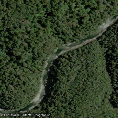
Te Hoiere / Pelorus River
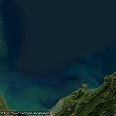
Tasman Bay / Te Tai-o-Aorere
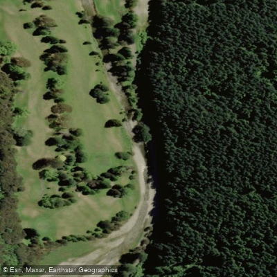
Maitai River
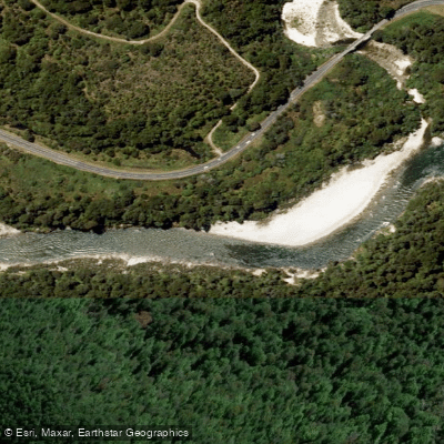
Buller River
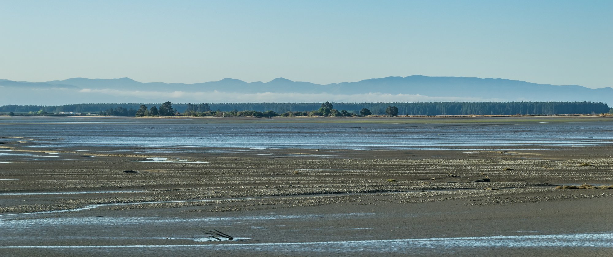
Waimea Inlet
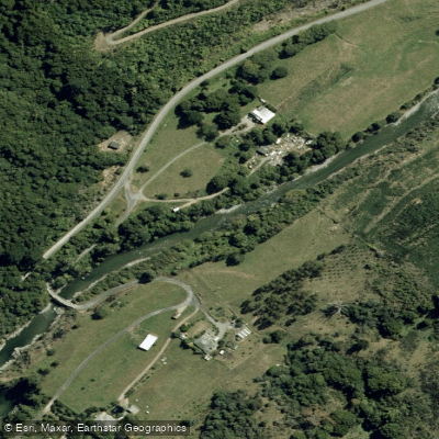
Wairoa River
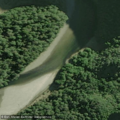
Karamea River
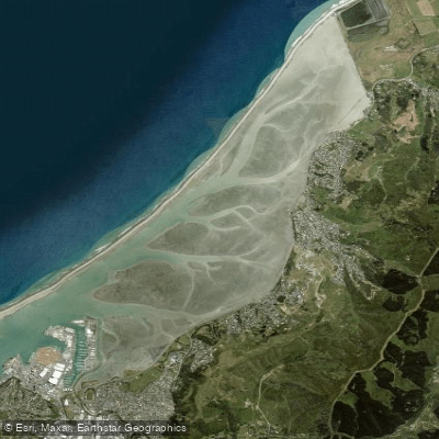
Nelson Haven
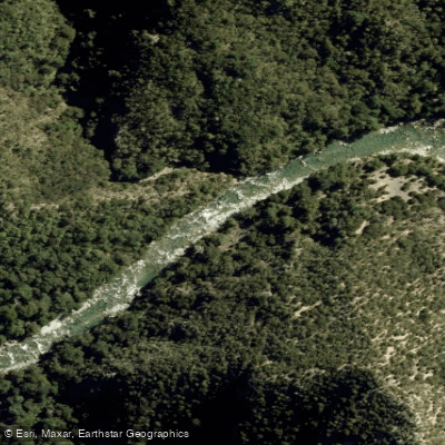
Waingaro River
Explore Tasman waters
Top paddling waters
No waters available right now.
Popular Cities
Loading popular cities...
Explore near Motueka River

Smarter Paddling Starts in the App.
Paddleways gives you everything you need to plan smarter, paddle better, and own every trip from first launch to takeout.