Lake Rotorua / Te Rotorua Nui Ā Kahumatamomoe
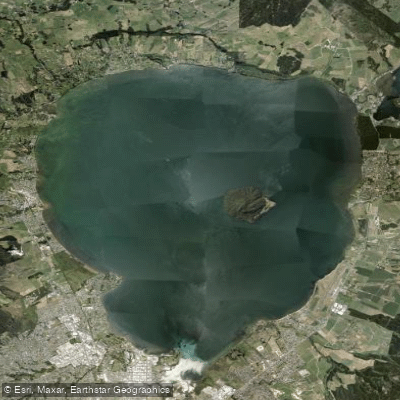
Lake Rotorua / Te Rotorua Nui Ā Kahumatamomoe
- Boat Ramps
- 8
- Access Points
- 0
- Campsites
- 7
Lake Rotorua, known in full as Te Rotorua Nui ā Kahumatamomoe, is a volcanic caldera lake situated in the Bay of Plenty Region on New Zealand's North Island, at an elevation of approximately 280 metres above sea level. It is the second largest lake in the North Island by surface area, covering 79.8 square kilometres, with a roughly teardrop shape measuring about 12 kilometres from north to south and nearly 10 kilometres west to east. Despite its considerable extent, the lake is notably shallow, with an average depth of just 10 metres and a maximum depth of 45 metres.
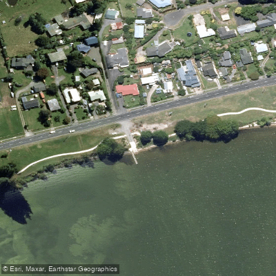
The lake's name honours Kahumatamomoe, a Māori rangatira of the Te Arawa confederation, and was given by the explorer Īhenga. The city of Rotorua sits along the southern shore, and the lake is well integrated into the urban landscape, with lakefront development visible from the water alongside areas of native bush. Geothermal activity is a defining characteristic of the surrounding environment — steam rises in places along the shoreline, and the Sulphur Bay area on the south-eastern shore has milky, sulphur-suspended water due to active geothermal processes. Sulphur Bay is also a wildlife refuge supporting a range of bird species and is accessible by water, though paddlers should be aware it is a protected area for native birdlife.
Mokoia Island sits within the lake and is a notable landmark visible from the water. The Ōhinemutu Māori settlement on the southern shore is another point of cultural interest accessible from the lake edge.
For paddlers, Lake Rotorua is suitable for casual paddling, with generally calm water. Rental operators and accessible launch points are available near the shores. The lake is considered appropriate for confident independent paddlers with basic kayaking skills, though guided options are not prominently available on the lake itself. The lake is also regarded as the most productive trout fishery in New Zealand, supporting both rainbow trout and brown trout, so paddlers should expect fishing activity on the water. Primary inflows include the Utuhina Stream, Hamurana Spring, and Ngongotahā Stream, while the Ohau Channel serves as the primary outflow.
Water access, boat ramps & amenities
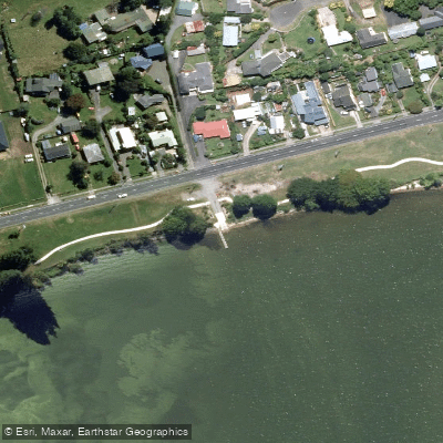
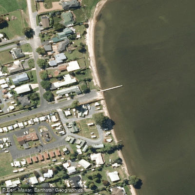
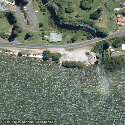
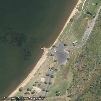
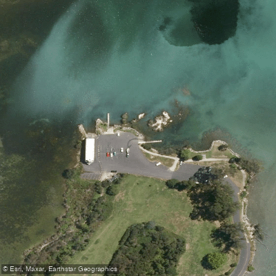
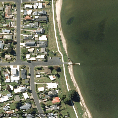
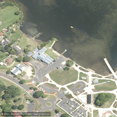
Learn how to get on Lake Rotorua / Te Rotorua Nui Ā Kahumatamomoe. Uncover great paddling access points, boat ramps, and all the facilities you need for an unforgettable day on the water. Some locations shown may border or include private property. Always check property boundaries and applicable regulations before visiting. PaddleWays's Public & Private Land layer can help you plan your access with confidence.
Paddle smarter with real-time insights
Whether you're en route and conditions shift or you're looking for the best spot based on current flows, we enable you to make informed decisions on the fly.







Bay Of Plenty licenses and regulations
No licenses or regulations available for Bay Of Plenty.
Find Places to Paddle

Over 400,000 Places to Paddle
Every user gets free access to launch points, boat ramps, and public property parcels.


Water and weather conditions (10 day forecast)
See the best times to paddle Lake Rotorua / Te Rotorua Nui Ā Kahumatamomoe and check the forecast before you go.
No forecast data available.
Paddling near Lake Rotorua / Te Rotorua Nui Ā Kahumatamomoe
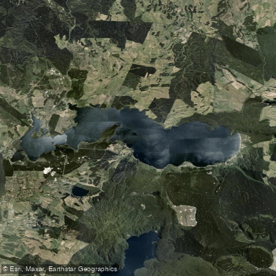
Lake Rotoiti / Te Roto Kite Ā Ihenga I Ariki Ai Kahu
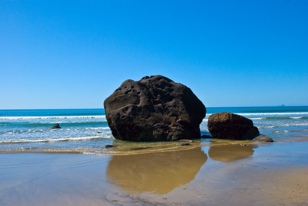
Bay of Plenty
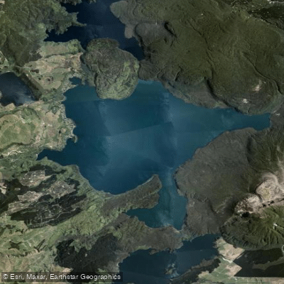
Lake Tarawera
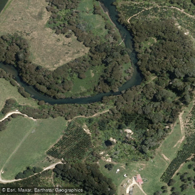
Kaituna River
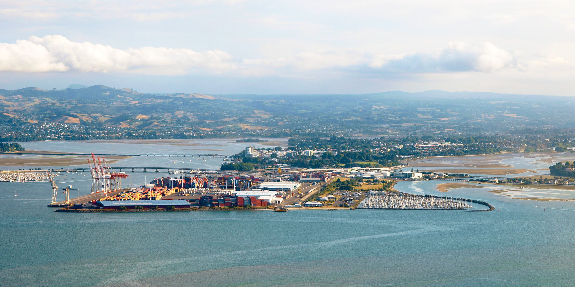
Tauranga Harbour
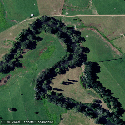
Waihou River
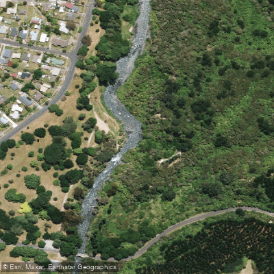
Tarawera River
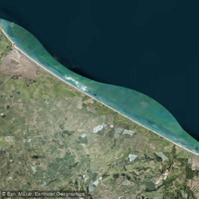
Pukehina Beach
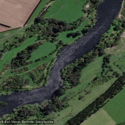
Waikato River
Explore Bay Of Plenty waters
Top paddling waters
No waters available right now.
Popular Cities
Loading popular cities...
Explore near Lake Rotorua / Te Rotorua Nui Ā Kahumatamomoe
Access points
Nearby waters
More in Bay Of Plenty

Smarter Paddling Starts in the App.
Paddleways gives you everything you need to plan smarter, paddle better, and own every trip from first launch to takeout.