Palliser Bay
- Saltwater
- Bay
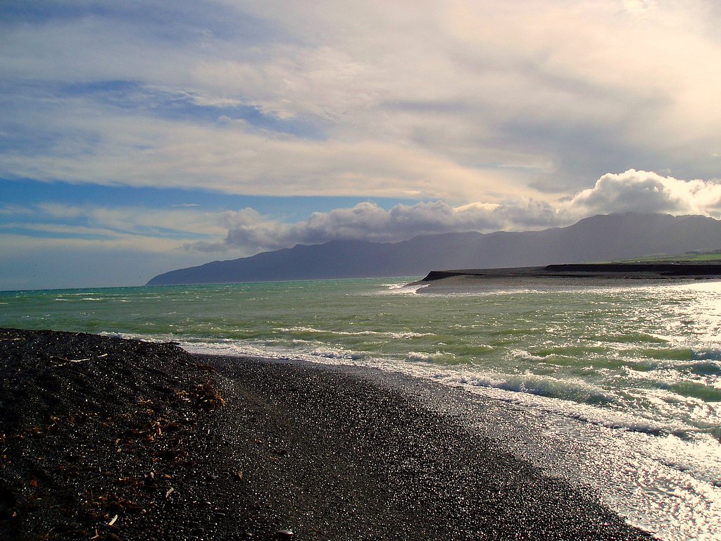
Palliser Bay
- Saltwater
- Bay
- Sq. miles
- 126
- Boat Ramps
- 0
- Access Points
- 0
- Campsites
- 2
Palliser Bay is a large, open bay on the southern coast of New Zealand's North Island, stretching approximately 40 kilometres from Turakirae Head to Cape Palliser. This coastline is directly exposed to Cook Strait and the Pacific Ocean, making it highly susceptible to weather and winds from all directions. The bay's character is defined by its dramatic, exposed coastline and significant fetch, which can generate substantial waves, particularly when winds funnel through local features like Windy Point. For paddlers, this translates to a demanding and potentially hazardous environment suitable only for experienced sea kayakers with robust self-rescue skills and proper safety gear, including a full wetsuit, lifejacket, and a reliable communication or emergency beacon.
Access points for launching and landing include the beach south of Lake Ferry, the small fishing settlement of Ngawi, and areas near Te Humenga Point. Ngawi is notable for its lack of a wharf; fishing boats are launched directly from the beach, often with tractors, indicating a surf zone that paddlers must navigate. Crossing the wide expanse of the bay exposes paddlers to strong offshore winds and currents, as evidenced by a rescue incident where a kayaker was carried hundreds of metres out to sea from a starting point only 500 metres offshore. There is significant commercial fishing boat traffic in the area, and paddlers should monitor VHF radio for communication and be prepared for channel crossings when traveling between points.
The best time for paddling is during periods of settled, calm weather, as strong northerly winds are particularly dangerous and can create severe conditions rapidly. The area offers notable sights including the Cape Palliser lighthouse, a large fur seal colony, and dramatic geological features like the Putangirua Pinnacles. The water is cold year-round, necessitating appropriate thermal protection. While the bay has a remote and rugged beauty, it demands respect and thorough preparation, with paddlers advised to study marine forecasts meticulously and carry a personal locator beacon.
Water access, boat ramps & amenities
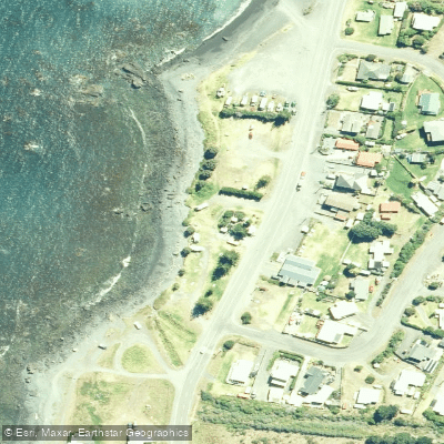
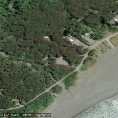
Learn how to get on Palliser Bay. Uncover great paddling access points, boat ramps, and all the facilities you need for an unforgettable day on the water. Some locations shown may border or include private property. Always check property boundaries and applicable regulations before visiting. PaddleWays's Public & Private Land layer can help you plan your access with confidence.
Paddle smarter with real-time insights
Whether you're en route and conditions shift or you're looking for the best spot based on current flows, we enable you to make informed decisions on the fly.







Wellington licenses and regulations
No licenses or regulations available for Wellington.
Find Places to Paddle

Over 400,000 Places to Paddle
Every user gets free access to launch points, boat ramps, and public property parcels.


Tides, wind & water conditions (10 day forecast)
On open water, wind and tide matter as much as the weather. See the best times to paddle Palliser Bay and check the marine forecast before you launch.
Loading tide predictions…
Paddling near Palliser Bay
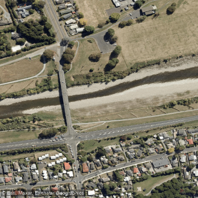
Te Awa Kairangi / Hutt River
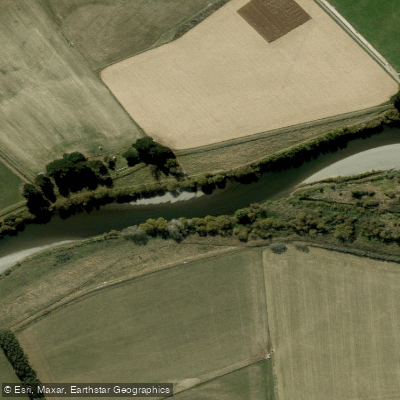
Ruamahanga River
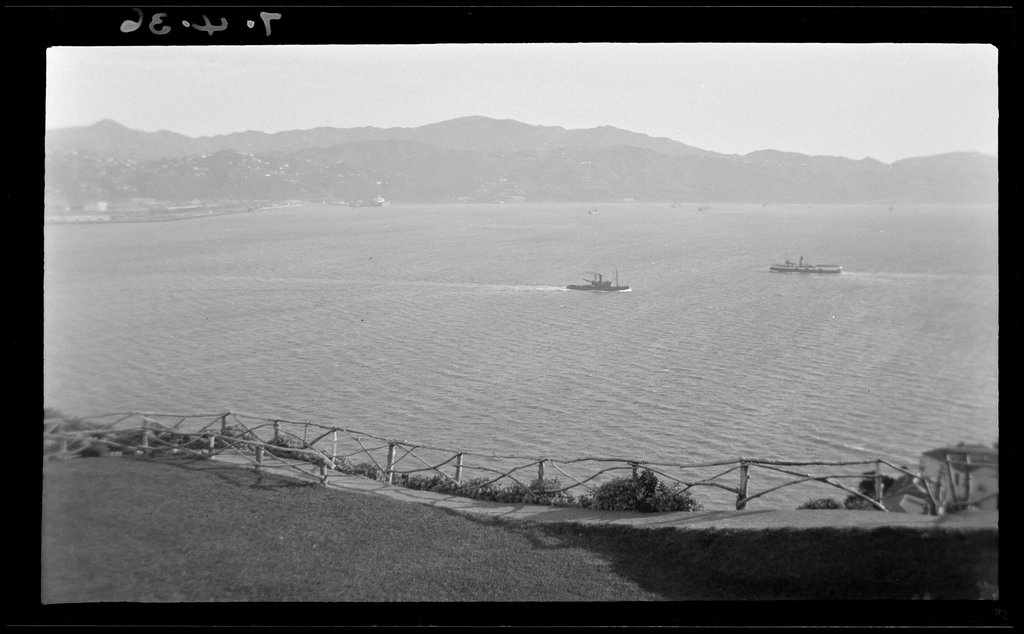
Wellington Harbour / Port Nicholson
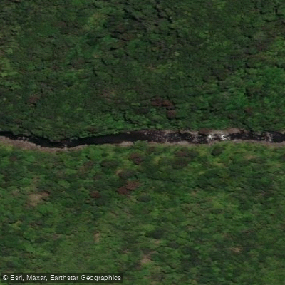
Tauwharenīkau River
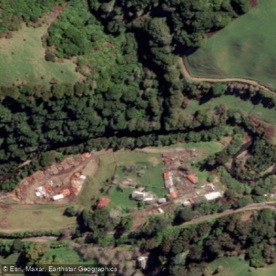
Waikanae River
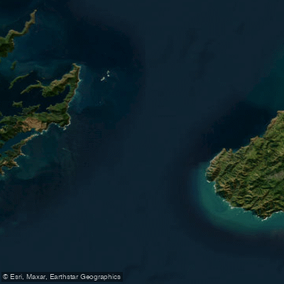
Te Moana-o-Raukawa / Cook Strait
Waiohine River
Ōtaki River
Akatarawa River
Explore Wellington waters
Top paddling waters
No waters available right now.
Popular Cities
Loading popular cities...
Explore near Palliser Bay

Smarter Paddling Starts in the App.
Paddleways gives you everything you need to plan smarter, paddle better, and own every trip from first launch to takeout.