Waikanae River
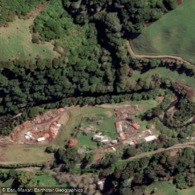
Waikanae River
- Boat Ramps
- 0
- Access Points
- 0
- Campsites
- 1
The Waikanae River runs a short course from the bush-clad hills behind Reikorangi down to its estuary at Otaihanga on the Kapiti Coast. The character of the river changes considerably along its length. The upper reaches are steep and gorge-like, making river travel physically demanding. The lower reaches, along with the Otaihanga and Waimanu Lagoon areas, offer safe and sheltered water that is well suited to entry-level paddlers and children. Kayaking and canoeing are the predominant paddle craft activities in these lower sections.
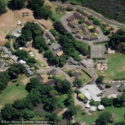
Otaihanga Domain, located south of Waikanae off Otaihanga Road, provides a convenient access point to the lower river. A public walkway runs along the true left (southern) bank from the domain to within approximately one kilometre of State Highway 1, which can be useful for trip logistics. The river has numerous access points along its lower reaches, with detailed information available through Fish & Game NZ's Kapiti Coast brochure.
Paddlers sharing the water with other users should be aware that the lower river and estuary area attract significant fishing activity. The Waikanae is a popular trout fishery, with the fishing season running from October to April. The river is also a heavily used whitebaiting river, with whitebait fishing concentrated from the river mouth upstream toward SH1 between 15 August and 30 November, during which time up to 60 whitebaiters at a time may be present when fish are running. Paddlers planning trips during these periods should anticipate congestion in the lower reaches and near the river mouth.
Water access, boat ramps & amenities
Learn how to get on Waikanae River. Uncover great paddling access points, boat ramps, and all the facilities you need for an unforgettable day on the water. Some locations shown may border or include private property. Always check property boundaries and applicable regulations before visiting. PaddleWays's Public & Private Land layer can help you plan your access with confidence.
Paddle smarter with real-time insights
Whether you're en route and conditions shift or you're looking for the best spot based on current flows, we enable you to make informed decisions on the fly.







Wellington licenses and regulations
No licenses or regulations available for Wellington.
Find Places to Paddle

Over 400,000 Places to Paddle
Every user gets free access to launch points, boat ramps, and public property parcels.


Water and weather conditions (10 day forecast)
See the best times to paddle Waikanae River and check the forecast before you go.
Waikanae River at Water Treatment Plant
Paddling near Waikanae River
Ōtaki River
Te Moana-o-Raukawa / Cook Strait
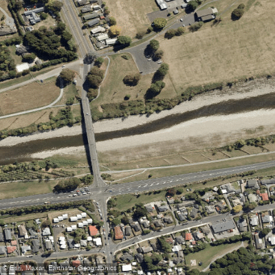
Te Awa Kairangi / Hutt River
Tauwharenīkau River
South Taranaki Bight
Waiohine River
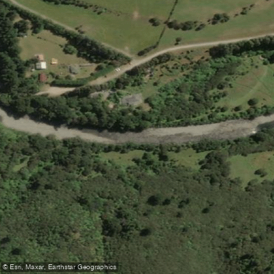
Waingawa River
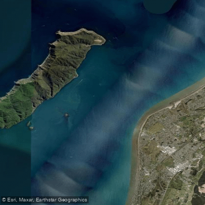
Rauoterangi Channel
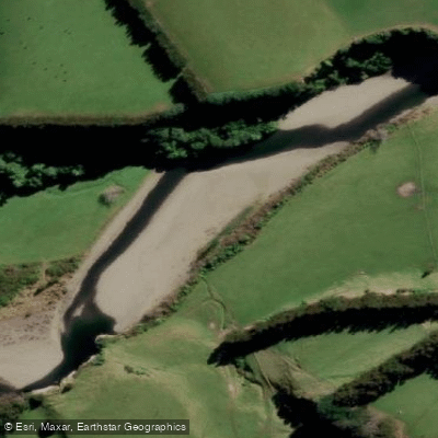
Mangahao River
Explore Wellington waters
Top paddling waters
No waters available right now.
Popular Cities
Loading popular cities...
Explore near Waikanae River

Smarter Paddling Starts in the App.
Paddleways gives you everything you need to plan smarter, paddle better, and own every trip from first launch to takeout.